Search
Old and antique maps of Western Canada for sale. Our authentic Western Canada map inventory features antique maps of Canada from the period of the earliest European exploration by Vancouver, Russian explorers, Malaspina, and Mackenzie. Our map inventory typically includes antique and vintage city views and plans of Victoria and Vancouver, as well as maps of the Yukon, British Columbia, Alberta, etc. Vintage pictorial maps of Western Canada are also for sale.
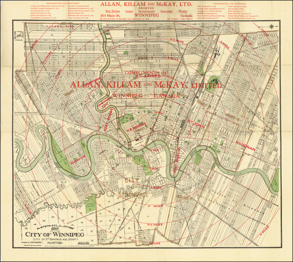
Place/Date:
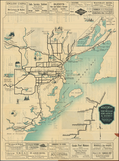
Winnepeg / 1910
Size:
28.5 x 26 inches
Condition:
VG
Stock#:
83288

Place/Date:
Ottawa / 1939 - 1942
Size:
29 x 22 inches
Condition:
VG+
Stock#:
88984
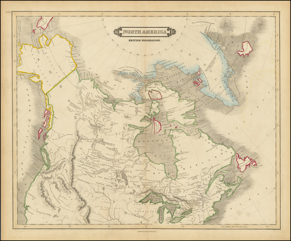
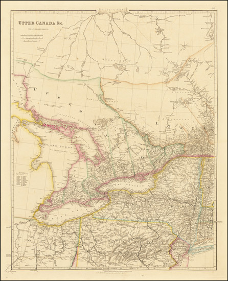
Place/Date:
Edinburgh / 1828
Size:
20.5 x 16.5 inches
Condition:
VG
Stock#:
93952
Place/Date:
Chicago / 1891
Size:
22 x 16 inches
Condition:
VG+
Stock#:
99524
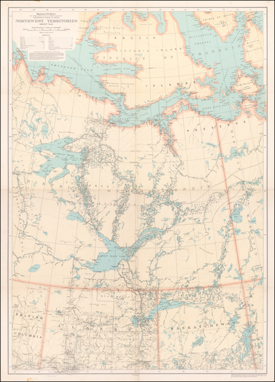
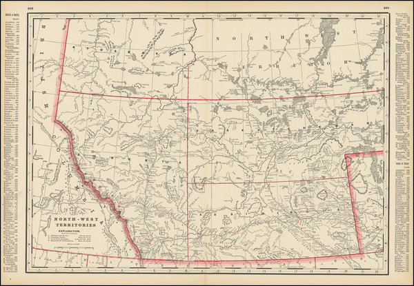
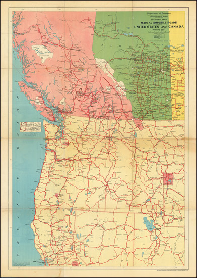
Place/Date:
Ottawa / 1933
Size:
24 x 33.5 inches
Condition:
VG+
Stock#:
59958
Canadian Department of the Interior's 1933 antique map showing Western Canada.
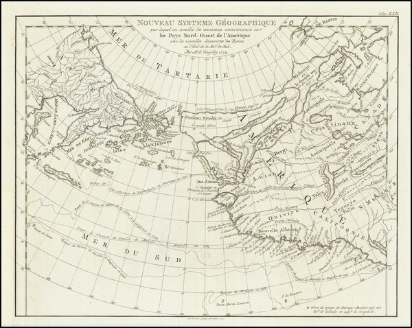
Place/Date:
Amsterdam / 1774 (1777)
Size:
10.5 x 8.5 inches
Condition:
VG+
Stock#:
80212

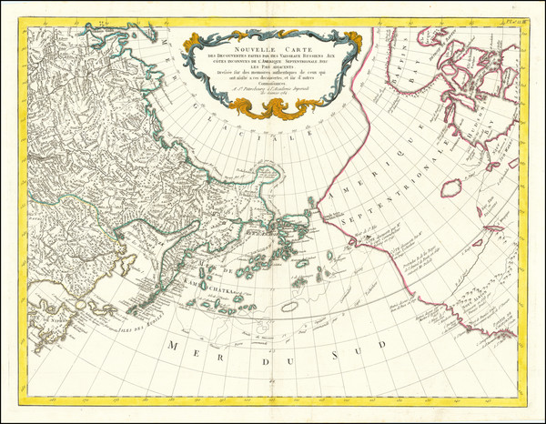
Place/Date:
St. Petersburg / 1773
Size:
25 x 18 inches
Condition:
VG
Stock#:
90200
Place/Date:
Venice / 1784
Size:
25.5 x 19.5 inches
Condition:
VG+
Stock#:
74377
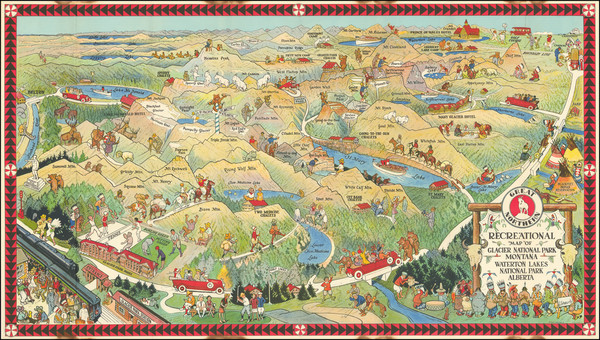
Place/Date:
St. Paul, MN / 1925
Size:
31.5 x 18 inches
Condition:
VG+
Stock#:
92071
Place/Date:
n.p. / 1915
Size:
20 x 27.5 inches
Condition:
VG
Stock#:
103140
Place/Date:
Ottawa / 1938
Size:
23 x 34 inches
Condition:
VG
Stock#:
92105
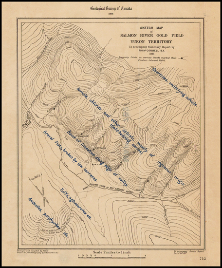
Place/Date:
n.p. / 1901
Size:
5.5 x 7 inches
Condition:
VG+
Stock#:
43477
Antique Map of Salmon River Gold Field Yukon Territory
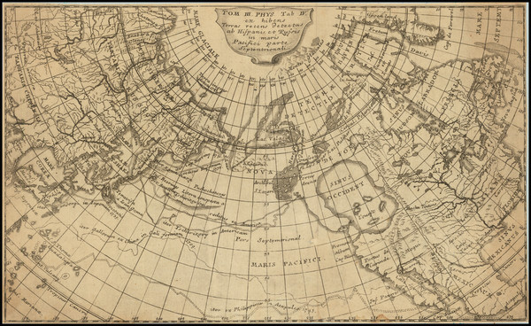
Place/Date:
n.p. / 1753 circa
Size:
11.25 x 6.75 inches
Condition:
VG
Stock#:
86086
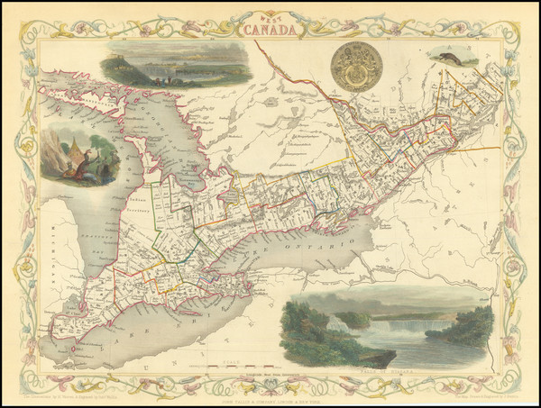
Place/Date:
London / 1842
Size:
19 x 24 inches
Condition:
VG+
Stock#:
66939
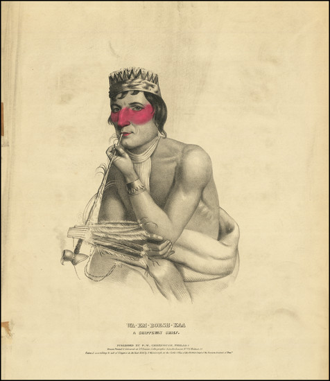
Place/Date:
Philadelphia / 1838 circa
Size:
15 x 17.25 inches (sheet size)
Condition:
VG
Stock#:
77698