
Search
Old and antique maps of Western Canada for sale. Our authentic Western Canada map inventory features antique maps of Canada from the period of the earliest European exploration by Vancouver, Russian explorers, Malaspina, and Mackenzie. Our map inventory typically includes antique and vintage city views and plans of Victoria and Vancouver, as well as maps of the Yukon, British Columbia, Alberta, etc. Vintage pictorial maps of Western Canada are also for sale.
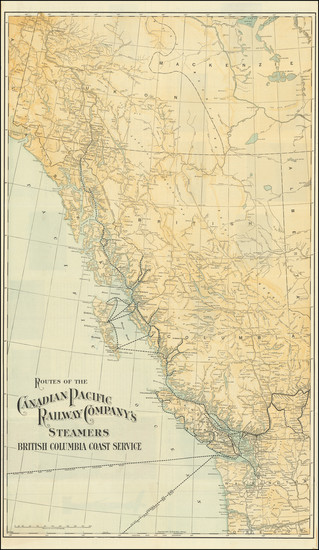
Place/Date:
Chicago / 1909
Size:
18 x 30.25 inches
Condition:
VG
Stock#:
83915
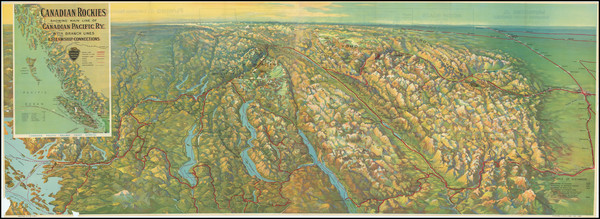
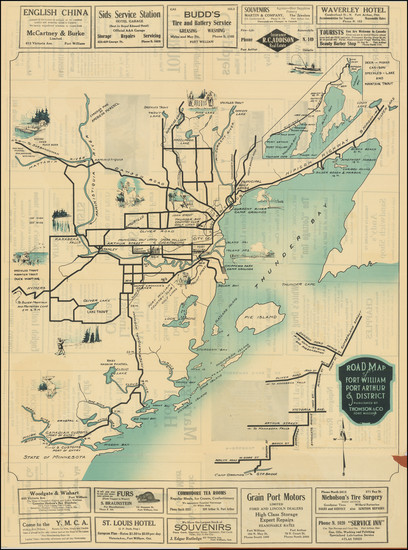
Place/Date:
n.p. / 1921
Size:
46.25 x 16.5 inches
Condition:
Good
Stock#:
92485
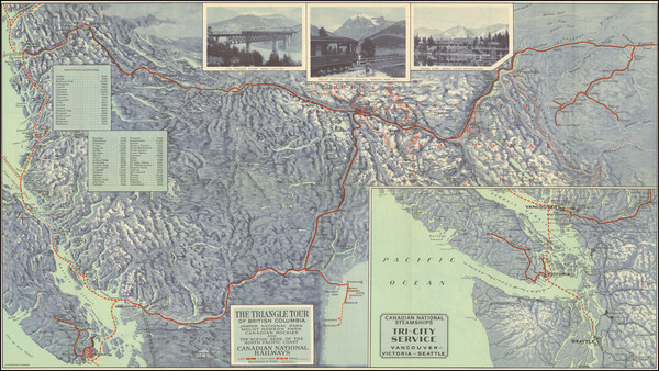
Place/Date:
n.p. / 1922 circa
Size:
24 x 19.5 inches
Condition:
VG
Stock#:
31983
1922 antique Canadian National Railway map showing Western Canada.
Place/Date:
n.p. / 1927
Size:
30 x 17 inches
Condition:
VG+
Stock#:
96221
Place/Date:
Ottawa / 1933
Size:
24 x 33.5 inches
Condition:
VG+
Stock#:
59958
Canadian Department of the Interior's 1933 antique map showing Western Canada.
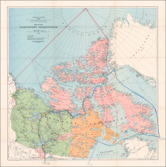
Place/Date:
Ottawa / 1929
Size:
34 x 35 inches
Condition:
VG+
Stock#:
60046
Original map showing Western Canada by Canadian Department of the Interior made in 1929.
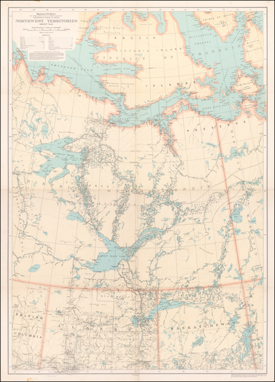
Place/Date:
Ottawa / 1909 circa
Size:
33 x 38 inches
Condition:
VG
Stock#:
83917
Place/Date:
Ottawa / 1908
Size:
28.5 x 27 inches
Condition:
VG+
Stock#:
83937

Place/Date:
Ottawa / 1939 - 1942
Size:
29 x 22 inches
Condition:
VG+
Stock#:
88984
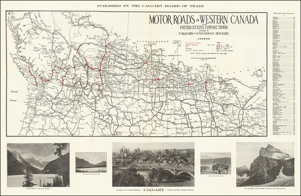
Place/Date:
Calgary / 1939 circa
Size:
32.25 x 19.8 inches
Condition:
VG+
Stock#:
92594
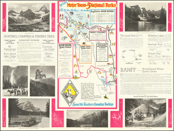
Place/Date:
Banff, Alberta / 1925 circa
Size:
24 x 18 inches
Condition:
VG+
Stock#:
81411
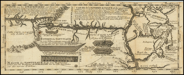
Place/Date:
Paris / 1741
Size:
11.5 x 4.5 inches
Condition:
VG
Stock#:
84108
Lahontan's 1741 antique map showing Western Canada.
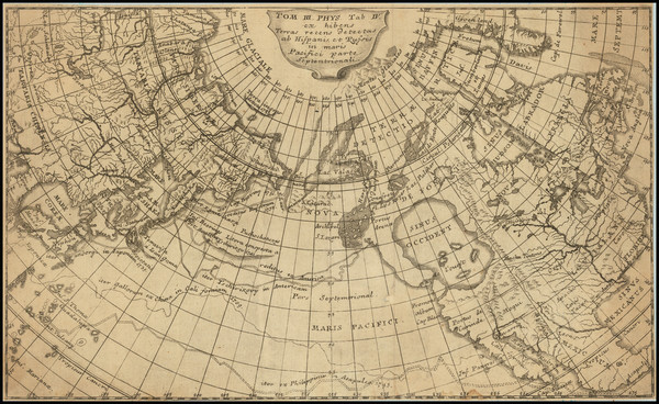
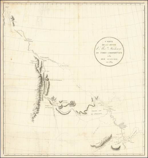
Place/Date:
n.p. / 1753 circa
Size:
11.25 x 6.75 inches
Condition:
VG
Stock#:
86086
Place/Date:
n.p. / 1915
Size:
20 x 27.5 inches
Condition:
VG
Stock#:
103140
Place/Date:
Paris / 1802
Size:
22 x 23.5 inches
Condition:
VG
Stock#:
103457
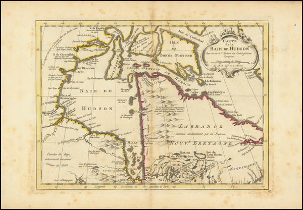
Place/Date:
Amsterdam / 1770
Size:
12 x 9 inches
Condition:
VG
Stock#:
101583
Antique map showing Western Canada by Krevelt made in 1770.