
Search
Old and antique maps of Canada for sale. Our authentic Canada map inventory features antique maps of Canada from the period of New France, the Hudson Bay Company, and early exploration by mapmakers such as Champlain, Vancouver, and Mackenzie. Our map inventory typically includes antique and vintage city views and plans of Montreal, Quebec, Toronto, and Vancouver. Vintage pictorial maps of Canada are also for sale.
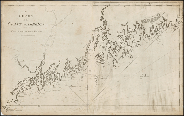
Place/Date:
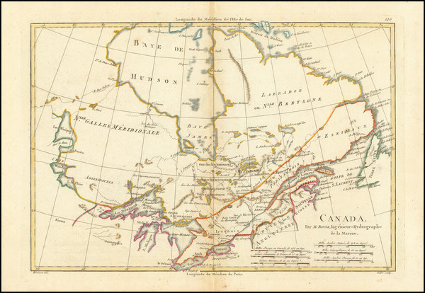
Boston / 1794 (1801)
Size:
32 x 20 inches
Condition:
VG
Stock#:
26305
1794 rare Norman map showing Canada.
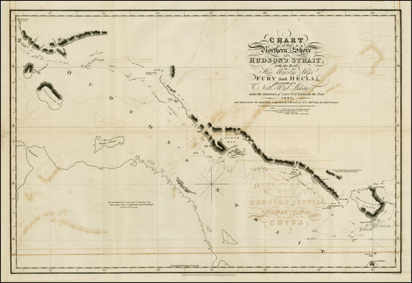
Place/Date:
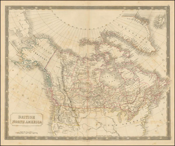
London / 1824
Size:
24 x 16.5 inches
Condition:
VG
Stock#:
26460
Antique map showing Canada by Parry, 1824.
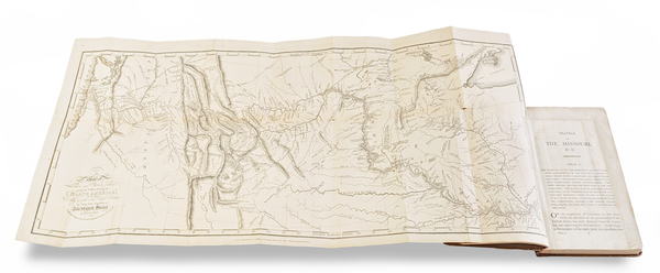
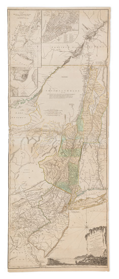
Place/Date:
London / 1815
Size:
27 x 12 inches (map)
Condition:
VG
Stock#:
81775

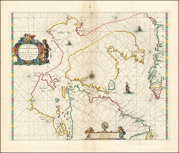
Place/Date:
Amsterdam / 1695 circa
Size:
39 x 32 inches
Condition:
VG
Stock#:
46848
17th Century Dutch Sea Chart on Vellum
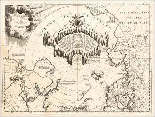
Place/Date:
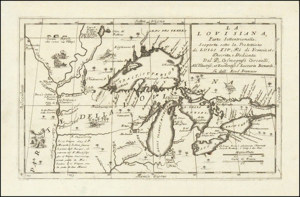
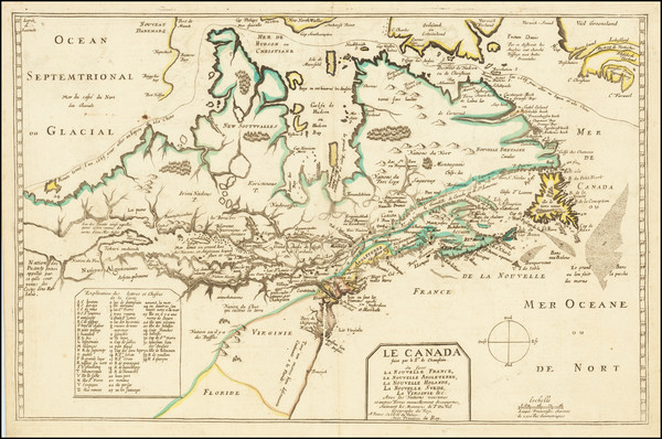
Venice / 1690 circa
Size:
24 x 16 inches
Condition:
VG
Stock#:
0017dg
1690 antique Coronelli map showing Canada.
Place/Date:
Venice / 1691
Size:
17 x 10 inches
Condition:
VG+
Stock#:
98656
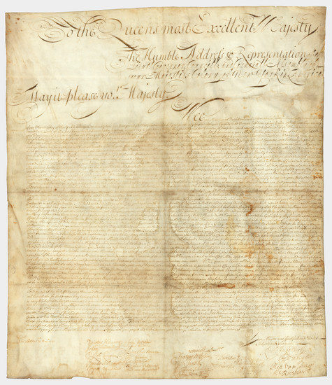
Place/Date:
n.p. (New York or Albany?) / 1709
Size:
23 x 27 inches Sheet Size
Condition:
VG
Stock#:
85409
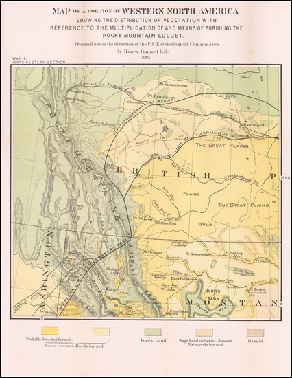
Place/Date:
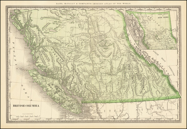
Washingon D.C. / 1879
Size:
15 x 18.5 inches
Condition:
VG
Stock#:
60915
Rare map showing Canada by United States Department of the Interior, 1879.
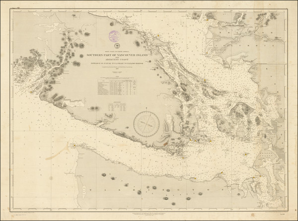
Place/Date:
Washington, D.C. / 1886 (1887)
Size:
36.5 x 27 inches
Condition:
VG
Stock#:
86015
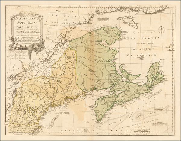
Place/Date:
London / 1755 (1756)
Size:
22.5 x 17 inches
Condition:
Stock#:
86975
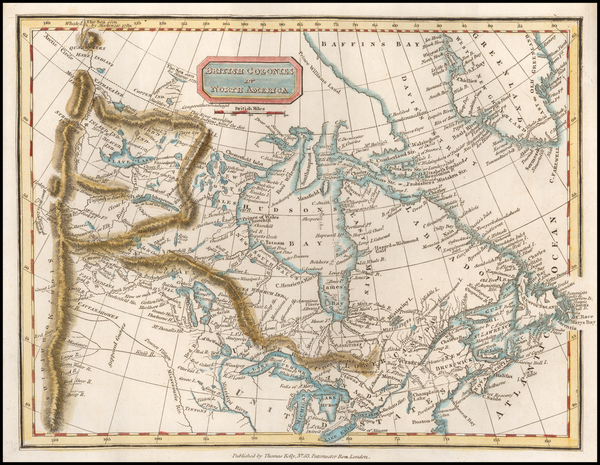
Place/Date:
London / 1810
Size:
9.5 x 7.5 inches
Condition:
VG+
Stock#:
57085
Kelly's 1810 rare map showing Canada.
Place/Date:
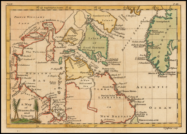
London / 1756
Size:
8.5 x 6 inches
Condition:
VG+
Stock#:
43552dp
Antique map showing Canada by Jefferys made in 1756.
Place/Date:
London / 1755
Size:
24 x 18.5 inches
Condition:
VG
Stock#:
51712
1755 antique Jefferys map showing Canada.
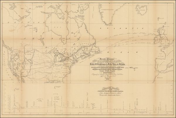
Place/Date:
Montreal / 1855
Size:
34.5 x 22.5 inches
Condition:
VG
Stock#:
89240
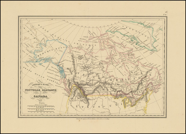
Place/Date:
Brussels / 1837
Size:
12.75 x 8.75 inches
Condition:
VG+
Stock#:
91310
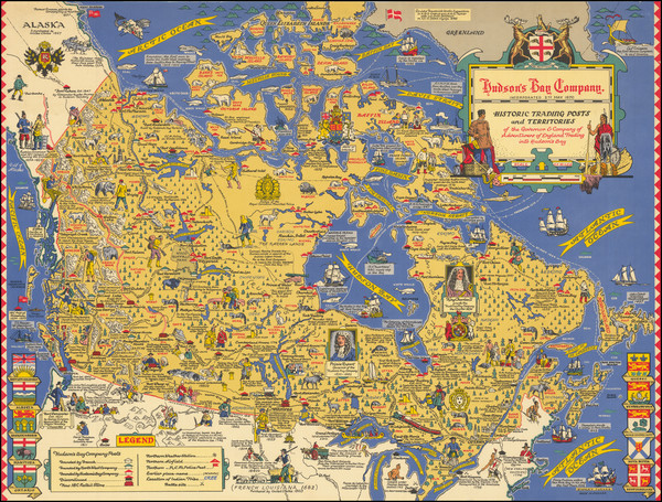
Place/Date:
Toronto ? / 1947 circa
Size:
25.5 x 19 inches
Condition:
VG+
Stock#:
87872
Antique map showing Canada by Turner made in 1947.
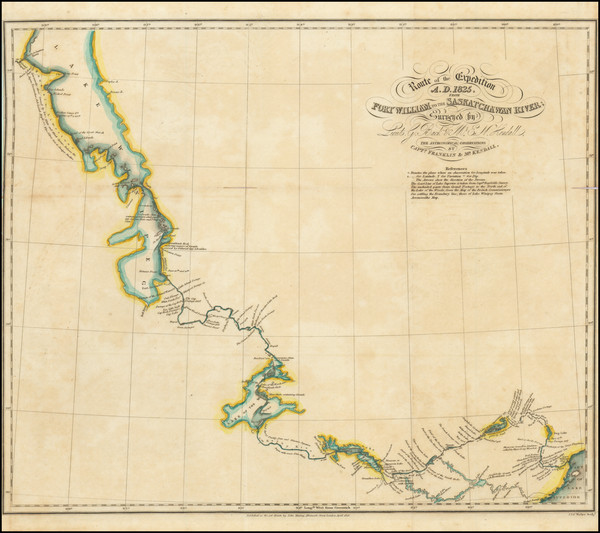
Place/Date:
London / 1828
Size:
17 x 14 inches
Condition:
VG
Stock#:
99372
Place/Date:
London / 1854
Size:
20 x 16.25 inches
Condition:
Good
Stock#:
100831
Place/Date:
London / 1848
Size:
20 x 16.4 inches
Condition:
VG
Stock#:
100905
Place/Date:
London / 1776
Size:
20.5 x 43.5 inches Each Sheet
Condition:
Good
Stock#:
91422
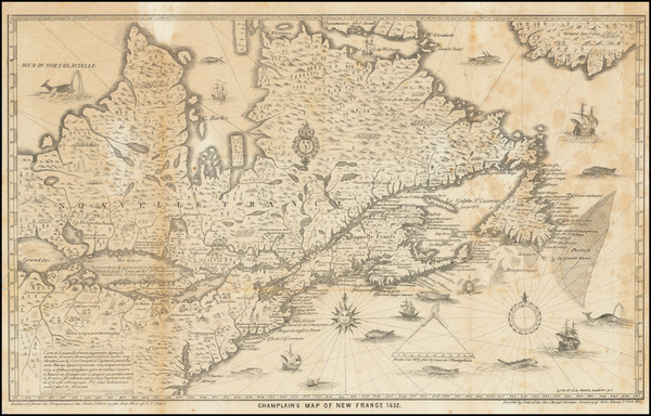
Place/Date:
Albany, NY / 1632 (1850)
Size:
17 x 10.5 inches
Condition:
VG
Stock#:
83894
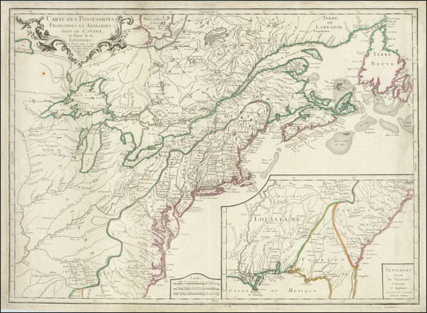
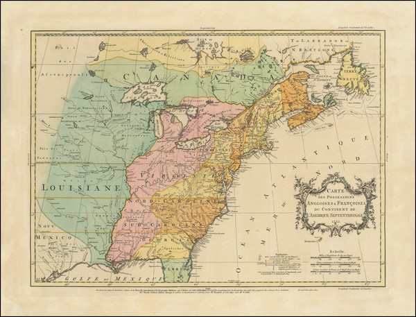
Place/Date:
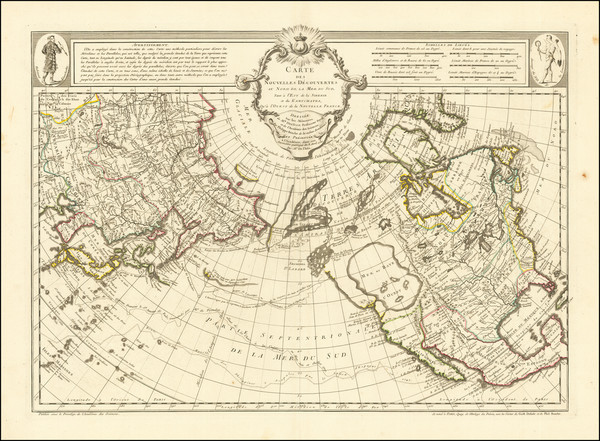
Paris / 1756
Size:
30 x 21.5 inches
Condition:
VG
Stock#:
94026

Place/Date:
London / 1852 circa
Size:
21.5 x 9 inches
Condition:
VG+
Stock#:
68325
Place/Date:
London / 1775
Size:
19 x 44 inches
Condition:
VG
Stock#:
0002dg
1775 rare Sayer & Bennett map showing Canada.
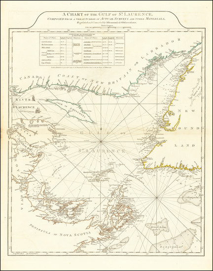
Place/Date:
London / 1775
Size:
19.5 x 24 inches
Condition:
VG
Stock#:
66231
Antique Map of Gulf of St. Laurence
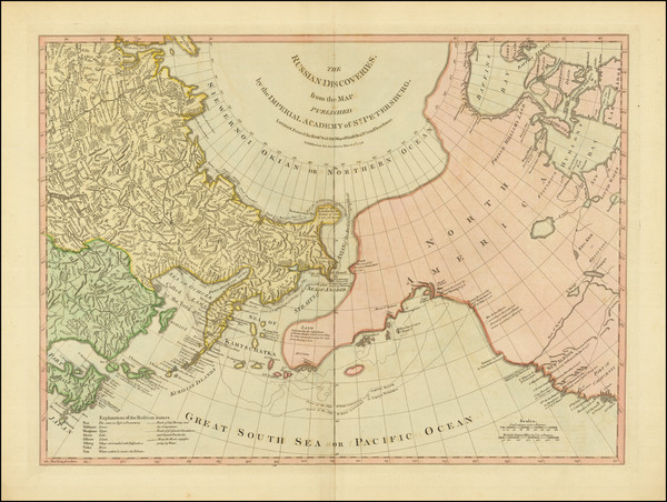
The Russian Discoveries, from the Map Published by the Imperial Academy of St. Petersburg . . . 1775
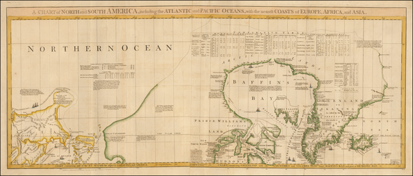
Place/Date:
London / 1775
Size:
24 x 18 inches
Condition:
VG
Stock#:
81950

Place/Date:
Paris / 1771
Size:
17 x 12 inches
Condition:
VG
Stock#:
64221
Place/Date:
Chicago / 1883
Size:
19.5 x 13 inches
Condition:
VG+
Stock#:
66258
Place/Date:
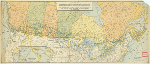
Chicago / 1912
Size:
43.5 x 18.3 inches
Condition:
Good
Stock#:
90410
Place/Date:
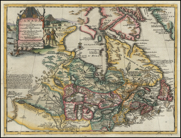
Leiden / 1714
Size:
12 x 9 inches
Condition:
VG+
Stock#:
84832
Place/Date:
Amsterdam / 1666
Size:
21.5 x 18 inches
Condition:
VG
Stock#:
93148
Place/Date:
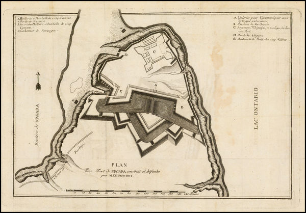
Geneva / 1781
Size:
12.5 x 8.5 inches
Condition:
VG
Stock#:
39501
Pouchot's 1781 antique map showing Canada.
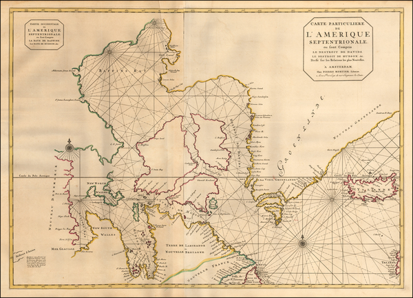
Place/Date:
Amsterdam / 1695 circa
Size:
32.5 x 23 inches
Condition:
VG
Stock#:
57076
Antique map showing Canada by Mortier, 1695.
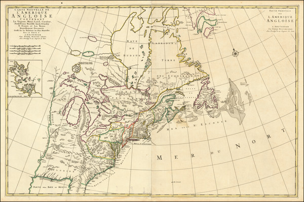
Place/Date:
Amsterdam / 1700
Size:
36 x 23.5 inches
Condition:
VG
Stock#:
99421
Place/Date:
Paris / 1670 circa
Size:
21.5 x 14 inches
Condition:
VG+
Stock#:
67805
155
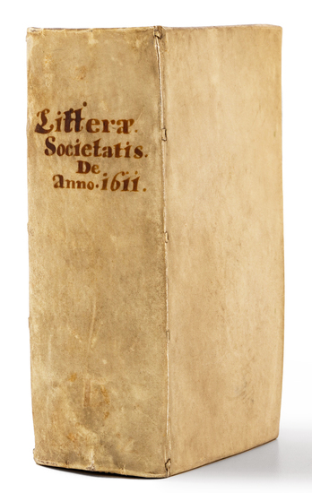
Place/Date:
Dillingen / 1611 circa -1615
Size:
3.6 x 6.6 inches
Condition:
VG
Stock#:
84352

Place/Date:
Brussels / 1825
Size:
20 x 18 inches
Condition:
VG
Stock#:
14186
Rare map showing Canada by Vandermaelen made in 1825.

Place/Date:
Brussels / 1825
Size:
20 x 18 inches
Condition:
VG
Stock#:
14187
Rare map showing Canada by Vandermaelen made in 1825.
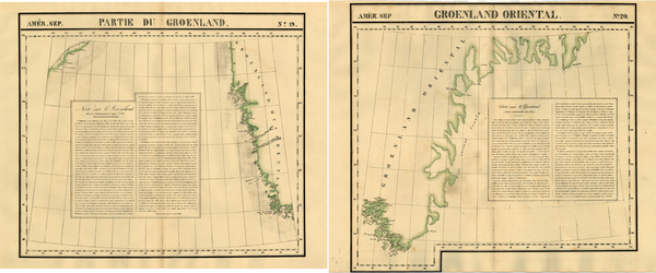
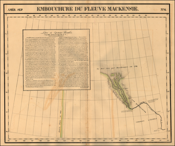
Place/Date:
Brussels / 1825
Size:
20 x 18 inches each
Condition:
VG
Stock#:
19107
Original map showing Canada by Vandermaelen made in 1825.
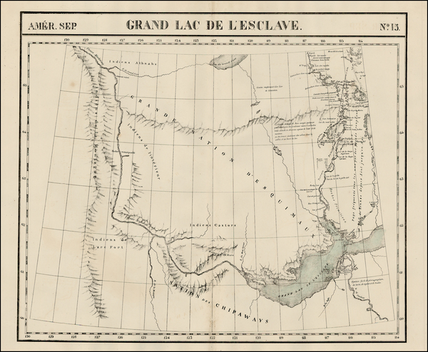
[MacKenzie River, Yukon Territory and Northwest Territory] Amer. Sep. No. 15. Grand Lac De L'Esclave
Place/Date:
Brussels / 1825
Size:
20 x 18 inches
Condition:
VG
Stock#:
19469
Vandermaelen's 1825 original map showing Canada.
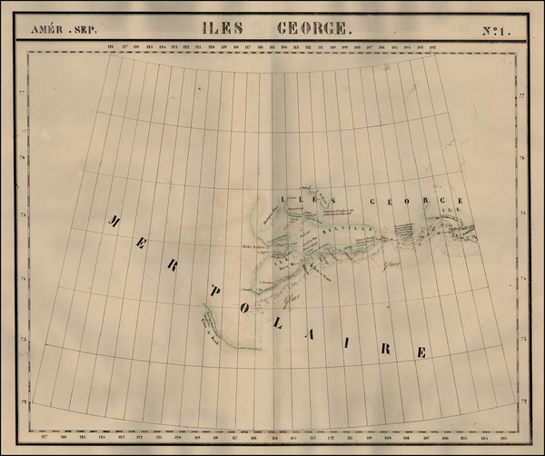
Place/Date:
Brussels / 1825
Size:
20 x 18 inches
Condition:
VG
Stock#:
19806
1825 antique Vandermaelen map showing Canada.
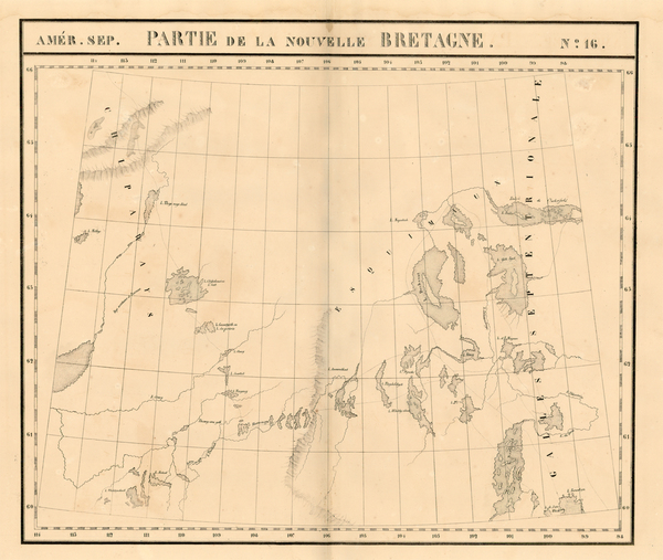
Place/Date:
Brussels / 1825
Size:
20 x 18 inches
Condition:
VG
Stock#:
19824
Vandermaelen's 1825 original map showing Canada.
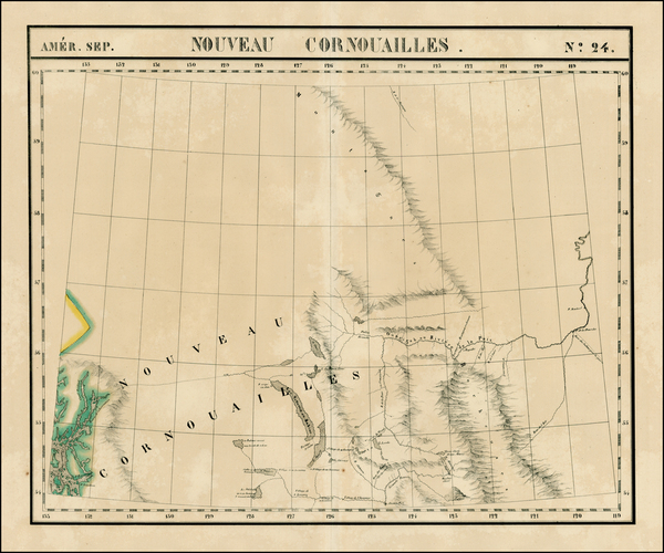
Place/Date:
Brussels / 1825
Size:
20 x 18 inches
Condition:
VG+
Stock#:
19153
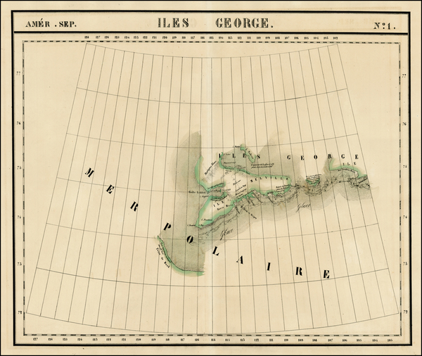
Antique map showing Canada by Vandermaelen, 1825.
Place/Date:
Brussels / 1825
Size:
20 x 18 inches
Condition:
VG+
Stock#:
1783RB
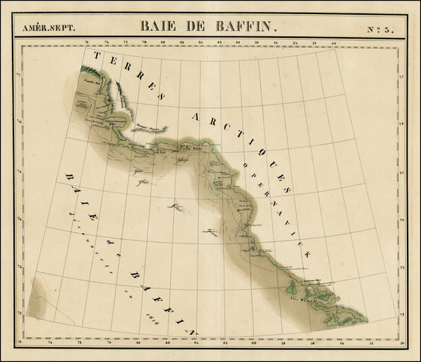
Antique map showing Canada by Vandermaelen made in 1825.
Place/Date:
Brussels / 1825
Size:
20 x 18 inches
Condition:
VG
Stock#:
1793RB
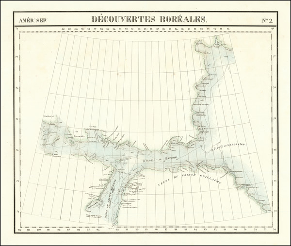
Vandermaelen's 1825 rare map showing Canada.
Place/Date:
Brussels / 1825
Size:
20 x 18 inches
Condition:
VG+
Stock#:
1795RB
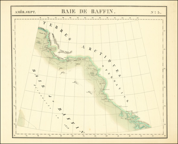
Vandermaelen's 1825 antique map showing Canada.
Place/Date:
Brussels / 1825
Size:
22.5 x 19 inches
Condition:
VG+
Stock#:
78630
Place/Date:
Brussels / 1825
Size:
23 x 19.5 inches
Condition:
VG+
Stock#:
87865
Place/Date:
Paris / 1752
Size:
25 x 18 inches
Condition:
VG+
Stock#:
74874