
Search
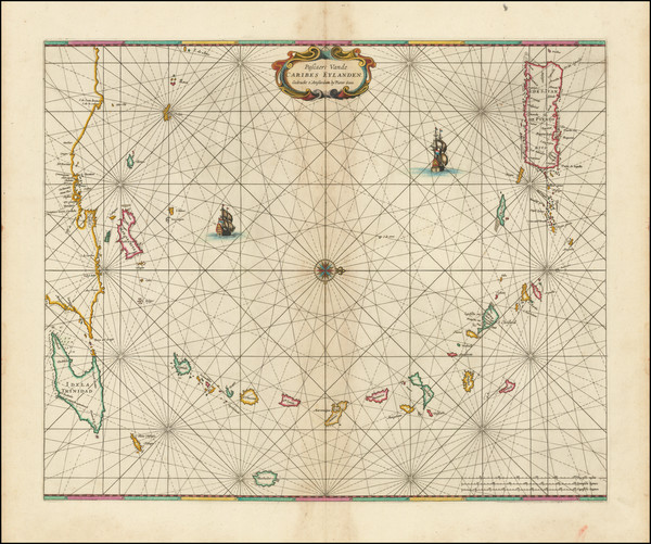
Place/Date:
Amsterdam / 1666
Size:
21.5 x 17.5 inches
Condition:
VG
Stock#:
91150
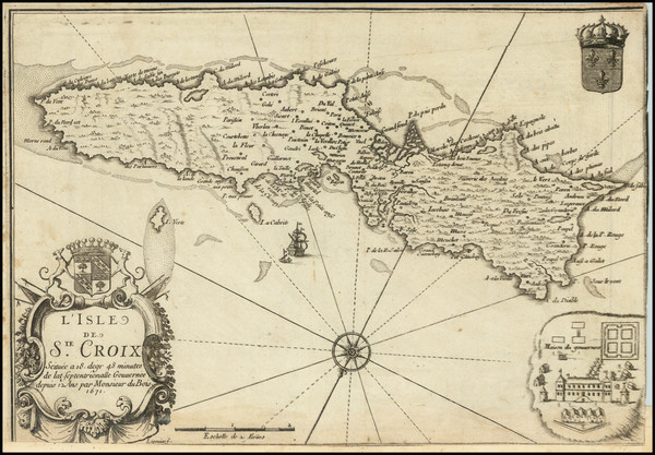
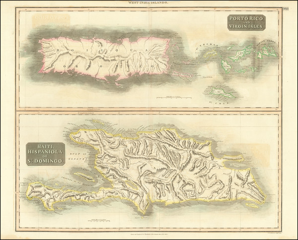
Place/Date:
Paris / 1671
Size:
12.25 x 8.5 inches
Condition:
VG
Stock#:
93247
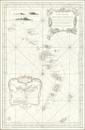
Place/Date:
Paris / 1758
Size:
22.5 x 35 inches
Condition:
VG+
Stock#:
68206
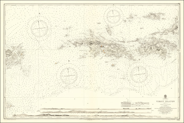
18th Century Sea Chart / Virgin Islands / Windward & Leeward Islands
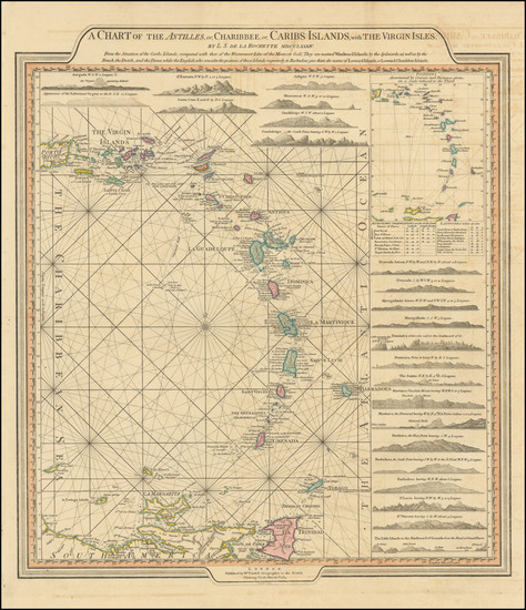
Place/Date:
London / 1784
Size:
20 x 18 inches
Condition:
Stock#:
103660
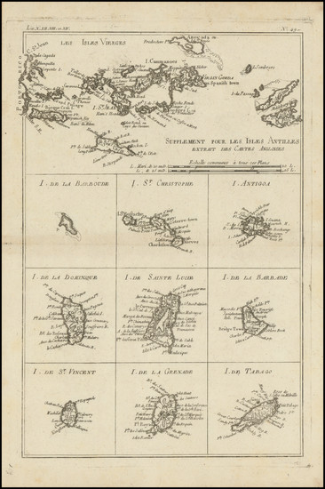
Place/Date:
Paris / 1787
Size:
9 x 12.5 inches
Condition:
VG+
Stock#:
98774
Place/Date:
Edinburgh / 1815
Size:
24 x 21 inches
Condition:
VG
Stock#:
78402
Place/Date:
Brussels / 1825
Size:
20 x 18 inches
Condition:
VG
Stock#:
42102
Vandermaelen's 1825 original map showing the Virgin Islands.
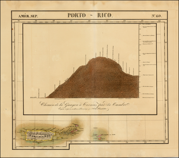
Place/Date:
London / 1831
Size:
23.25 x 15.75 inches
Condition:
VG
Stock#:
98223
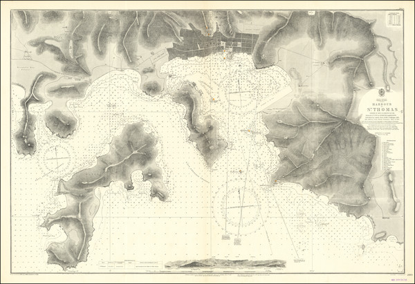
Place/Date:
London / 1853 (1927)
Size:
25.5 x 37.5 inches
Condition:
VG+
Stock#:
86322
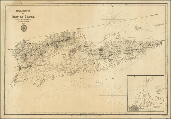
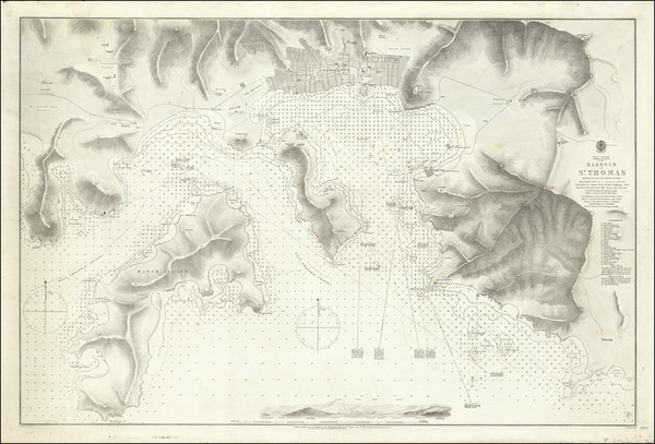
Place/Date:
Liverpool / 1854
Size:
24 x 20 inches
Condition:
VG
Stock#:
63691
Place/Date:
London / 1856 (1935)
Size:
39 x 25.5 inches
Condition:
VG+
Stock#:
68055
Place/Date:
London / 1873
Size:
37 x 24.5 inches
Condition:
VG
Stock#:
92092

Place/Date:
London / 1884
Size:
37.5 x 25.5 inches
Condition:
VG
Stock#:
82657
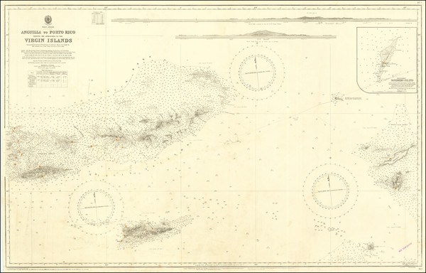
Place/Date:
London / 1927
Size:
41 x 25.5 inches
Condition:
VG
Stock#:
86323