
Search
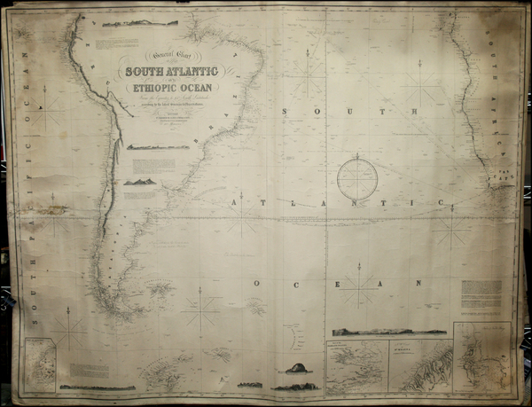
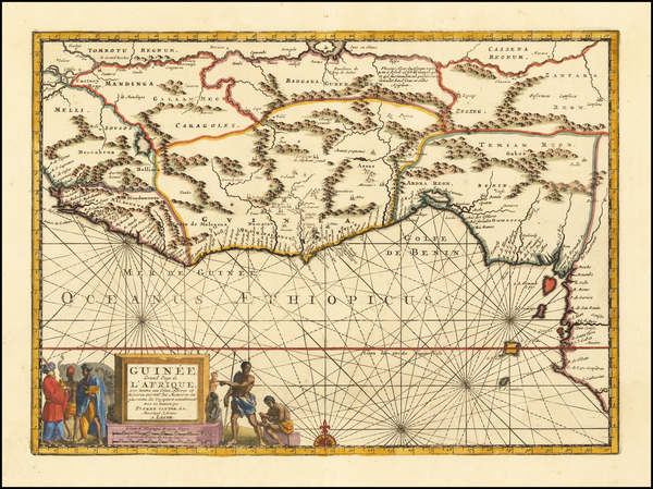
Place/Date:
London / 1852
Size:
51 x 38 inches
Condition:
VG
Stock#:
32516mb
Imray & Son's 1852 rare map showing West Africa.
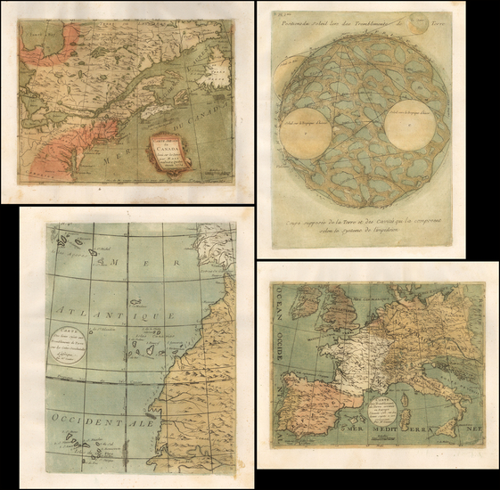
Place/Date:
Paris / 1756
Size:
13.5 x 11 inches ( Whole Sheet)
Condition:
VG
Stock#:
52293op
Gautier d'Agoty's 1756 antique map showing West Africa.
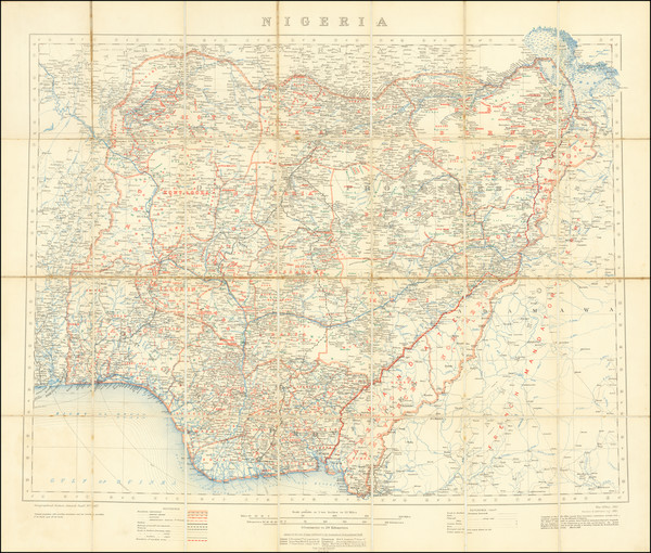
Place/Date:
London / 1910 (1921)
Size:
29.5 x 26.5 inches
Condition:
VG
Stock#:
71466
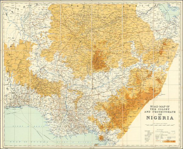
Place/Date:
Lagos, Nigeria / 1950
Size:
32 x 26 inches
Condition:
VG+
Stock#:
71435
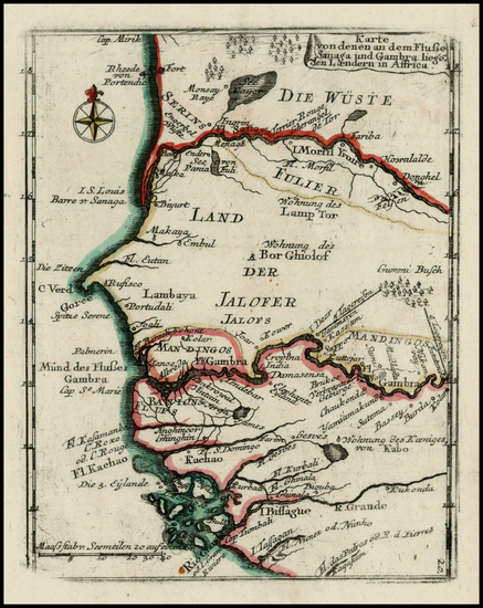
Place/Date:
Leiden / 1717
Size:
14 x 10.5 inches
Condition:
VG+
Stock#:
61920
Authentic Antique Map of West Africa / Guinea / Benin / Liberi / Cote D'Ivore / Ghana / Togo / Nigeria / Cameroon
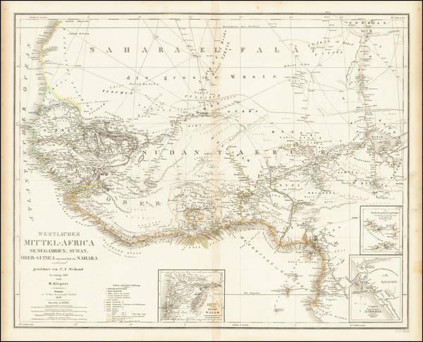
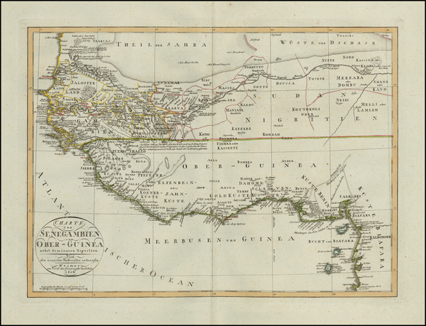
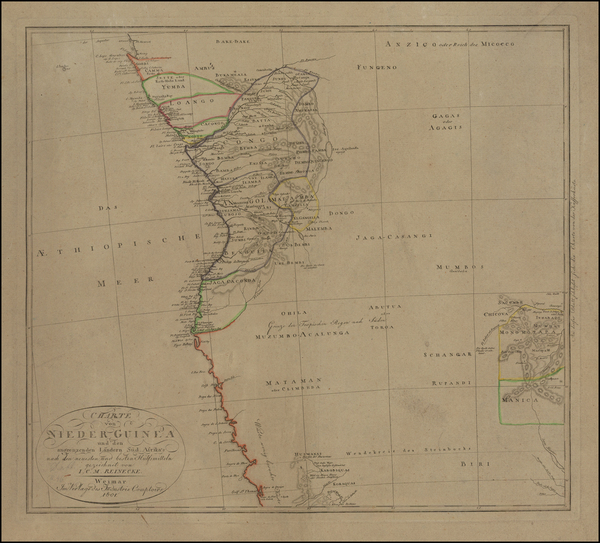
Place/Date:
Weimar / 1849
Size:
25 x 22 inches
Condition:
VG
Stock#:
69613
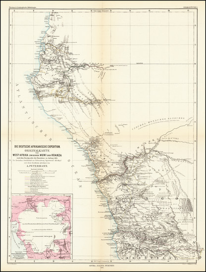
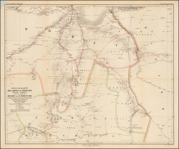
Place/Date:
Gotha / 1875
Size:
14 x 19 inches
Condition:
VG
Stock#:
66232
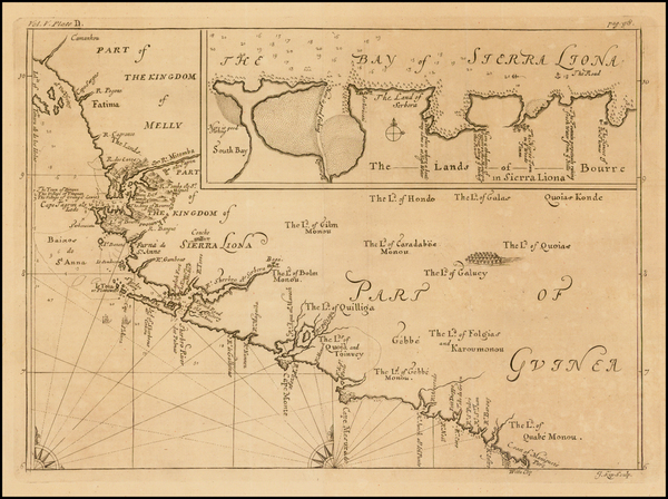
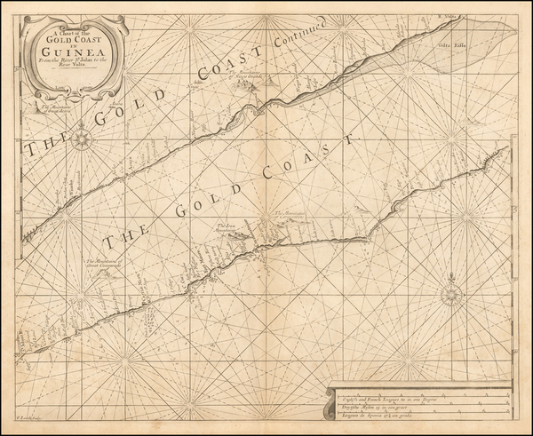
Place/Date:
London / 1732
Size:
13.5 x 9.5 inches
Condition:
VG
Stock#:
40123
Antique map showing West Africa by Kip made in 1732.
Place/Date:
Edinburgh / 1860
Size:
12.5 x 18 inches
Condition:
VG
Stock#:
59684
Original map showing West Africa by Fullarton & Co., 1860.
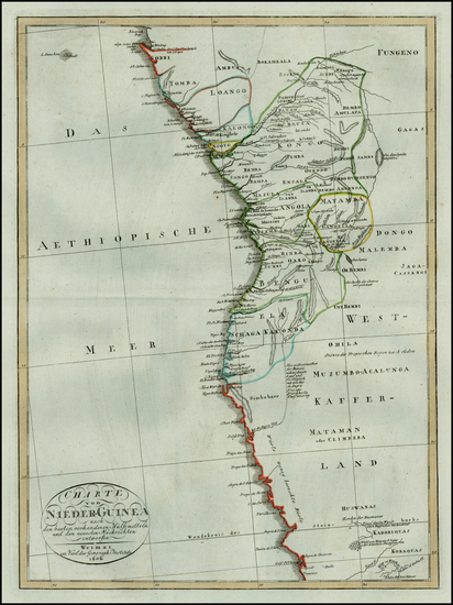
Place/Date:
Weimar / 1806
Size:
15.5 x 11 inches
Condition:
VG+
Stock#:
56164
Rare map showing West Africa by Weimar Geographische Institut made in 1806.
Place/Date:
London / 1702 circa
Size:
20.5 x 17 inches
Condition:
VG
Stock#:
54443
1702 antique Thornton map showing West Africa.
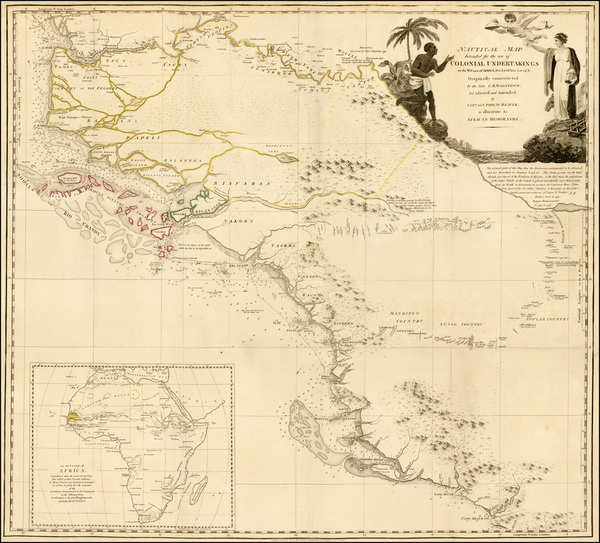
Place/Date:
London / 1805
Size:
29 x 26 inches
Condition:
VG+
Stock#:
34646
1805 original Beaver map showing West Africa.
Place/Date:
Gotha / 1872
Size:
24.5 x 20.5 inches
Condition:
VG
Stock#:
48209
Petermann's 1872 rare map showing West Africa.
Place/Date:
Weimar / 1801
Size:
17 x 18.5 inches
Condition:
VG+
Stock#:
47747
Rare map showing West Africa by Reinecke made in 1801.
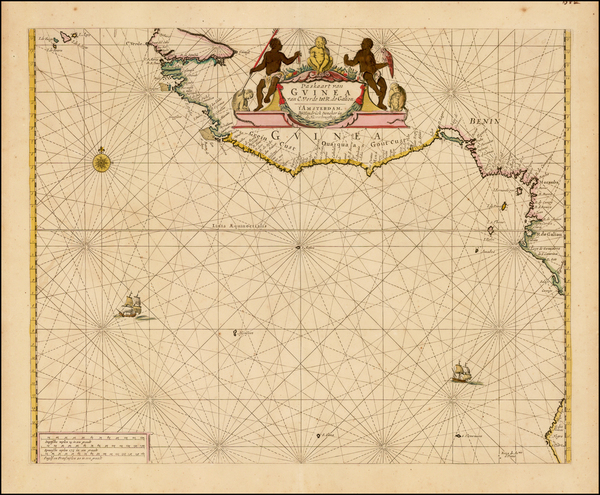
Place/Date:
Amsterdam / 1665 circa
Size:
16 x 19.5 inches
Condition:
VG+
Stock#:
38724
1665 rare Doncker map showing West Africa.
Place/Date:
Augsburg / 1760
Size:
9 x 7.5 inches
Condition:
VG+
Stock#:
27987
Original map showing West Africa by Heiden, 1760.
Place/Date:
Vienna / 1806
Size:
12 x 16 inches
Condition:
VG+
Stock#:
29477
1806 antique Weimar Geographische Institut map showing West Africa.

Place/Date:
Paris / 1757
Size:
12 x 9 inches
Condition:
VG+
Stock#:
39485
1757 antique Bellin map showing West Africa.