|
||

|

|
|

|
An Extraordinary Railroad Broadside Map
Gorgeous circa 1856 advertising broadside and map, promoting the Ohio & Pennsylvania Rail Road, surmounted by a view of Pittsburt in 1856 and an elaborate baroque masthead, capturing the spirit of early pioneer travel by rail to the western territories.
The Ohio & Pennsylvania is described as "The Only Rail Road West From Pittsburgh" and the "First Rail Road Opened Between the Eastern and Western States" carrying "A Million And A Half Of Passengers, Up to January 1, 1856."
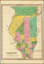
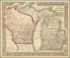
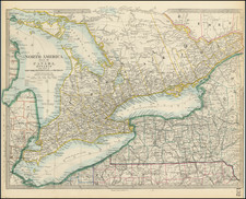
The map illustrates the lines of a number of Railroads in Red, including The Ohio & Pennsylvania Rail Road, along with a number of other railroad lines in Illinois, Indiana, Michigan, Ohio and Pennsylvania. Two distance tables show distances to Pittburg from dozens of midwestern cities.
The Ohio & Pennsylvania Rail Road (O&P RR), chartered in 1848, was constructed to link Pittsburgh, Pennsylvania, with Crestline, Ohio, connecting the Ohio River to the Great Lakes region. This rail line was instrumental in facilitating the transport of goods and passengers between the Midwest and Eastern states. It underwent expansions and technological upgrades to meet increasing demand. In 1869, the O&P RR merged into the Pennsylvania Railroad system. This integration marked the end of its independent operations but underscored its importance in the development of the American railroad network. The O&P RR contributed to the economic growth of the regions it served and reflects the broader industrial advancements of the 19th-century United States.
Rarity
The broadside is apparently a unique survival.
We were unable to find any other recorded examples.