|
||

|

|
|

|
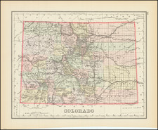
Geological Map of Colorado by the United States Geological Survey (1935)
An authoritative 1935 geologic depiction of the state of Colorado, this map provides an intricate overview of the region's geological formations, detailed with references to the constituent rocks. It is a product of a collaborative effort between the United States Geological Survey, the Colorado State Geological Survey Board, and the Colorado Metal Mining Fund.
The 1930s marked an era of significant geologic and mineral exploration across the United States. The creation of this map can be situated within a broader context of federal and state initiatives aimed at comprehensively cataloging the nation's mineral wealth and geologic heritage. Colorado, with its vast mineral reserves and intricate geologic history, stood as a focal point in this grand endeavor. The state's rich tapestry of geological formations, from the ancient Precambrian rocks to the relatively younger sedimentary layers, bears testimony to eons of tectonic movements, erosional forces, and depositional events.
In understanding the geologic history of Colorado, this map serves as an indispensable tool. It elucidates the diverse geologic formations, distinguishing them with clarity, and paints a coherent picture of the state's geological evolution. County boundaries delineated on the map further aid in situating the geologic details within a recognizable framework, aiding both the casual observer and the dedicated geologist.
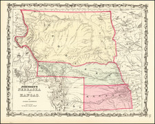
![The Mines of Colorado [with:] Map of Colorado Territory to accompany Hollisters](https://storage.googleapis.com/raremaps/img/small/100860.jpg)
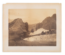
![(Colorado Photographs) [Collection of 22 Rocky Mountain Scenery cabinet cards, including views of Denver, Georgetown, railroads, mining relating scenes and more]](https://storage.googleapis.com/raremaps/img/small/93382.jpg)