|
||

|

|
|

|
Florence at the Beginning of the 20th Century
Finely executed chromolithographic view of Florence, published in the beginning of the 20th Century.
Centered on the Arno River and the Palazzo Vecchio, the view is taken from the Pizzale Vittorio Veneto, formerly known as Piazzale degli Zuavi.
The view is embellished with vignettes of the most noteworthy buildings and monuments, likely intended for tourists and visitors. The map shows electrified tram routes in red solid lines and red dashed lines to show automobile routes in the urban center. Similar stylistic maps have been crafted for other major European cities including Paris, London, Rome, and Madrid.
The map was published in Florence by the Società Editrica Florentina circa 1910. The depiction of the tramways, which were first electrified in 1898, combined with the scarce 'Servizio Automobili' roads, implies a publication date between 1900 and 1910—coinciding with the burgeoning popularity of automobiles in Northern Italy.
Rarity
We locate two examples, one at the Leventhal Map Center of the Boston Public Library and the other at the Sächsische Landesbibliothek - Staats- und Universitätsbibliothek in Dresden.
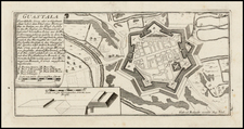
![[Vercelli] Urbis Vercellensis a Carolo Emmanuele II](https://storage.googleapis.com/raremaps/img/small/89098.jpg)
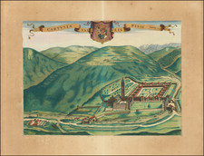
![[Fossano] Delinea Civitatis Fossani In Principatu Pedemontii](https://storage.googleapis.com/raremaps/img/small/59445.jpg)