|
||

|

|
|

|
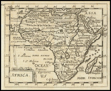
Striking map of Africa, which started to appear in the second edition of John Harris's Navigantium (1744-48), a compilation of writings of world voyages, from Hakluyt to contemporary travelers such as John Chardin, first published in 1705. This map appeared in the first volume, after an excerpt of François Pyrard de Laval's voyage to the East Indies, and is finished with a decorative cartouche and compass rose.
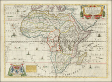
Bowen made a few changes to his 1747 map of Africa, among these is the addition of arrows depicting the trade winds in the oceans around the map. Additionally, he removed the slender rendering of a proto-Lake Malawi and the River Ghir in Barbary flows into a much smaller lake. In West Africa, the Senegal River flows through a large Guarda Lake, which contains an island.
Emanuel Bowen (1694?-1767) was a British engraver and print seller. He was most well-known for his atlases and county maps. Although he died in poverty, he was widely acknowledged for his expertise and was appointed as mapmaker to both George II of England and Louis XV of France. His business was carried on by his son, Thomas Bowen. He also trained many apprentices, two of whom became prominent mapmakers, Thomas Kitchin and Thomas Jeffreys.
![[Democratic Republic of the Congo] Congo Belge](https://storage.googleapis.com/raremaps/img/small/77991.jpg)