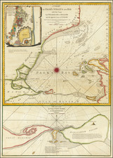
|
||

|

|
|

|
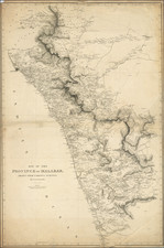
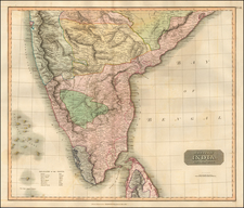
Detailed map of India, published by J & C Walker in London.
The present is outlined in blue and overstamped in red with the names of larger regions, including:
- Delhi
- Bijapur
- Heiderabad
- Aurungabad
- Berar
- Orissa
- Bengal
- Behar
- Ailahabad
- Oud
- Candesh
- Malwa
- Ajmir
- Agra
J. & C. Walker was the imprint used by the Walker family of engravers and printers. They produced numerous high-quality geographical maps and nautical charts for a variety of institutions in the nineteenth century. John Walker (1787-1873) held the position of Hydrographer to the East India Company, a position also held by his father and namesake. John worked in partnership with his brothers, Charles and Alexander. The brothers published over 200 maps for the Society for the Diffusion of Useful Knowledge. They produced maps for James Horsburgh and the Admiralty, as well as the influential Indian Atlas.