


|
||

|

|
|

|
Franco-Era Govermental Map
A nice map of the Anso region of Spain produced in 1954 by the Geographic and Cadastral Institute of Spain. This map was likely produced for administrative use and contains a robust amount of detail for the region's topography, infrastructure, and terrain (such as if an area is forested, plains, developed, etc.). The roads, rivers, and electric lines that connect the region are illustrated as well.
The map features demographic data for Anso. This is seen in the key which has a section dedicated to "Labor." Presumably, this section shows population centers and areas that could be mobilized to provide support in crisis. The chart's representation of this data reflects the administrative capacity this map was created for.
The Dirección General del Instituto Geográfico y Catastral, or the General Directorate of the Geographic and Cadastral Institute, has been a cornerstone in Spanish geography and cartography since its inception in the 19th century.
Established by a Royal Decree on September 12, 1870, the Geographical Institute was initially part of the General Directorate of Statistics within the Ministry of Public Works. This formation integrated the collection of numerical information under the umbrella of statistics.
However, during the First Republic in 1873, the General Directorate of Statistics was abolished. In its place, the General Directorate of the Geographical and Statistical Institute was formed, still under the Ministry of Public Works. The organization's responsibilities grew over the years, assuming control of the Weights and Measures Service in 1878 and the Madrid Astronomical and Meteorological Observatory in 1904.
Further significant evolution occurred in 1925 when it incorporated the rustic cadastre from the Ministry of Finance, leading to a change in its name to the General Directorate of the Geographical and Cadastral Institute. This change marked the birth of the Geographical, Cadastral, and Statistical Institute.
In 1935, the Institute underwent another transformation, ceasing to be a General Directorate and being recategorized as a national center of a scientific and cultural nature under the Ministry of Public Instruction and Fine Arts. This move acknowledged its educational significance.
During the Spanish Civil War, different organizational arrangements were made, such as the creation of the Union Statistics Service. Finally, in 1939, the Law of August 8 formed the General Directorate of the Geographic and Cadastral Institute within the Presidency of the Government. Further reorganization happened in 1946 with the establishment of the National Institute of Statistics.
Over the decades, the Institute has adapted and expanded its roles, proving its enduring importance in Spain's geographical and statistical landscape.
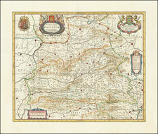
![[ Galicia ] Gallaecia Regnum descripta a F.Fer. Oja Ord Pred.](https://storage.googleapis.com/raremaps/img/small/79693.jpg)
![(Iberian Peninsula) Hispaniae et Portugalliae Maritimi Tractus Pascaert van Spangie, en Portugal [Sea Chart of the Coastal Areas of Spain and Portugal]](https://storage.googleapis.com/raremaps/img/small/93876.jpg)

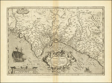
![[Andalusia] Andaluzia continens Sevillam et Cordubam](https://storage.googleapis.com/raremaps/img/small/84573.jpg)