


|
||

|

|
|

|
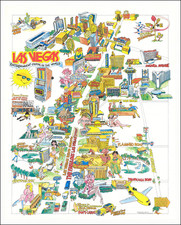
The Genesis of Sin City
This Map of Las Vegas, Nevada created in 1947, with topography by Marc Wilkinson, provides a fascinating snapshot of Las Vegas at a key point in its history. In the post-war years, the city was undergoing a period of rapid growth and development. This early map of Las Vegas and the emerging Strip is a valuable historical document that captures this transformative era.
The map provides a detailed depiction of Las Vegas, printed in red and black. The layout of the streets and the locations of key landmarks are clearly marked. Notably, it features some of the early hotels and casinos that have since become iconic, including the Kit Carson Motel, Club Bingo, Hotel Last Frontier, Sal Sagev Hotel, The Popular Las Vegas Club, and the Monte Carlo Club.
A comprehensive write-up accompanies the map, providing demographic data, climatic information, details about transportation options, and descriptions of the city's attractions. This information paints a vivid picture of Las Vegas in 1947 as a bustling city with fine resort hotels and casinos, excellent services, and a liberal, welcoming attitude. It also highlights the area's stunning natural beauty, including nearby mountain ranges and the ever-popular Mount Charleston.
The verso of the map offers practical information on how to reach Las Vegas from various points in the Southwest, making it a useful tool for tourists and newcomers to the city. Overall, this early map of Las Vegas serves as both a valuable historical document and a vibrant, engaging guide to the city.
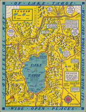
![[California and Nevada] (Names Bigler Lake or Tahoe)](https://storage.googleapis.com/raremaps/img/small/94197.jpg)