|
||

|

|
|

|
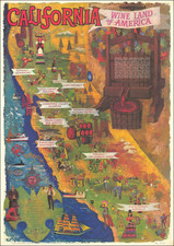
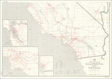
A Map of California With Descriptive Notes was created by the National Geographic Society in 1954. It presents a detailed view of California's geography and infrastructure during the mid-20th century.
The map provides an array of information about California, showcasing major geographical features, infrastructural elements such as railways, roads, tunnels, and airports, as well as the locations of Gold Rush towns and mountain passes. The identification of county seats adds to the map's portrayal of California's administrative divisions.
This map includes five inset maps that detail Los Angeles, San Francisco, San Diego, the San Francisco Bay Region, and the Yosemite Valley in Yosemite National Park. These insets offer an in-depth look at key areas in California, reinforcing the map's overall comprehensiveness.
A Map of California With Descriptive Notes is a representation of California in a period of significant growth following World War II. It captures the state's geographical and infrastructural changes in a time of prosperity, serving as a useful historical reference for this era of California's development.
![Southeastern Portion of California [San Diego, San Bernardino and Inyo Counties]](https://storage.googleapis.com/raremaps/img/small/83750.jpg)