|
||

|

|
|

|
Fantastic (and gargantuan) map of the Irvine, Ashley, and Torrent oil fields in central Kentucky.
Published at the start of the 20th, during the great boom and bust cycles of early oil exploration, this map shows a petroleum play some thirty miles long in intricate detail. The map shows each individual landowner and the location of every well drilled in the area. The map stretches from Irvine and Ravenna in the southwest through to Campton in the northeast, and limits its scope to the region being exploited.
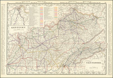
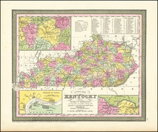
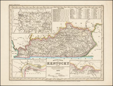
During the early 20th century, Kentucky was a significant player in the United States oil industry, ranking within the top five or ten producing states most years. The eastern and south-central regions of Kentucky were home to many oil fields, including the Irvine, Ashley, and Torrent fields. The industry saw significant growth, particularly during World War I when the demand for oil spiked to support the war effort. Technological innovations, improved transportation, and infrastructure also contributed to the growth of the oil industry in Kentucky.
Oil was first discovered in Irvine in 1878, well before any exploitation. However, a well sunk in 1915 on Tick Fork led to the beginnings of an oil rush in the area. By November 1916, 550 wells in the area were produced 5,000 barrels a day. Growth continued after that, with 1917 appearing to be the peak year of interest in the oil field.
The map includes numerous annotations from an early owner locating the sites of additional wells and changes in ownership.
The map is recorded as having been entered into the Library of Congress in 1917, providing a date consistent with the style and the early provenance.
Rarity
Very Rare. Not in OCLC nor RBH.
Provenance
- J. H. McClurkin, his address in manuscript. McClurkin was an early promoter active in the region. He is recorded as having published an extensive article in a 1917 edition of The Oil and Gas Journal extolling the geology and oil wealth of the irvine region. In 1918, he published a similar, if shorter, article in the National Petroleum News. He also invested in the small "Republic Oil Company" (possibly his own company) in 1917.
- Clarke Stein. This resident of Mt. Carmel, Ill, seemed to be rather young when he obtained this map and embellished it with his depictions of people and his observation that "gas well toots."
![[ Middle British Colonies Map ] Pensilvania Maryland and Virginia](https://storage.googleapis.com/raremaps/img/small/98228.jpg)