


|
||

|

|
|

|
Stock# 76659
Description
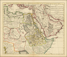
Fantastic, large folding map of the Middle East focusing on Mesopotamia, focusing on the relationship between ancient history and the modern geography of the region.
The map was published in London in 1910 by the Royal Geographical Society.
The map indicates the "Position of Principal Assyrian Rock-cut Inscriptions" with a red cross. It also shows the Jordan Depression, and ancient canals (now dry), as wells as modern features such as telegraph lines and railways.
The names of ancient kingdoms and cities are printed in red and overlaid on modern geography.
As with many maps of the Middle East from this time, there is a concise translation of toponyms from Arabic to English in the bottom margin.
Condition Description
Dissected and mounted on original linen.
![Turcia Turci Cive Imperii seu Solij mannorum regni pleraque pars nunc recens Summa fide ac indusrai elucubrata | Natoliam Moderni dicunt tam partem quam Asiam minrem appelauere veteres. [shows Cyprus]](https://storage.googleapis.com/raremaps/img/small/86757.jpg)
![Turkey in Asia [with Cyprus]](https://storage.googleapis.com/raremaps/img/small/59273.jpg)