


|
||

|

|
|

|
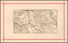
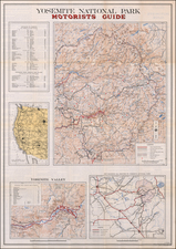
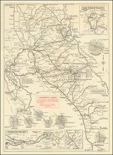
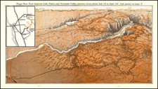
Vintage tourist map of the roads one could take to get to Yosemite.
Detailed road map showing central California as far south as Bakersfield, west to San Francisco, and north to Corning. The focus of the map is on the roads that could bring one from the major cities shown to Yosemite National Park. The map also includes insets of Lake Tahoe and vicinity, Yosemite Valley, and southern California. Interestingly, there are insets of the best ways to exit metropolitan areas on the way to Yosemite - these include Stockton, Modesto, Merced, Madera, Fresno, Bakersfield, and Sacramento.
The map was issued in 1922, just as car-based vacationing was beginning to take hold in the United States.
The map was published by Carl A. Bundy Quill and Press, of Los Angeles, on behalf of the Yosemite Lodge, Yosemite National Park.
![A Hysterical Map Of Yosemite National Park Shown Through the Courtesy of Mother Nature Productions [with envelope]](https://storage.googleapis.com/raremaps/img/small/96648.jpg)