|
||

|

|
|

|
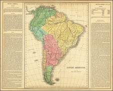
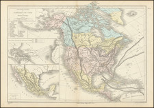
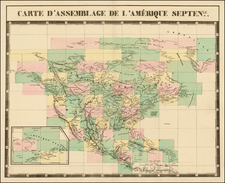
Rare Belgian map of North America and South America side by side, embellished with 18 Vignettes and Indian Portraits. The cartographical information on the map suggests that the maps were engraved in the mid 1830s, showing Mexico after its Independence from Spain, a 54 40 or fight border for Oregon Territory, double wide Arkansas, and Indian and Western information from the 1830s. The vignettes include 3 Indians, fur trading in Canada, slave trading, a buffalo scene, an eskimo scene, bears, etc. The most telltale vignettes for dating purposes are the Suspension Bridge across the Niagara Falls (then a major architectural milestone) and the Petroleum producing regions of Pennsylvania, which place the map 1859 or after. The map is a two sheet lithograph, laid on linen. From a collecting standpoint, the map is a gem for a number of reasons, including scarcity, the decorative qualities and the oddity of a wall map published in Brussells. We have found no record of this map. A marvelous exotic mid-19th Century map.