|
||

|

|
|

|
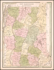
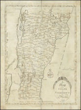
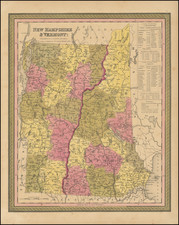
A Separately Published Vermont Rarity
Rare separately published large format map of Vermont, published in New York by GW & CB Colton.
Shows towns, counties, roads, railroads, mountains and waterways.
Includes a large inset map of the Railroads of New England.
Rarity
OCLC locates an 1863 and 1864 edition of the map.
We note a single auction record in 2007 (1876 edition).
G. W. & C. B. Colton was a prominent family firm of mapmakers who were leaders in the American map trade in the nineteenth century. The business was founded by Joseph Hutchins Colton (1800-1893) who bought copyrights to existing maps and oversaw their production. By the 1850s, their output had expanded to include original maps, guidebooks, atlases, and railroad maps. Joseph was succeeded by his sons, George Woolworth (1827-1901) and Charles B. Colton (1831-1916). The firm was renamed G. W. & C. B. Colton as a result. George is thought responsible for their best-known work, the General Atlas, originally published under that title in 1857. In 1898, the brothers merged their business and the firm became Colton, Ohman, & Co., which operated until 1901, when August R. Ohman took on the business alone and dropped the Colton name.
![Vermont [with rare Tanner pricelist]](https://storage.googleapis.com/raremaps/img/small/93209.jpg)
![[ Battle of Saratoga ] Plan of the Position which the Army under Lt. Gen. Burgoine took at Saratoga on the 10th of September 1777 and in which it remained till the Convention was signed.](https://storage.googleapis.com/raremaps/img/small/101239.jpg)