This item has been sold, but you can enter your email address to be notified if another example becomes available.

Stock# 1903
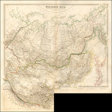
Description
A highly detailed map of the Region East of the Black Sea, extending East to the borders with India. The map is a study in long since lost countries, including the Southern Russian republics around the Aral Sea, Kazikstan and Uzbek. The map shows marvelous detail in these regions, which rarely receive treatment in atlas maps of this period. A key showns the various regions controled by Iran and Turan.