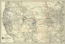
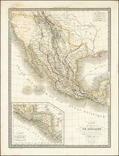
|
||

|

|
|

|
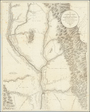
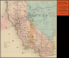
Attractive and highly detailed map of California and Nevada, hand colored by counties. Shows early roads, Indian Tribes, forts, railroad lines, mines, springs, mountains, rivers, elevations etc. This map is a derivative of the rare Rogers & Johnston wall map of the United States and Rogers & Johnstons' Atlas of the United States, both first published in 1857. The map, with additions, was used by Rogers & Johnston and Stanford, in works published in London & Edinburgh for the next 16 years, before finally migrating across the Atlantic and being incorporated in J.David Williams' People's Pictorial Atlas in 1873. The maps were also used by Jones and HH Hardesty, among others, in various derivative forms. A little known and under appreciated gem.