|
||

|

|
|

|
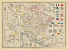
This is a very close engraved copy, probably done abut 1819 or slightly later, of Pierre Lapie's atlas map of North America that was first published in 1810.
The easiest way to tell the difference between this and the earlier plates is the change in credit from "Adam et Giraldon dirext." to "Chamoüin".
Curiously, although this version improves most of the terrestrial cartography from what appears in the later edition of the original plate (see the 1816 edition), the Arctic geography takes a retrograde and fantastical turn, reintroducing theories of interior seas and archipelagos that predominated in France before Cook's Third Voyage.
Dating
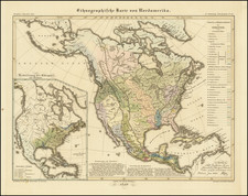
The map has a fixed southern Oregon border with Mexico following the Adams-Onis Treaty. Arkansas Territory (1819) has been carved off from Missouri Territory. Alabama is separate from Mississippi (1817 as a Territory, and 1819 for Statehood).
![[ First Map to Name The United States ] L'Amerique septentrionale ou se remarquent les Etats Unis . . . 1779](https://storage.googleapis.com/raremaps/img/small/94192.jpg)