|
||

|

|
|

|
Nice example of the Scottish Royal Geographical Society's orographical map of Edinburgh, published by by J.G. Bartholomew, Fellow of the Royal Geographical Society, in 1902.
Designed to Mr. Richardson's paper on "The Physiography of Edinburgh," the map illustrates the intricate topography and urban structure of Scotland's capital.
The early 20th century marked an era of significant advancement in the field of geography and cartography. During this period, Edinburgh was transforming rapidly, evolving from its historic roots into a modern urban center. The map's creation was synchronized with a burgeoning interest in the natural sciences and geography, especially within academic circles like the Scottish Royal Geographical Society. Bartholomew's work exemplifies the period's heightened interest in detailed topographical studies, reflecting the contemporary desire to understand the geological and geographical complexities of urban environments.
This orographical plan distinguishes itself through its detailed representation of elevation and urban layouts, employing a meticulous color gradient to denote varying altitudes, from the sea level up to 800 feet. Edinburgh's unique topographical features, such as Arthur's Seat and the Castle Rock, are depicted with remarkable precision, providing valuable insights into the city's geological foundation. The inclusion of urban elements, such as roads, railways, and buildings, offers a comprehensive snapshot of Edinburgh at the dawn of the 20th century, making it an indispensable resource for historians and cartographers alike.
The map was published to illustrate Ralph Richardson's The Physiography of Edinburgh . . . which appeared the Scottish Geographical Magazine in 1902 (pp 337-357).
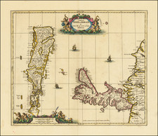
![[Southern Scotland] Des Konigreichs Scotland sudlicher Theil Nro. 87](https://storage.googleapis.com/raremaps/img/small/83654.jpg)
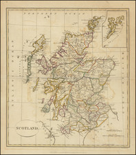
![[ Scotland ] North Britain or Scotland Divided into its Counties Corrected from the best Surveys . . .](https://storage.googleapis.com/raremaps/img/small/102877.jpg)