This item has been sold, but you can enter your email address to be notified if another example becomes available.


|
||

|

|
|

|
Stock# 0158
Description
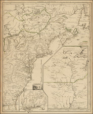
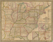
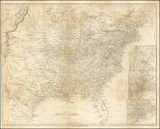
Scarce map of the US and Canada, exhibiting unusual territorial borders in the West and excellent detail throughout the map. Upper California is truncated in the South by Nouveau Mexique, but there is no sign of Utah Territory, a very strange anomaly since New Mexico and Utah both became territories and began appearing on maps in 1850. A large Northwest Territory is shown east of the Rocky Mtns and below Canada, predating the appearance of Nebraska Territory in the same region. A very odd misprojected early version of Indian Territory sits atop an equally oddly shapped Texas. Includes towns, roads, mountains, rivers, Indian Tribes, Spanish Missions and a nice post-Fremont delineation of the west. Interesting Western Territorial borders.
![[ Cabo San Lucas, Southern Baja ] Delineatio Nova Et Vera Partis Australis Novi Mexici, cum Australi Parte Insulae Californiae Saeculo Priori ab Hispnis Detectae.](https://storage.googleapis.com/raremaps/img/small/95666.jpg)