
Search
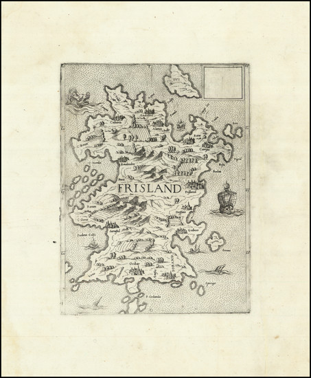
Place/Date:
Venice / 1560
Size:
7.5 x 10 inches
Condition:
VG+
Stock#:
96993
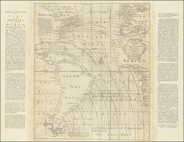
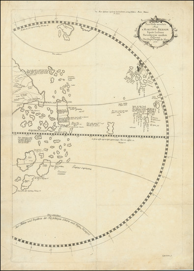
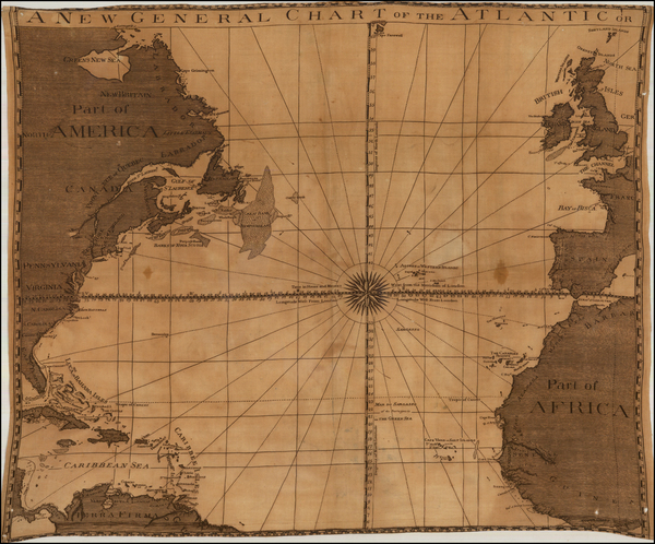
Place/Date:
London / 1763 circa
Size:
29.25 x 22.75 inches (including marginal text blocks)
Condition:
VG+
Stock#:
98400
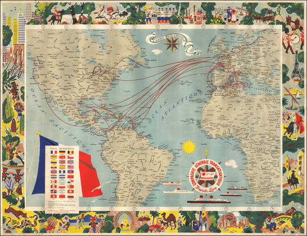
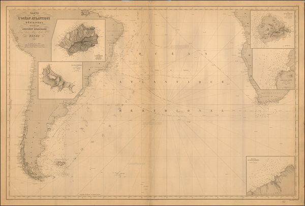
Place/Date:
Paris / 1959
Size:
38.5 x 29.5 inches
Condition:
VG
Stock#:
55920
Collin's 1959 original map showing the Atlantic Ocean.
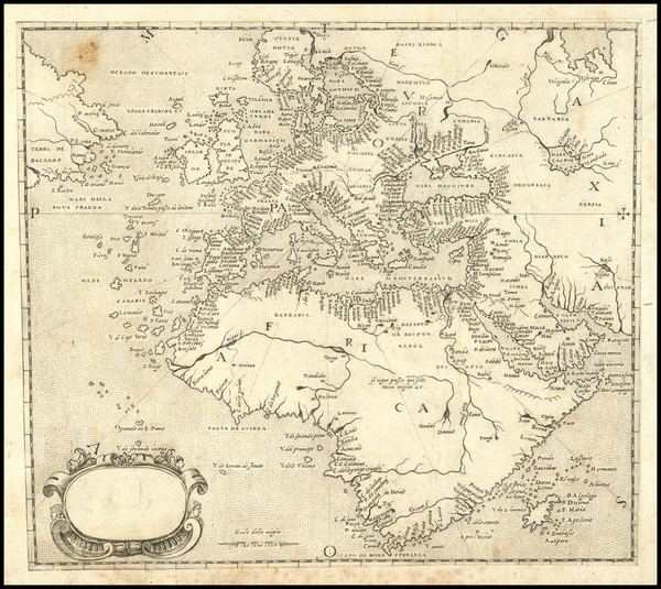
Place/Date:
Padua (Venice?) / 1570 (circa 1575)
Size:
8 x 7 inches
Condition:
VG
Stock#:
89582
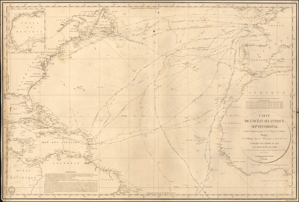
Place/Date:
Paris / 1834
Size:
34.5 x 23 inches
Condition:
VG
Stock#:
55742
1834 rare Depot de la Marine map showing the Atlantic Ocean.
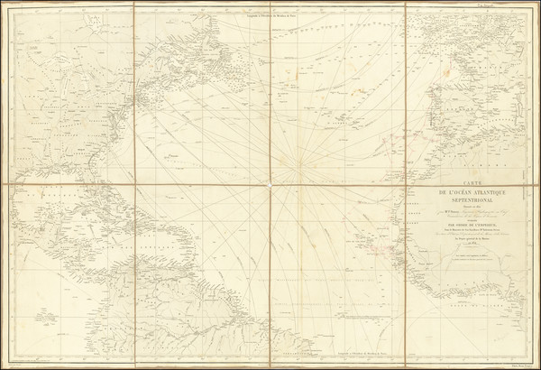
Place/Date:
Paris / 1854
Size:
36 x 24.5 inches
Condition:
VG
Stock#:
73192rd
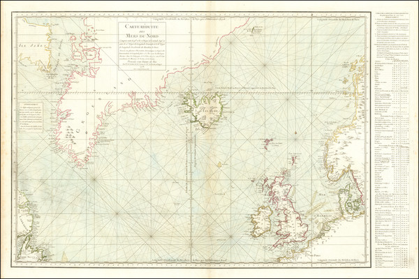
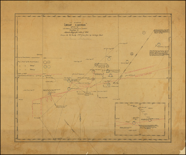
Place/Date:
Paris / 1776
Size:
35 x 22.5 inches Including Text
Condition:
VG
Stock#:
79970
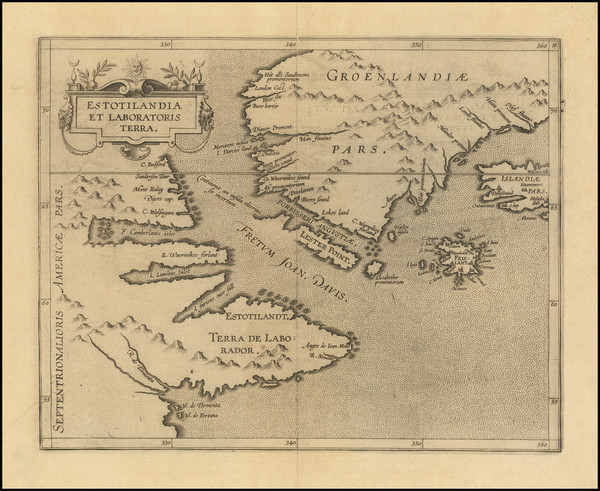
Place/Date:
Louvain / 1597
Size:
11.5 x 9 inches
Condition:
VG
Stock#:
72220
Wytfliet's 1597 original map showing the Atlantic Ocean.
Place/Date:
Gotha / 1778
Size:
16 x 23 inches
Condition:
VG
Stock#:
89803
Place/Date:
n.p. / 1866
Size:
16.5 x 13.5 inches
Condition:
VG
Stock#:
81736
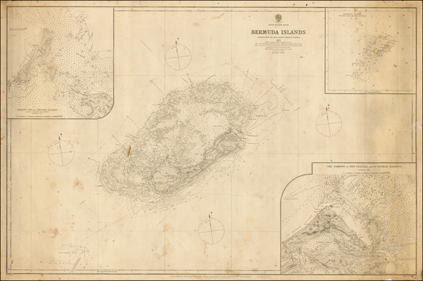
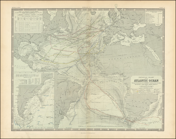
Place/Date:
London / 1881
Size:
39.5 x 26 inches
Condition:
VG
Stock#:
41592
1881 antique British Admiralty map showing the Atlantic Ocean.
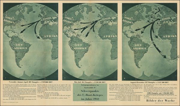
Place/Date:
Berlin / 1943
Size:
39 x 22 inches
Condition:
VG+
Stock#:
90936mj
Place/Date:
n.p. / 1780 circa ?
Size:
25 x 21 inches
Condition:
VG
Stock#:
47973
Rare map showing the Atlantic Ocean by Anonymous made in 1780.
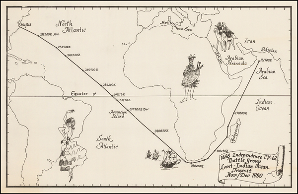
Place/Date:
n.p. / 1980
Size:
17.5 x 11 inches
Condition:
VG+
Stock#:
48963
Anonymous's 1980 rare map showing the Atlantic Ocean.
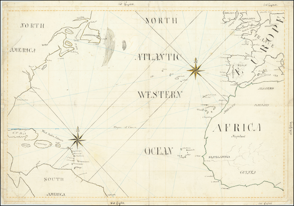
Place/Date:
n.p. / 1810 circa
Size:
28 x 19 inches
Condition:
VG
Stock#:
65187
Place/Date:
Guernsey, UK / 1798 (June 24)
Size:
28 x 32 inches
Condition:
VG
Stock#:
100233
Place/Date:
Edinburgh & London / 1856
Size:
23.25 x 18.9 inches
Condition:
VG
Stock#:
97151
Place/Date:
Paris / 1868
Size:
40 x 26.5 inches
Condition:
Good
Stock#:
57868
1868 rare Robiquet map showing the Atlantic Ocean.
Place/Date:
/ 1601
Size:
4 x 3 inches
Condition:
VG
Stock#:
76123
Place/Date:
Antwerp / 1574
Size:
19.5 x 14.5 inches
Condition:
VG
Stock#:
86119