
Search
Place/Date:
London / 1776
Size:
19 x 26 inches
Condition:
VG+
Stock#:
96293
Place/Date:
[New York] / 1773
Size:
17.25 x 9.5 inches Map size
Condition:
VG
Stock#:
93927
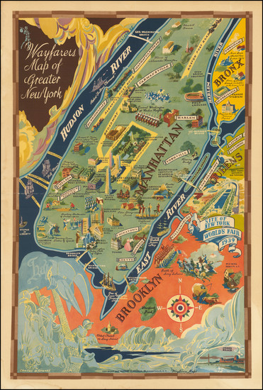
Place/Date:
Pleasantville, NY / 1939
Size:
15 x 23.25 inches
Condition:
VG
Stock#:
98529

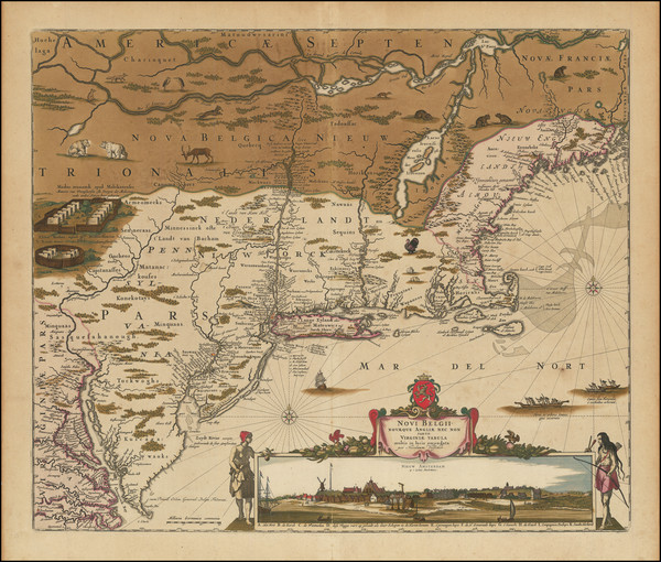
Place/Date:
Amsterdam / 1702
Size:
23 x 20.5 inches
Condition:
VG
Stock#:
33948mb
Early Sea Chart of Manhattan, Long Island, Nantucket, Martha's Vineyard, Block Island, Hudson River, New England
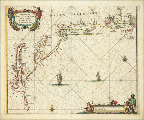
Place/Date:
Amsterdam / 1666
Size:
21 x 17 inches
Condition:
VG
Stock#:
66883op

Place/Date:
Amsterdam / 1651 (1660 ca)
Size:
20.5 x 17.5 inches
Condition:
VG
Stock#:
66922
Jansson's 1651 antique map showing New York State.
Place/Date:
London / 1776
Size:
21.5 x 31.5 inches
Condition:
VG
Stock#:
94754
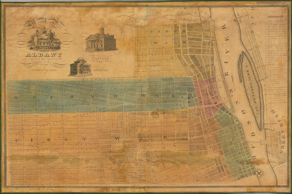
Place/Date:
Albany / 1838
Size:
39.5 x 25 inches
Condition:
Good
Stock#:
99799
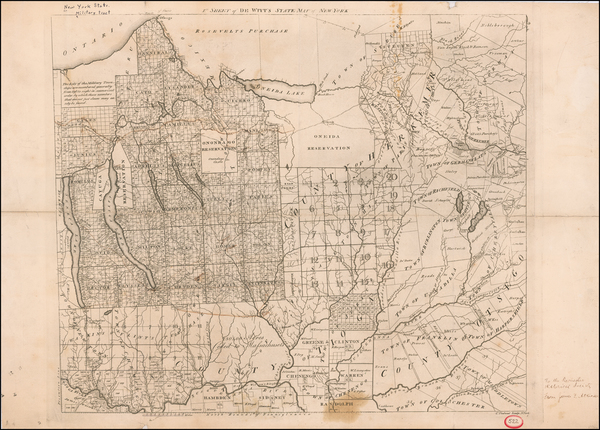
Place/Date:
New York / 1793
Size:
22.5 x 20 inches
Condition:
VG
Stock#:
59182
Original map showing New York State by De Witt, 1793.
Place/Date:
Amsterdam / 1656 (1684)
Size:
22 x 18.5 inches
Condition:
VG
Stock#:
85388
Place/Date:
New York / 1803
Size:
19 x 15.5 inches
Condition:
Good
Stock#:
58039
Rare map showing New York State by Maverick / Mangin, 1803.
Place/Date:
Amsterdam / 1680 circa
Size:
21 x 18.25 inches
Condition:
VG
Stock#:
91239
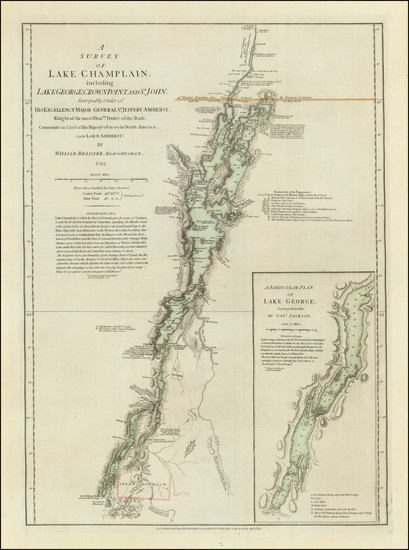
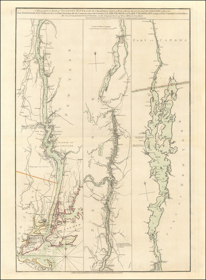
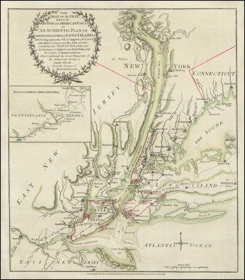
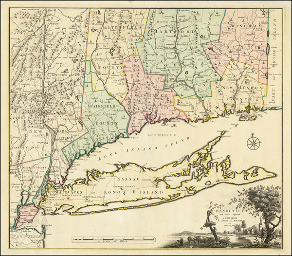
Place/Date:
London / 1777
Size:
19.5 x 28.5 inches
Condition:
VG
Stock#:
94340
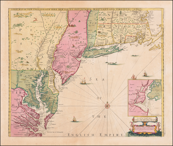
Place/Date:
London / 1733
Size:
24.5 x 40.5 inches
Condition:
VG+
Stock#:
101277
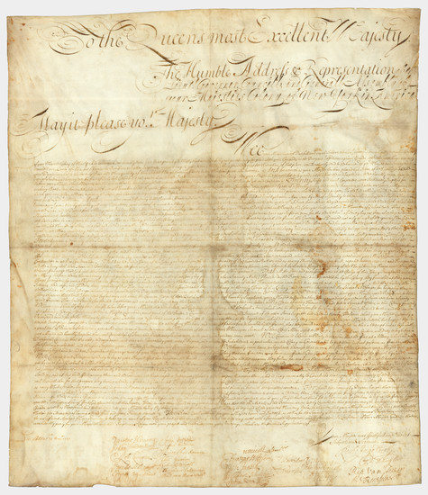
Place/Date:
n.p. / 1776 circa - 1779
Size:
16 x 12.5 inches
Condition:
VG
Stock#:
69609
Place/Date:
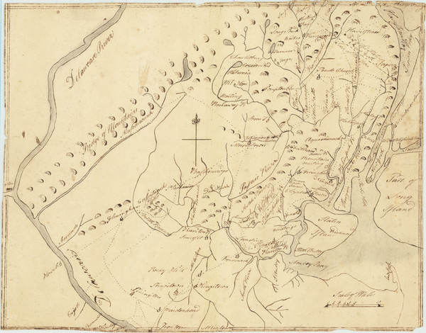
n.p. (New York or Albany?) / 1709
Size:
23 x 27 inches Sheet Size
Condition:
VG
Stock#:
85409
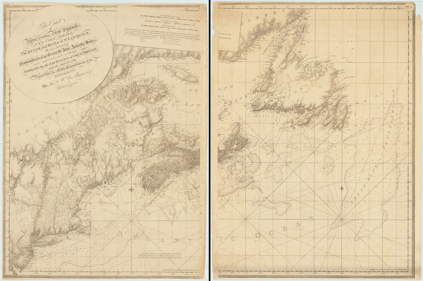
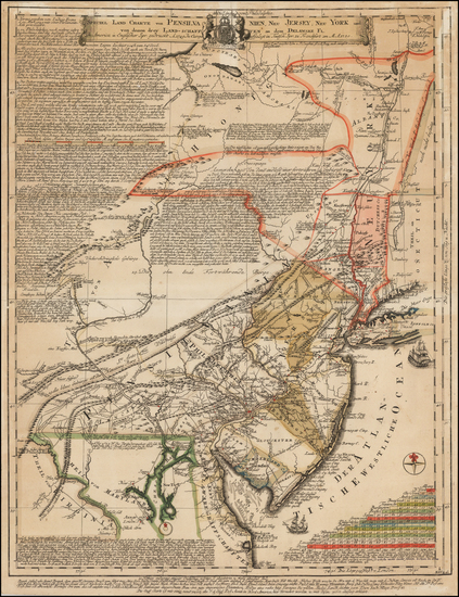
Place/Date:
London / 1780
Size:
46 x 32.3 inches (if joined)
Condition:
Good
Stock#:
69631
Place/Date:
New York / 1776
Size:
15.5 x 17.5 inches
Condition:
VG
Stock#:
66833
Place/Date:
Amsterdam / 1780
Size:
23.5 x 20.5 inches
Condition:
VG+
Stock#:
92745
Romans / Mortier, Covens & Zoon's 1780 original map showing New York State.
Place/Date:
London / 1685 (1715 ca)
Size:
21.5 x 18 inches
Condition:
VG+
Stock#:
60306op
Original map showing New York State by Morden / Lea / Willdey / Thornton made in 1685.
Place/Date:
Frankfurt / 1750
Size:
18 x 23.5 inches
Condition:
VG
Stock#:
51958
Antique map showing New York State by Evans made in 1750.