
Search
Place/Date:
Mainz / Frankfurt / 1849 (1851)
Size:
17 x 22 inches (map)
Condition:
VG
Stock#:
63002
Place/Date:
Washington / 1858
Size:
37 x 24 inches
Condition:
VG
Stock#:
63234
Place/Date:
Philadelphia / 1814
Size:
5.5 x 7.5 inches
Condition:
VG+
Stock#:
62979
Place/Date:
Washington, D.C. / 1855
Size:
23.5 x 31 inches
Condition:
Good
Stock#:
55935
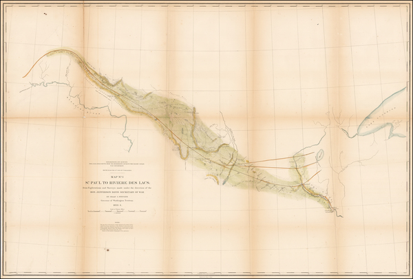
Antique map showing the Plains by U.S. Pacific RR Surveys made in 1855.
Place/Date:
Lincoln, NE / 1887
Size:
40 x 22.5 inches
Condition:
VG+
Stock#:
45841
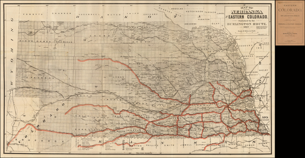
1887 antique Burlington Route map showing the Plains.

Place/Date:
Washington, D.C. / 1898
Size:
18 x 20 inches
Condition:
VG
Stock#:
49293
United States Department of the Interior's 1898 original map showing the Plains.
Place/Date:
Washington / 1854
Size:
37 x 24.75 inches
Condition:
VG
Stock#:
49047
U.S. Pacific RR Survey's 1854 antique map showing the Plains.
Place/Date:
Leipzig / 1807
Size:
13 x 10 inches
Condition:
VG+
Stock#:
25308
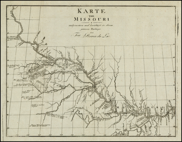
Original map showing the Plains by Perrin du Lac, 1807.
Place/Date:
New York / 1855
Size:
(15 x 12) and (17 x 10)
Condition:
VG
Stock#:
37838ops
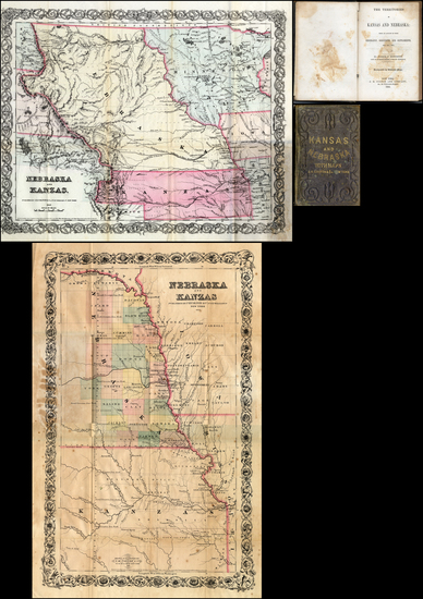
Original map showing the Plains by Moffette made in 1855.