
Search

Place/Date:
Paris / 1748
Size:
6.5 x 7.5 inches
Condition:
VG+
Stock#:
99262
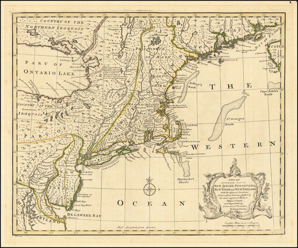
Place/Date:
London / 1747
Size:
17 x 14 inches
Condition:
VG
Stock#:
80358
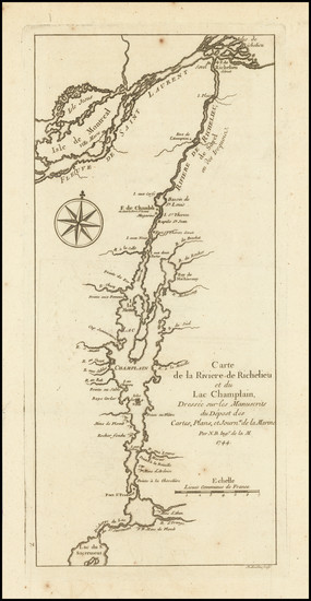
Place/Date:
Paris / 1744
Size:
5.5 x 12 inches
Condition:
VG
Stock#:
91308
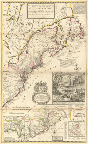
Place/Date:
London / 1733
Size:
24.5 x 40.5 inches
Condition:
VG+
Stock#:
101277
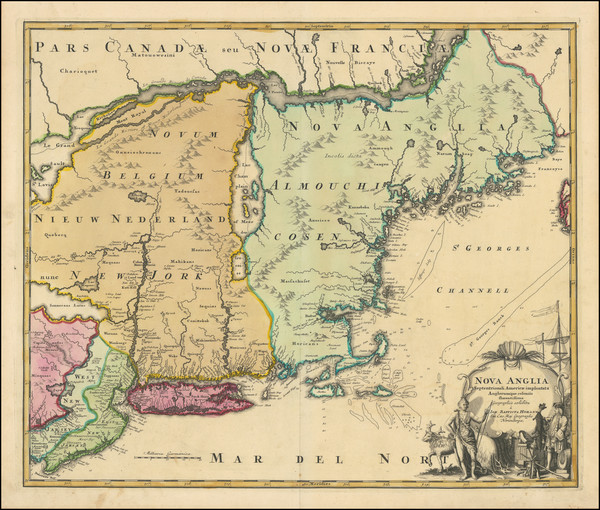
Place/Date:
Nurmberg / 1716
Size:
22.5 x 19 inches
Condition:
VG
Stock#:
100105
Place/Date:
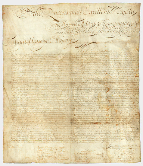
n.p. (New York or Albany?) / 1709
Size:
23 x 27 inches Sheet Size
Condition:
VG
Stock#:
85409

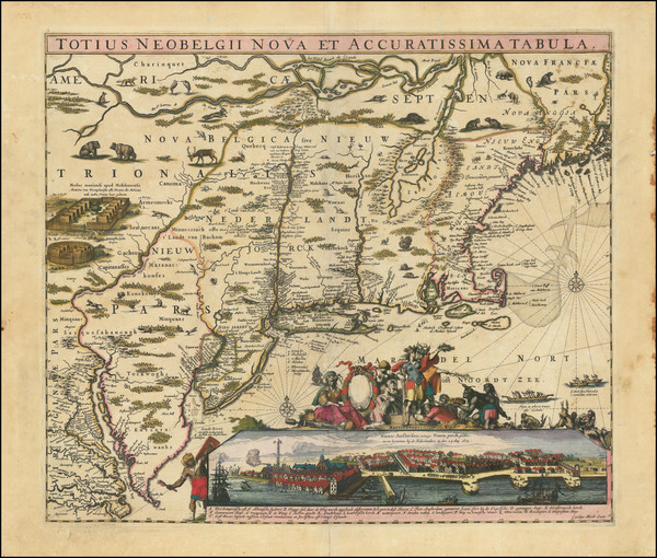
Place/Date:
Amsterdam / 1702
Size:
23 x 20.5 inches
Condition:
VG
Stock#:
33948mb
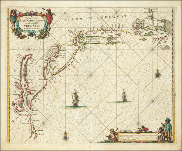
Early Sea Chart of Manhattan, Long Island, Nantucket, Martha's Vineyard, Block Island, Hudson River, New England
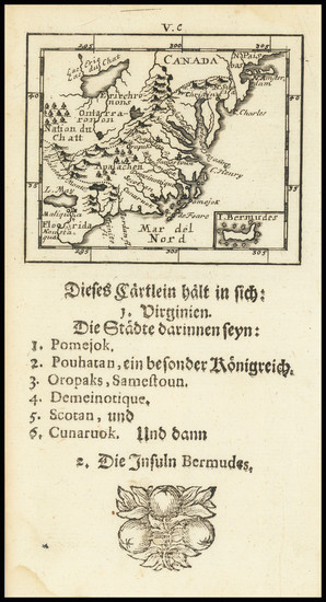
Place/Date:
Frankfurt / 1692
Size:
3 x 2.5 inches
Condition:
VG
Stock#:
71479

Place/Date:
Hamburg / 1688
Size:
7 x 12 inches (with text0
Condition:
VG
Stock#:
94087
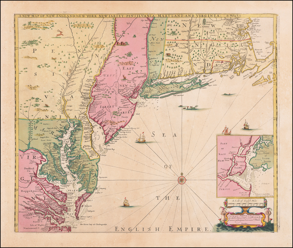
Place/Date:
London / 1685 (1715 ca)
Size:
21.5 x 18 inches
Condition:
VG+
Stock#:
60306op
Original map showing New York State by Morden / Lea / Willdey / Thornton made in 1685.

Place/Date:
Amsterdam / 1684 circa
Size:
21.5 x 18.5 inches
Condition:
VG
Stock#:
93874
Place/Date:
Amsterdam / 1680 circa
Size:
21 x 18.25 inches
Condition:
VG
Stock#:
91239
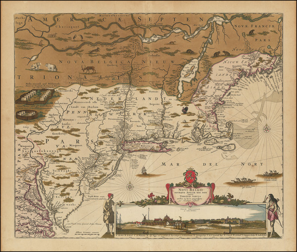
Place/Date:
Amsterdam / 1666
Size:
21 x 17 inches
Condition:
VG
Stock#:
66883op
Place/Date:
Amsterdam / 1656 (1684)
Size:
22 x 18.5 inches
Condition:
VG
Stock#:
85388

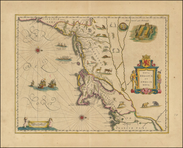
Place/Date:
Amsterdam / 1651 (1660 ca)
Size:
20.5 x 17.5 inches
Condition:
VG
Stock#:
66922
Jansson's 1651 antique map showing New York State.
Place/Date:
Amsterdam / 1640 circa
Size:
20 x 15.5 inches
Condition:
VG+
Stock#:
91974
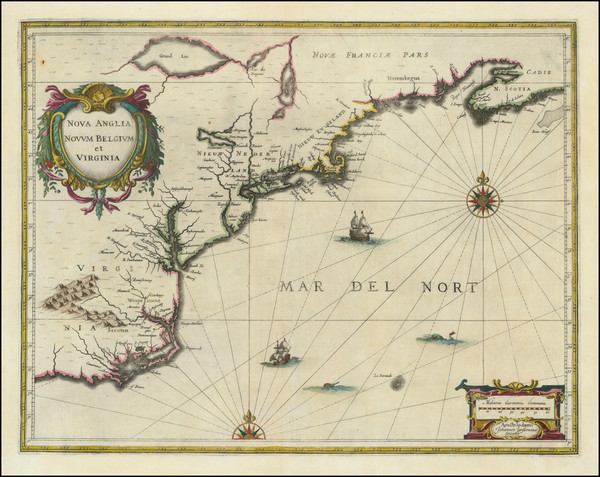
Place/Date:
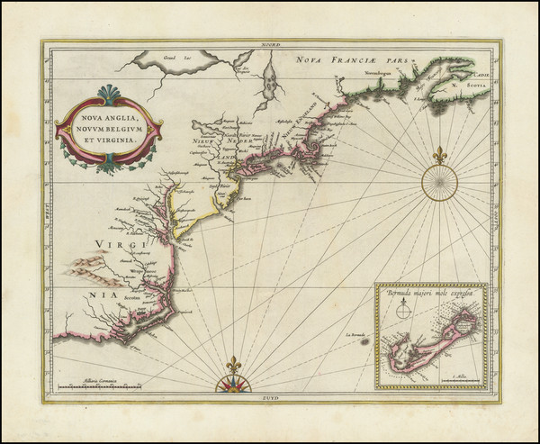
Amsterdam / 1637
Size:
20 x 15.5 inches
Condition:
VG
Stock#:
91920
Place/Date:
Antwerp / 1625
Size:
14 x 11 inches
Condition:
VG+
Stock#:
91528
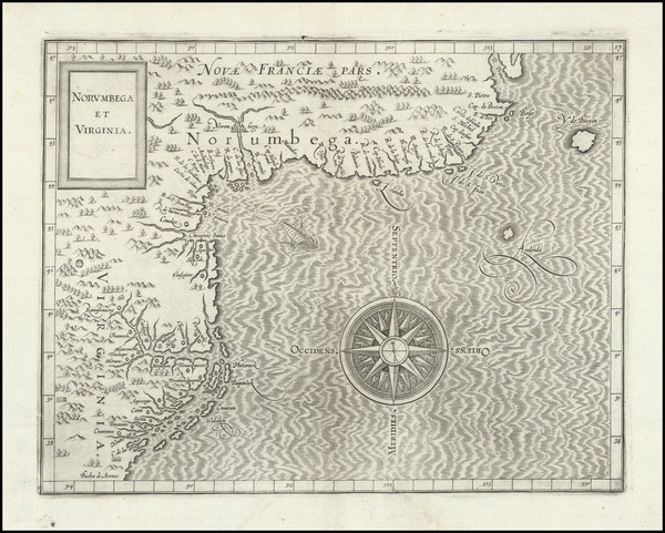
Place/Date:
Louvain / 1597 (1607)
Size:
11.5 x 9 inches
Condition:
VG
Stock#:
98918
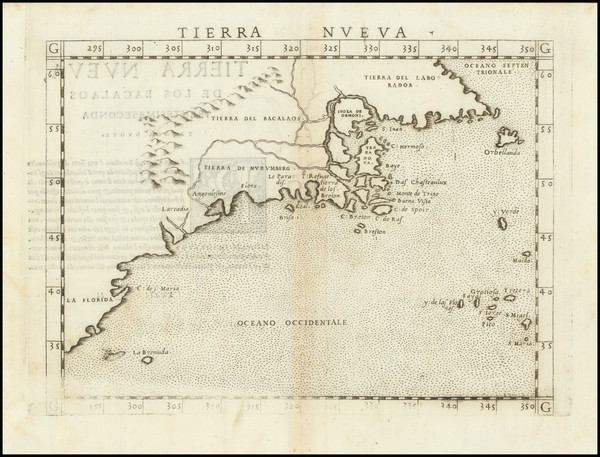
Place/Date:
Venice / 1561
Size:
10 x 7 inches
Condition:
VG
Stock#:
64626
1561 Antique Map of North American Coastline.
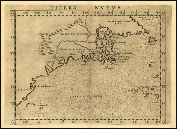
Place/Date:
Venice / 1561 (1574)
Size:
10 x 7.5 inches
Condition:
VG+
Stock#:
86737
Ruscelli's 1561 antique map showing New York State.