
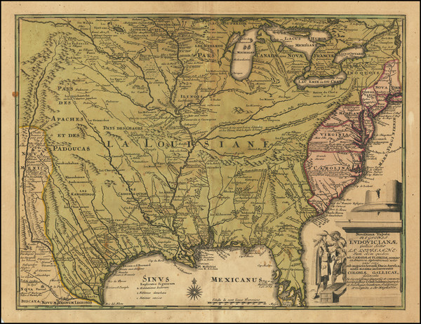
Search
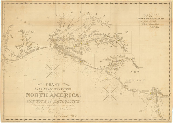
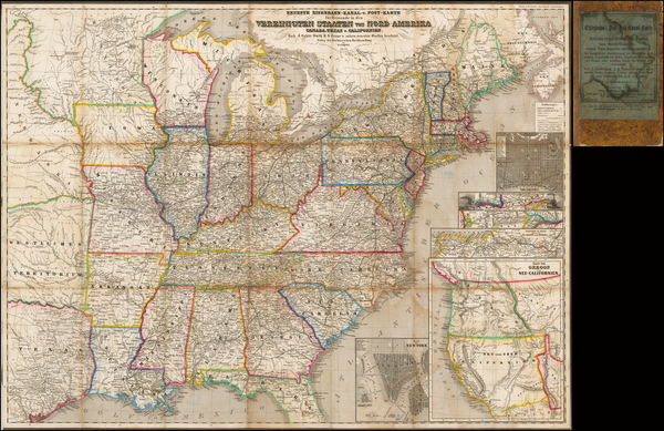
Place/Date:
New York / 1827 (1840)
Size:
37 x 26.5 inches
Condition:
VG+
Stock#:
84684

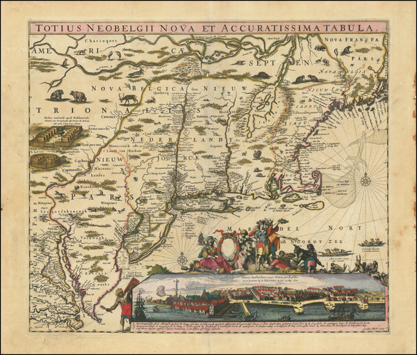
Place/Date:
Hamburg / 1688
Size:
7 x 12 inches (with text0
Condition:
VG
Stock#:
94087

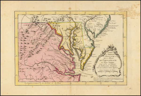
Place/Date:
Madrid / 1826
Size:
36.5 x 24.5 inches
Condition:
VG
Stock#:
48746
Direccion Hidrografica de Madrid's 1826 rare map showing the Mid-Atlantic.
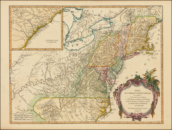
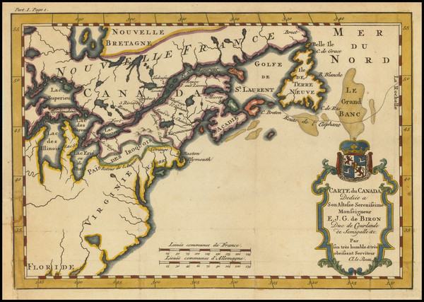
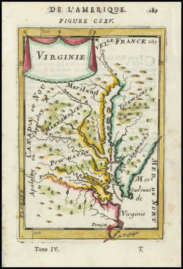
Place/Date:
Paris / 1755
Size:
24.5 x 19 inches
Condition:
VG
Stock#:
93097
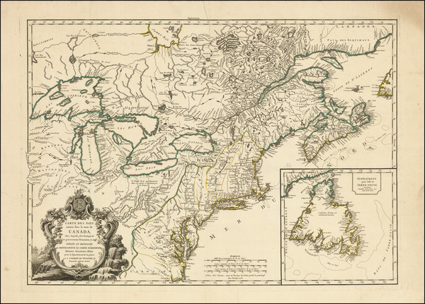
Place/Date:
Paris / 1753 (1755)
Size:
26.5 x 19 inches
Condition:
VG+
Stock#:
94454
Place/Date:
Amsterdam / 1778
Size:
12.5 x 12 inches
Condition:
VG+
Stock#:
92476
Place/Date:
Louvain / 1597 (1607)
Size:
11.5 x 9 inches
Condition:
VG
Stock#:
98918
Place/Date:
Paris / 1738
Size:
9 x 6 inches
Condition:
VG+
Stock#:
91075
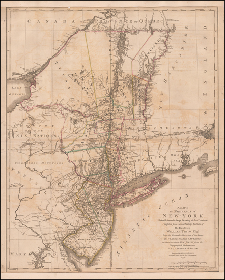
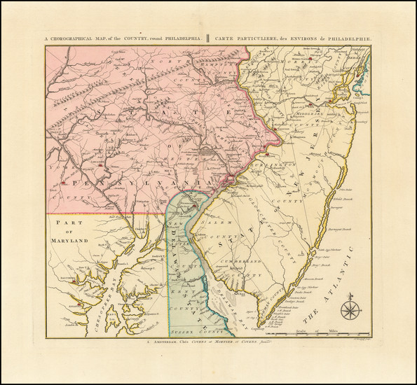
Place/Date:
London / 1776
Size:
22.5 x 28.5 inches
Condition:
Good
Stock#:
60351
Original map showing the Mid-Atlantic by Sauthier / Ratzer, 1776.
Place/Date:
Nuremberg / 1718
Size:
16.5 x 12.5 inches
Condition:
VG
Stock#:
72622
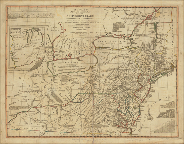
Place/Date:
London / 1796 circa
Size:
25 x 19 inches
Condition:
VG
Stock#:
50850
Antique map showing the Mid-Atlantic by Bowles & Evans made in 1796.
Place/Date:
Amsterdam / 1680 circa
Size:
21 x 18.25 inches
Condition:
VG
Stock#:
91239
Place/Date:
Bamberg / 1852
Size:
21.5 x 29 inches
Condition:
VG
Stock#:
48081
Antique map showing the Mid-Atlantic by Buchnerschen Buchhandlung, 1852.
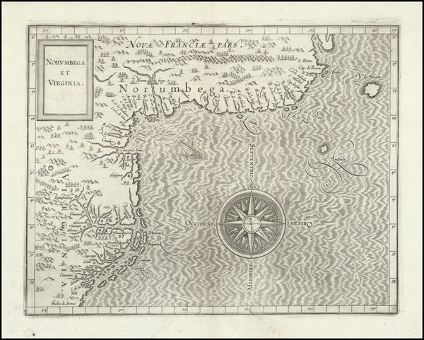
Place/Date:
Paris / 1683
Size:
4.5 x 6 inches
Condition:
VG+
Stock#:
91775
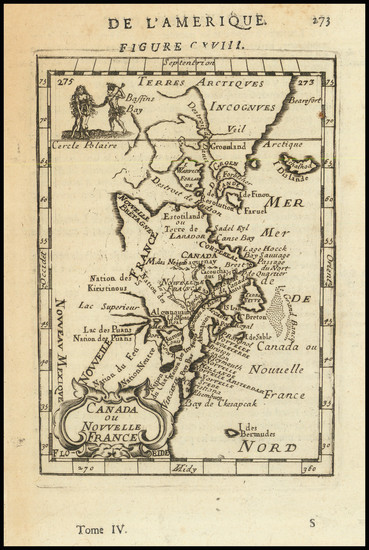
Place/Date:
Paris / 1683
Size:
4.5 x 6 inches
Condition:
VG+
Stock#:
97657
Mallet's 1683 antique map showing the Mid-Atlantic.
Place/Date:
Amsterdam / 1770
Size:
12 x 8 inches
Condition:
Good
Stock#:
100968
Krevelt's 1770 rare map showing the Mid-Atlantic.