
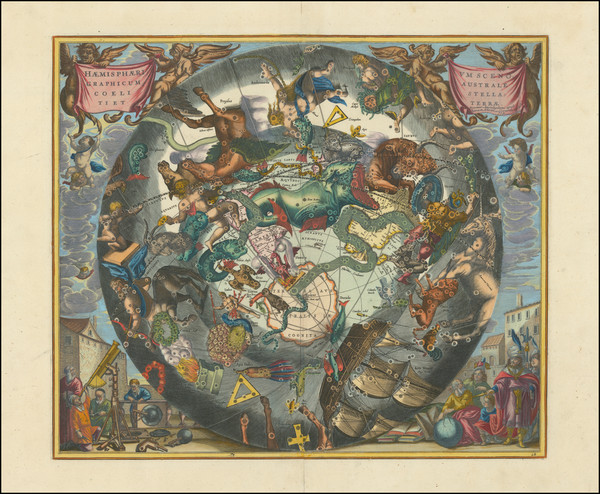
Search
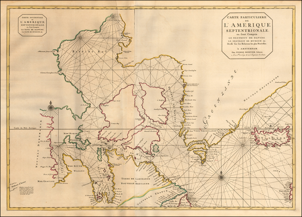
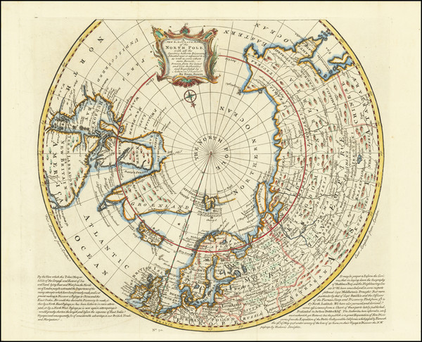
Place/Date:
Amsterdam / 1695 circa
Size:
32.5 x 23 inches
Condition:
VG
Stock#:
57076
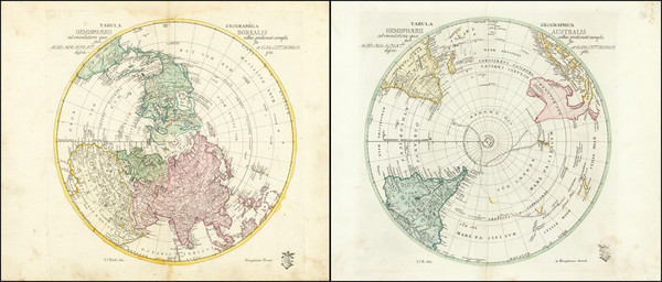
Antique map showing Antique Polar Maps by Mortier, 1695.
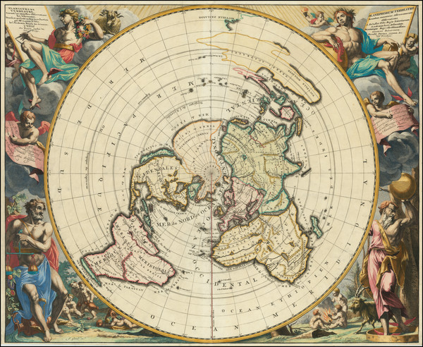
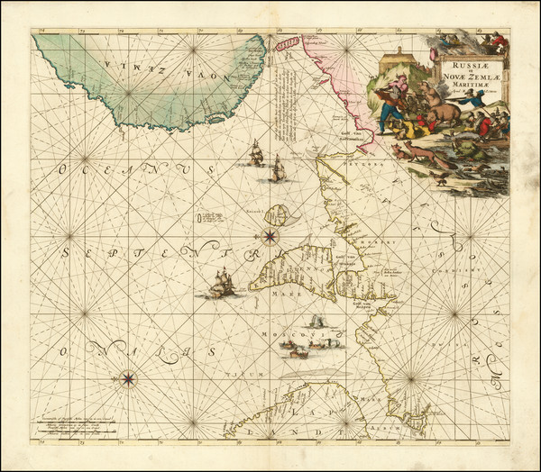
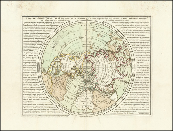
Place/Date:
Paris / 1697 circa
Size:
17.25 x 9.5 inches
Condition:
VG
Stock#:
85541
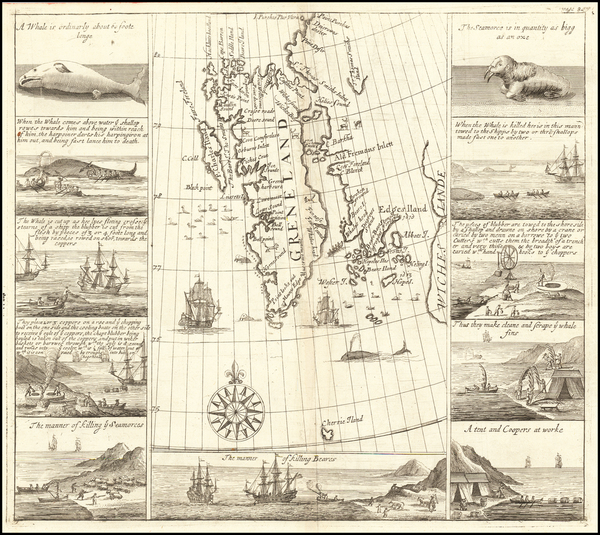
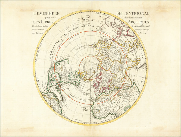
Place/Date:
London / 1704
Size:
12.5 x 11.5 inches
Condition:
VG
Stock#:
61990
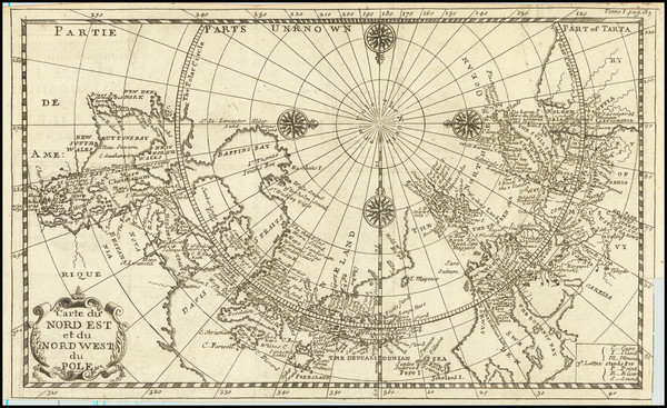
Place/Date:
Nuremberg / 1705 circa
Size:
22.5 x 19 inches
Condition:
VG
Stock#:
73985
Place/Date:
Amsterdam / 1708
Size:
19.5 x 17 inches
Condition:
Good
Stock#:
101507
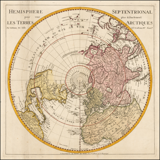
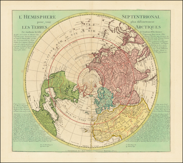
Place/Date:
Leiden / 1713
Size:
26 x 21 inches
Condition:
VG+
Stock#:
70057
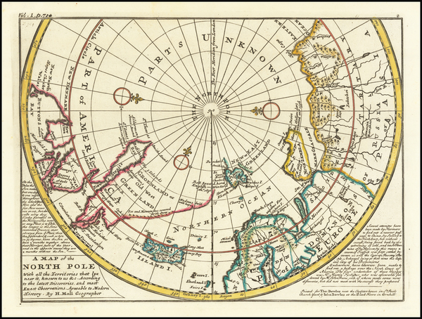
Place/Date:
Paris / 1714
Size:
18 x 18 inches
Condition:
VG
Stock#:
73907

Place/Date:
Nuremberg / 1720
Size:
14 x 12 inches
Condition:
VG+
Stock#:
0026dg
1720 rare Weigel map showing Antique Polar Maps.
Place/Date:
Amsterdam / 1725 circa
Size:
12.5 x 7.5 inches
Condition:
VG
Stock#:
84117
Place/Date:
London / 1729 circa
Size:
11 x 8 inches
Condition:
VG+
Stock#:
65436
18th Century Map of the North Polar Regions
Place/Date:
Amsterdam / 1730 circa
Size:
18 x 18 inches
Condition:
VG
Stock#:
0027dg
Antique map showing Antique Polar Maps by De Leth / De L'Isle made in 1730.
Place/Date:
Paris / 1735
Size:
21 x 9.5 inches
Condition:
VG+
Stock#:
90639

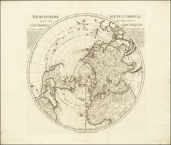
Place/Date:
Amsterdam / 1740
Size:
24 x 18 inches Including Text
Condition:
VG
Stock#:
91393
Place/Date:
Amsterdam / 1741
Size:
20 x 18 inches
Condition:
VG+
Stock#:
68768
Place/Date:
Amsterdam / 1741 circa
Size:
18 x 18 inches
Condition:
VG
Stock#:
91931
Place/Date:
London / 1744
Size:
13 x 7 inches
Condition:
VG+
Stock#:
79238
Place/Date:
Amsterdam / 1745
Size:
22 x 19.5 inches
Condition:
VG+
Stock#:
92722
Place/Date:
Amsterdam / 1745
Size:
18 x 18 inches
Condition:
VG+
Stock#:
90359
Place/Date:
London / 1746
Size:
16.5 x 15 inches
Condition:
VG+
Stock#:
77246
Rare map showing Antique Polar Maps by Bowen made in 1746.
Place/Date:
Paris / 1746
Size:
13 x 10 inches
Condition:
VG
Stock#:
90997
Place/Date:
Almelo and Deventer / 1747
Size:
11 x 7 inches
Condition:
VG+
Stock#:
95217
Place/Date:
London / 1750 circa
Size:
22 x 17.5 inches
Condition:
VG
Stock#:
60417
Rare map showing Antique Polar Maps by Mount & Page made in 1750.
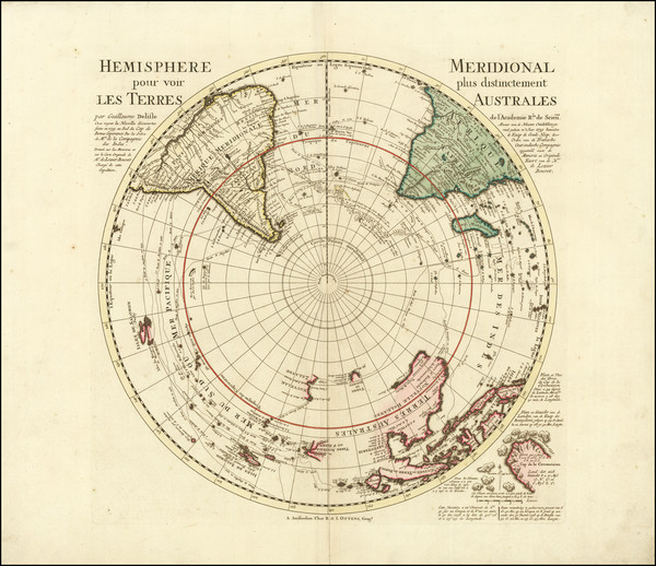
Place/Date:
Paris / 1752
Size:
25 x 18 inches
Condition:
VG+
Stock#:
74874
Place/Date:
Berlin / 1753 circa
Size:
12 x 12 inches Each
Condition:
VG
Stock#:
81806
Place/Date:
Berlin / 1753
Size:
12 x 12 inches Each
Condition:
VG
Stock#:
102686

Place/Date:
Paris / 1756 (1780)
Size:
17.5 x 13.5 inches
Condition:
VG+
Stock#:
98378
Place/Date:
Paris / 1757
Size:
9.5 x 6.5 inches
Condition:
VG
Stock#:
78901
Place/Date:
Paris / 1757
Size:
12 x 9 inches
Condition:
VG
Stock#:
96825
Rare map showing Antique Polar Maps by Bellin, 1757.
Place/Date:
Paris / 1758
Size:
13.5 x 8.5 inches
Condition:
VG+
Stock#:
38760pb
Bellin's 1758 original map showing Antique Polar Maps.

Place/Date:
Paris / 1758
Size:
14 x 8 inches
Condition:
VG+
Stock#:
43313
1758 antique Bellin map showing Antique Polar Maps.
Place/Date:
Amsterdam / 1758 (1766)
Size:
25 x 18 inches
Condition:
VG
Stock#:
84790
Place/Date:
St. Petersburg / 1760
Size:
12 x 9 inches
Condition:
VG+
Stock#:
100628
Place/Date:
Paris / 1765
Size:
34 x 21.5 inches
Condition:
VG+
Stock#:
80022

Place/Date:
Paris / 1766
Size:
33 x 22 inches
Condition:
VG+
Stock#:
37346ops
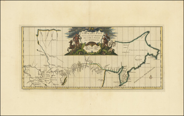
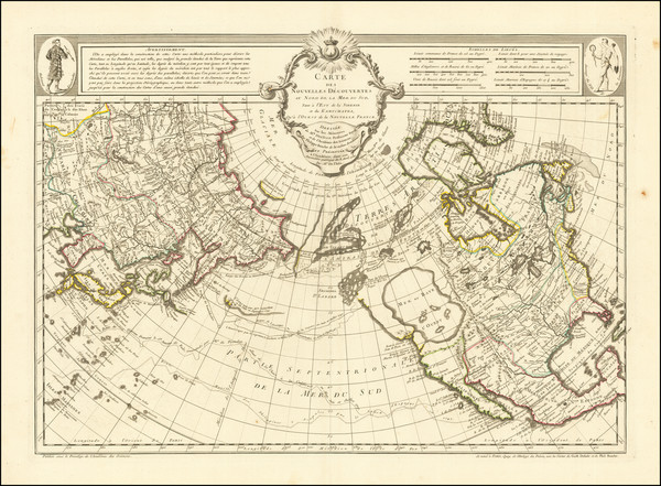
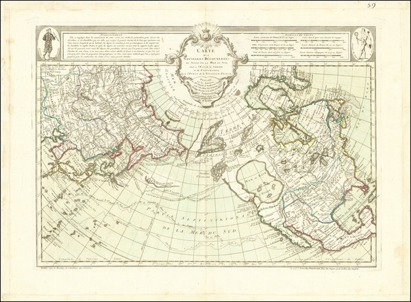
Antique Map of the Pacific Northwest and Northwest Passsage

Place/Date:
Paris / 1772
Size:
15 x 12 inches
Condition:
VG+
Stock#:
50181
Original map showing Antique Polar Maps by Diderot & de Vaugondy made in 1772.
Place/Date:
Paris / 1772
Size:
14 x 11.5 inches
Condition:
VG+
Stock#:
84039

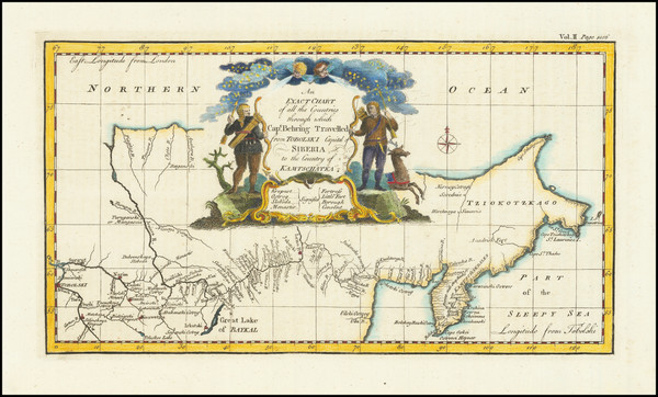
Place/Date:
St. Petersburg / 1773
Size:
25 x 18 inches
Condition:
VG
Stock#:
90200
Place/Date:
Amsterdam / 1774 (1777)
Size:
10.5 x 8.5 inches
Condition:
VG+
Stock#:
80212
Place/Date:
London / 1775
Size:
19 x 44 inches
Condition:
VG
Stock#:
0002dg
1775 rare Sayer & Bennett map showing Antique Polar Maps.
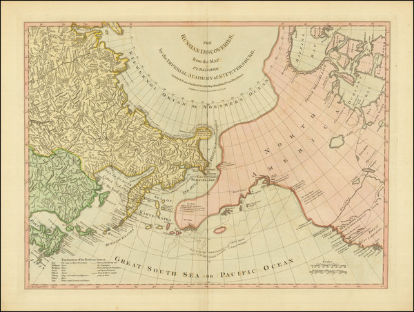
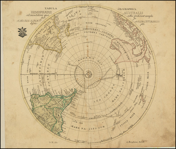
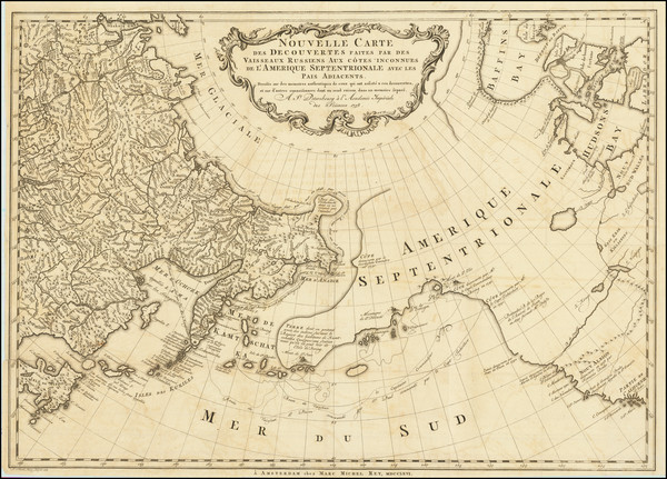
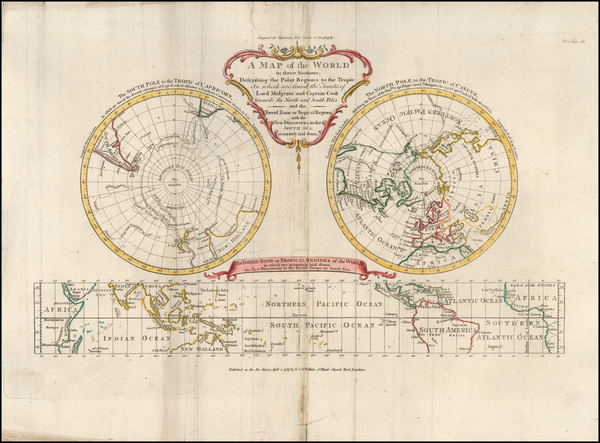
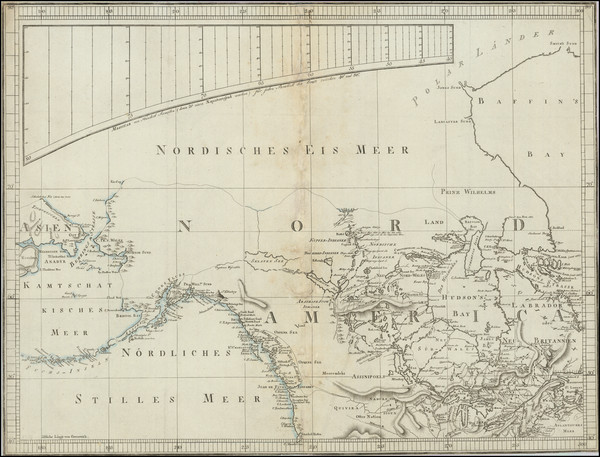
The Russian Discoveries, from the Map Published by the Imperial Academy of St. Petersburg . . . 1775
Place/Date:
London / 1775
Size:
24 x 18 inches
Condition:
VG
Stock#:
81950

Place/Date:
London / 1775
Size:
27.5 x 20.5 inches
Condition:
VG
Stock#:
96126
Place/Date:
Paris / 1776
Size:
35 x 22.5 inches Including Text
Condition:
VG
Stock#:
79970
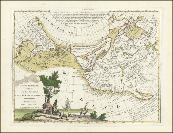
Place/Date:
Venice / 1776
Size:
16 x 12 inches
Condition:
VG+
Stock#:
101875

Place/Date:
London / 1778 circa
Size:
12 x 8 inches
Condition:
VG
Stock#:
39682
Middleton's 1778 antique map showing Antique Polar Maps.
Place/Date:
Paris / 1778
Size:
17.5 x 9 inches
Condition:
VG
Stock#:
95130
Place/Date:
Paris / 1780
Size:
25.5 x 18.5 inches
Condition:
VG+
Stock#:
78451
Place/Date:
Augsburg / 1787
Size:
9 x 7.5 inches
Condition:
VG
Stock#:
18651
1787 original Walch map showing Antique Polar Maps.
Place/Date:
London / 1787
Size:
17 x 11 inches
Condition:
VG
Stock#:
57281
Hervey's 1787 original map showing Antique Polar Maps.
Place/Date:
Amsterdam / 1790 circa
Size:
17 x 10 inches
Condition:
VG+
Stock#:
38194
Elwe's 1790 rare map showing Antique Polar Maps.
Place/Date:
Berlin / 1791
Size:
25 x 19 inches
Condition:
VG
Stock#:
41816dm
Forster's 1791 antique map showing Antique Polar Maps.