
Search
Old and antique maps of British Columbia for sale. Our authentic British Columbia map inventory features antique maps of Canada from the period of the earliest European exploration of the Pacific Coast of Canada, including by Vancouver, Malaspina, MacKenzie, and others. Maps of Vancouver and Victoria are also for sale, as well as maps of Vancouver Island.
Place/Date:
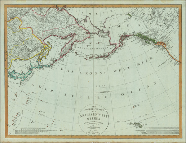
Weimar / 1804
Size:
26.5 x 20 inches
Condition:
VG+
Stock#:
80463
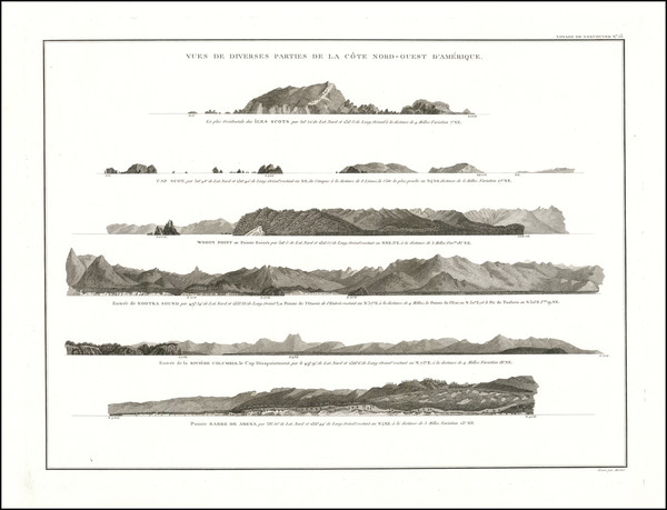
Place/Date:
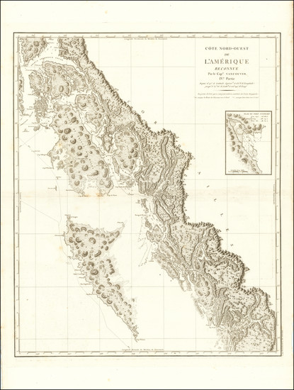
Paris / 1799
Size:
24 x 29 inches
Condition:
VG
Stock#:
90995
Place/Date:
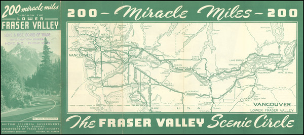
Victoria, B.C. / 1950 circa
Size:
14.25 x 5.75 inches
Condition:
VG
Stock#:
101662
Place/Date:
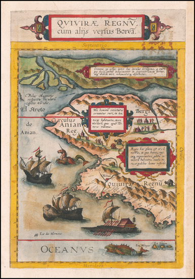
Antwerp / 1593
Size:
8.5 x 14 inches
Condition:
VG
Stock#:
60083
de Jode's 1593 original map showing British Columbia.
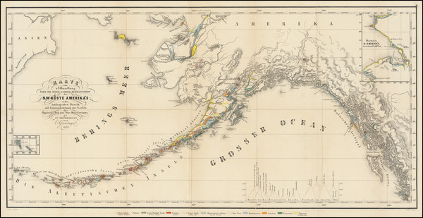
Place/Date:
St. Petesburg / 1849
Size:
26 x 13 inches
Condition:
VG
Stock#:
101812
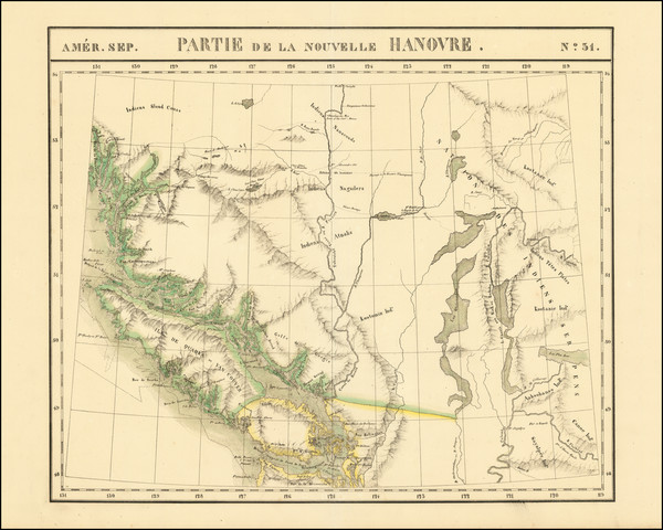
Place/Date:
Brussels / 1825
Size:
22 x 18.5 inches
Condition:
VG+
Stock#:
93550
Place/Date:
San Franicso / 1863 circa
Size:
23 x 28 inches Image Each Sheet
Condition:
VG
Stock#:
54924
1863 rare Bancroft & Company / Knight map showing British Columbia.
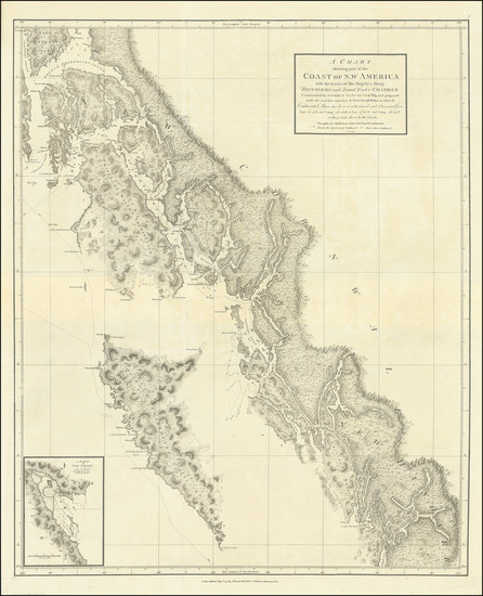
Place/Date:
London / 1798
Size:
24 x 30 inches
Condition:
VG+
Stock#:
102065
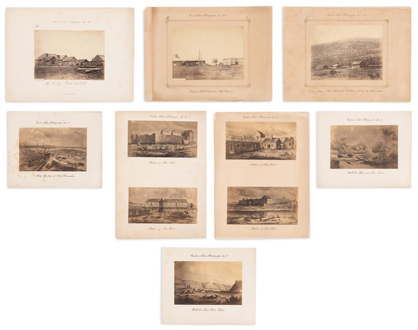
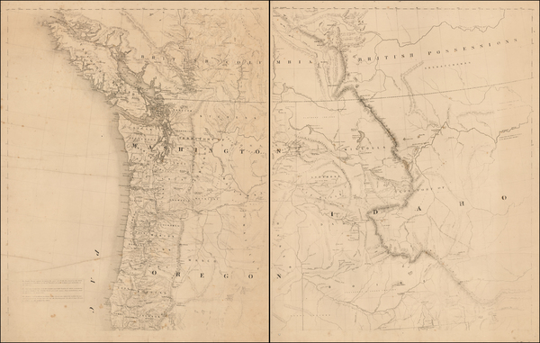
Place/Date:
Washington, D.C. / 1865 - 1867 circa
Size:
Various sizes
Condition:
VG
Stock#:
95481
Place/Date:
Paris / 1798
Size:
20 x 14.5 inches
Condition:
VG+
Stock#:
92758
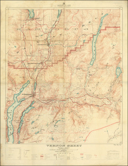
Place/Date:
Victoria / 1921
Size:
22.3 x 30.7 inches
Condition:
VG
Stock#:
97208
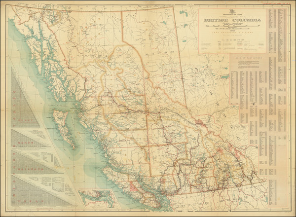
Place/Date:
n.p. / 1923
Size:
36 x 26.5 inches
Condition:
VG
Stock#:
97969
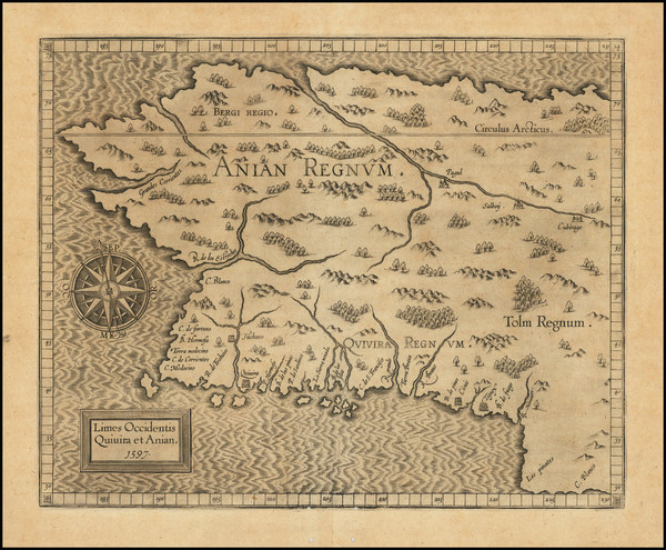
Place/Date:
Louvain / 1597
Size:
11.5 x 9 inches
Condition:
VG
Stock#:
71207
1597 antique Wytfliet map showing British Columbia.