
Search
Old and antique maps of Eastern Canada for sale. Our authentic Eastern Canada map inventory features antique maps of Canada from the period of New France, the Hudson Bay Company, and early exploration by mapmakers such as Champlain. Our map inventory typically includes antique and vintage city views and plans of Montreal, Quebec, and Toronto, as well as maps of Ontario, Upper and Lower Canada, Quebec, Newfoundland and Labrador, Prince Edward Island, Nova Scotia, and New Brunswick. Vintage pictorial maps of Eastern Canada are also for sale.

Place/Date:
Sweden / 1816
Size:
20.5 x 15 inches
Condition:
VG+
Stock#:
64709
Place/Date:
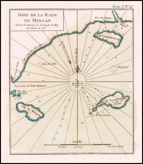
Paris / 1764
Size:
6.5 x 7.5 inches
Condition:
VG+
Stock#:
58758
Bellin's 1764 original map showing Eastern Canada.
Place/Date:
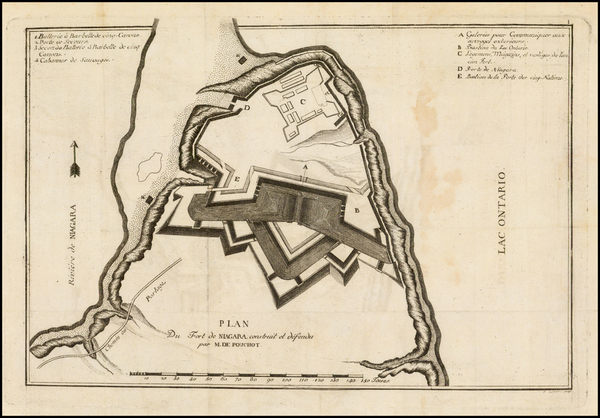
Geneva / 1781
Size:
12.5 x 8.5 inches
Condition:
VG
Stock#:
39501
Pouchot's 1781 antique map showing Eastern Canada.
Place/Date:
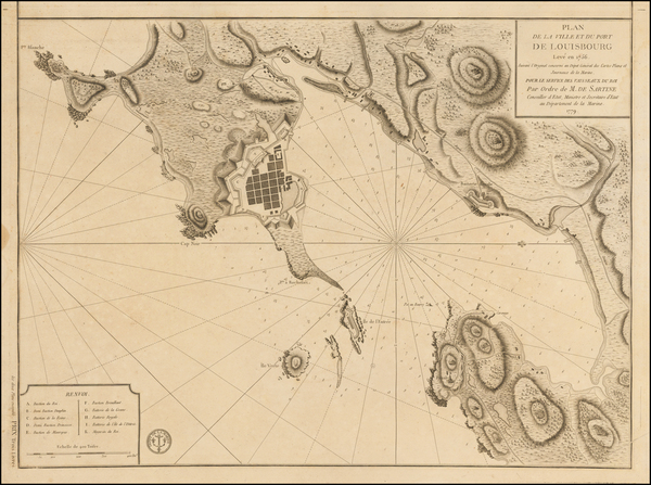
Paris / 1779
Size:
17.5 x 23.5 inches
Condition:
VG
Stock#:
50750
Rare map showing Eastern Canada by Depot de la Marine made in 1779.
Place/Date:
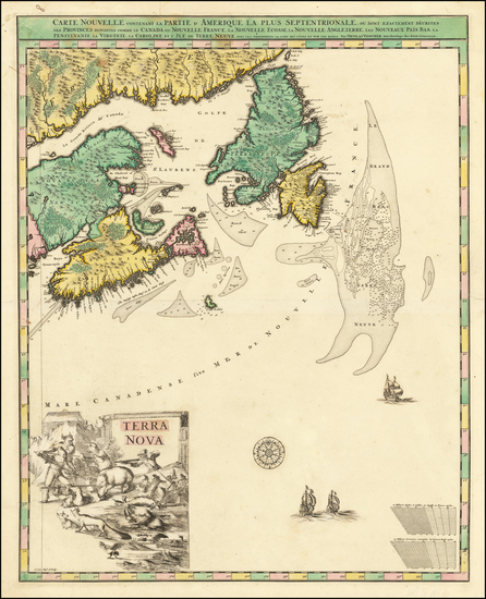
Amsterdam / 1696 circa
Size:
23 x 18.5 inches
Condition:
VG
Stock#:
47720
Visscher I's 1696 original map showing Eastern Canada.