
Search
Old and antique maps of British Columbia for sale. Our authentic British Columbia map inventory features antique maps of Canada from the period of the earliest European exploration of the Pacific Coast of Canada, including by Vancouver, Malaspina, MacKenzie, and others. Maps of Vancouver and Victoria are also for sale, as well as maps of Vancouver Island.

Place/Date:
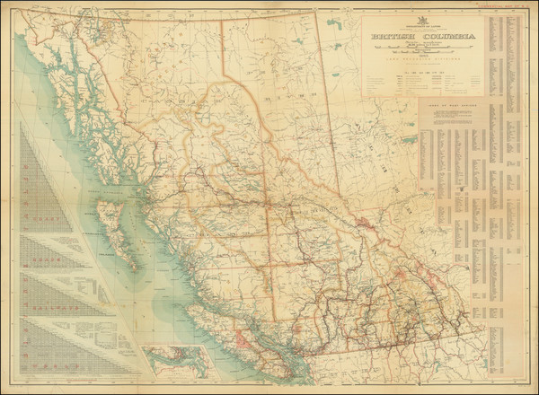
Victoria / 1923
Size:
36 x 28 inches
Condition:
VG
Stock#:
59473
Antique map showing British Columbia by Department of Lands, Land Records Division made in 1923.
Place/Date:
n.p. / 1923
Size:
36 x 26.5 inches
Condition:
VG
Stock#:
97969
Place/Date:
Chicago / 1926
Size:
11.5 x 17.5 inches
Condition:
VG
Stock#:
83903
Place/Date:
n.p. / 1927
Size:
30 x 17 inches
Condition:
VG+
Stock#:
96221

Place/Date:
Ottawa / 1928
Size:
40.5 x 35 inches
Condition:
VG
Stock#:
76474
Place/Date:
n.p. / 1929
Size:
31 x 17.25 inches
Condition:
VG+
Stock#:
83401
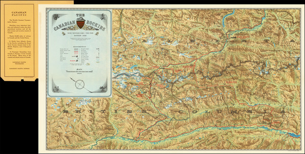
Place/Date:
n.p. / 1930 circa (?)
Size:
60 x 35 inches
Condition:
VG
Stock#:
83941

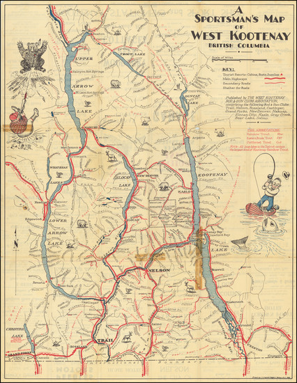
Place/Date:
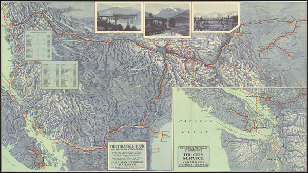
Victoria, B.C. / 1946
Size:
45.3 x 30 inches
Condition:
VG
Stock#:
77413
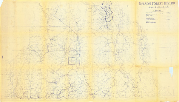
Place/Date:
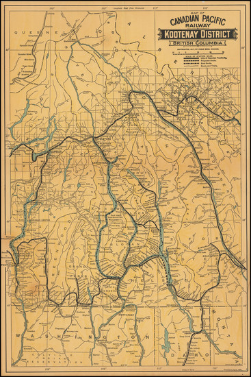
Nelson, B.C. / 1946
Size:
21 x 27 inches
Condition:
Good
Stock#:
83901
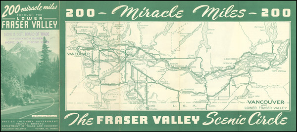
Place/Date:
Victoria, B.C. / 1950 circa
Size:
14.25 x 5.75 inches
Condition:
VG
Stock#:
101662
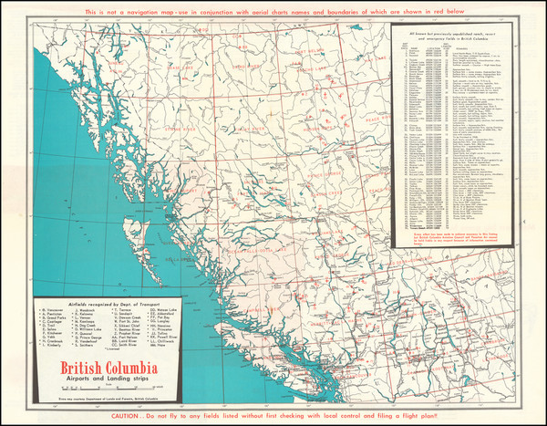
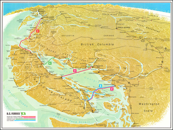
Place/Date:
Vancouver, B.C. / 1965 circa
Size:
19.5 x 15.75 inches
Condition:
VG
Stock#:
90336
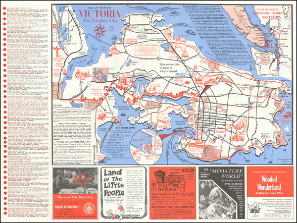
Place/Date:
Victoria, British Columbia / 1968
Size:
23.5 x 17.5 inches
Condition:
VG+
Stock#:
80938
Place/Date:
Victoria, B.C. / 1973
Size:
23.5 x 17.5 inches
Condition:
VG+
Stock#:
101743