
Search

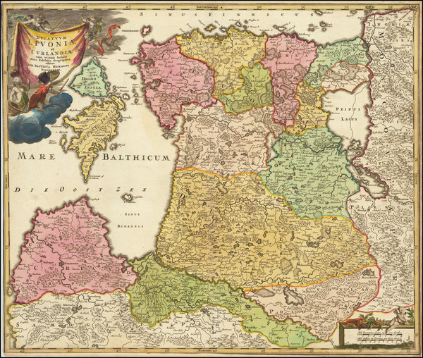
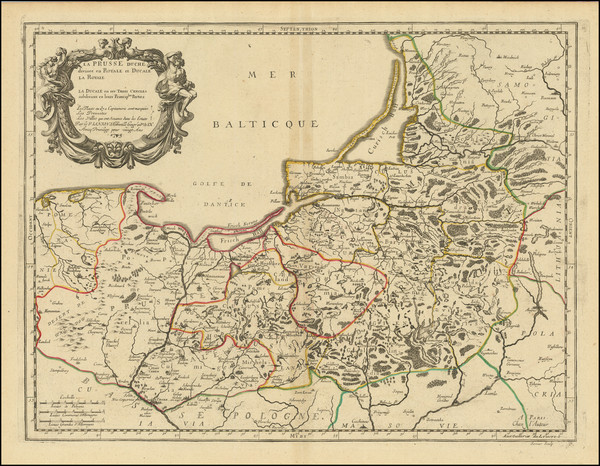
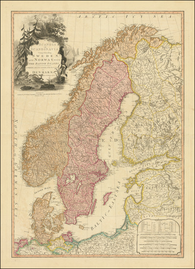
Place/Date:
Nuremberg / 1795 circa
Size:
20.5 x 17.5 inches
Condition:
VG+
Stock#:
60050
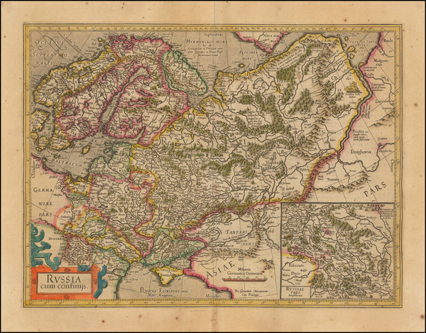
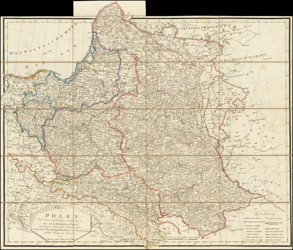
Homann Heirs's 1795 antique map showing the Baltic Countries.
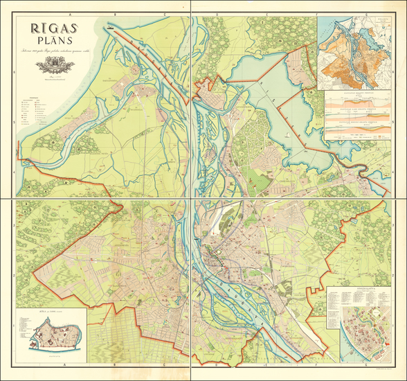
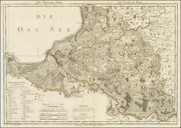
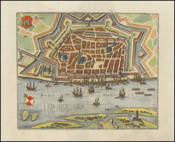
Place/Date:
Riga / 1937
Size:
39.5 x 41 inches (Each Sheet)
Condition:
VG
Stock#:
63953
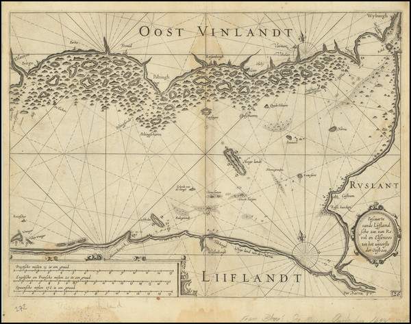
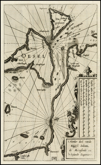
Place/Date:
Amsterdam / 1638 circa
Size:
20 x 15.3 inches
Condition:
VG
Stock#:
67711

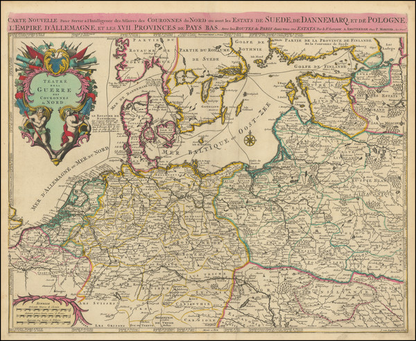
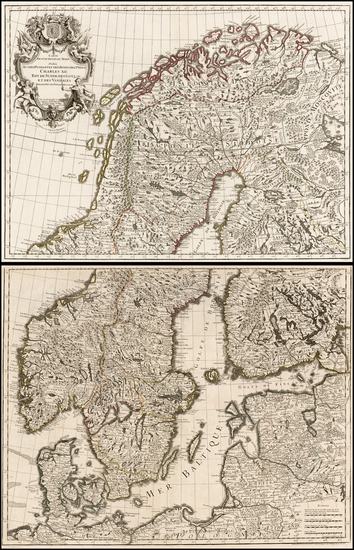
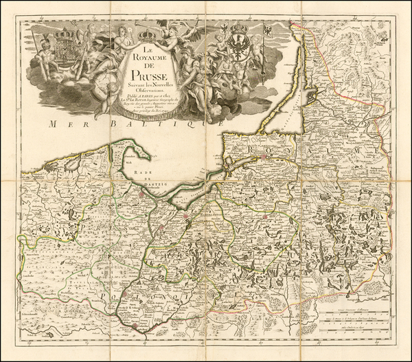
Place/Date:
Paris / 1705
Size:
28 x 17.5 inches
Condition:
VG+
Stock#:
69262
Antique Map of the Kingdoms of Poland, Sweden and Denmark
Place/Date:
Amsterdam / 1623
Size:
14 x 10.25 inches
Condition:
VG
Stock#:
75573

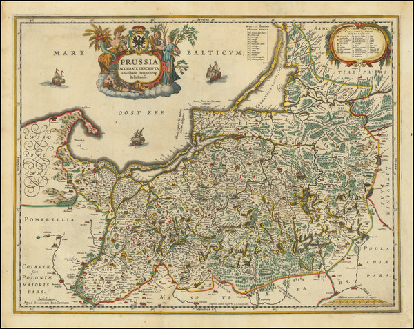
Place/Date:
Amsterdam / 1695
Size:
24 x 19.5 inches
Condition:
VG+
Stock#:
76660
Place/Date:
Nuremberg / 1775
Size:
18 x 22.5 inches
Condition:
VG+
Stock#:
78618
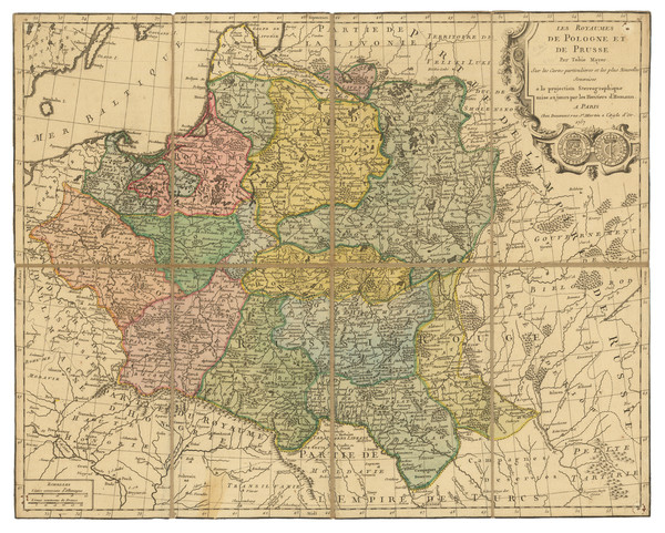
Place/Date:
Paris / 1757
Size:
21 x 17 inches
Condition:
VG+
Stock#:
81059
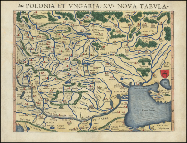
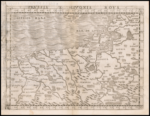
Place/Date:
Basle / 1540
Size:
14 x 10 inches
Condition:
VG+
Stock#:
94631
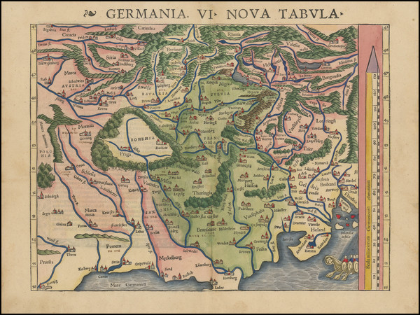
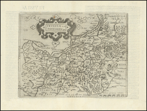
Place/Date:
Basle / 1540
Size:
13.5 x 10 inches
Condition:
VG+
Stock#:
94645
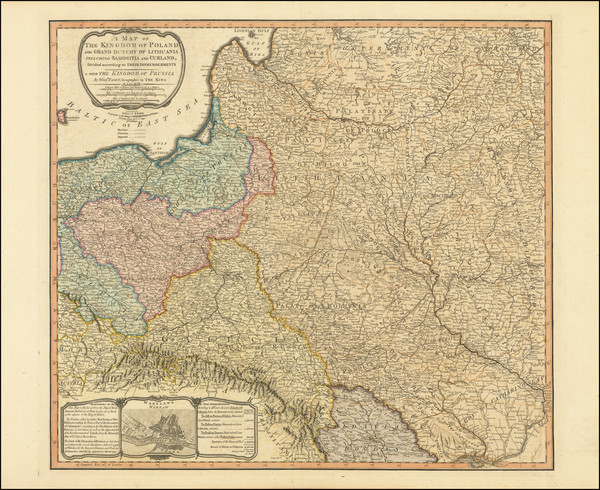
Place/Date:
London / 1799
Size:
22 x 24 inches
Condition:
VG
Stock#:
103017
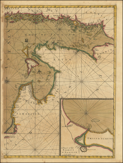
Place/Date:
Amsterdam / 1619 circa
Size:
19 x 14 inches
Condition:
VG
Stock#:
47350
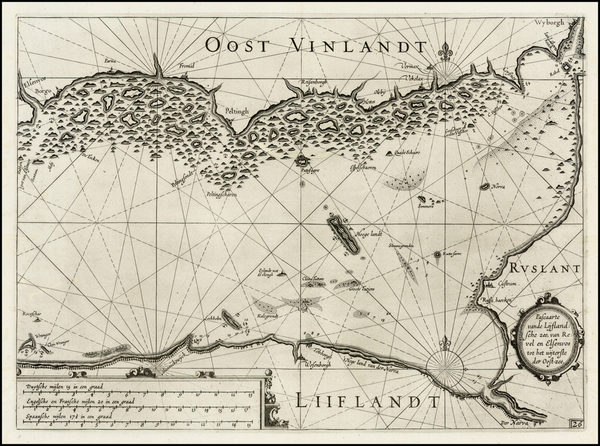
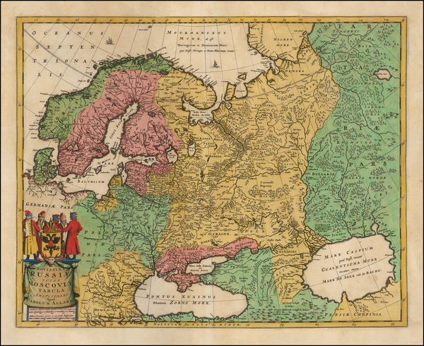
Original map showing the Baltic Countries by Mercator made in 1619.
Place/Date:
Amsterdam / 1623
Size:
14 x 10 inches
Condition:
VG
Stock#:
28883
Rare map showing the Baltic Countries by Blaeu, 1623.
Place/Date:
Antwerp / 1603
Size:
18 x 14.5 inches
Condition:
VG
Stock#:
87940
Place/Date:
Amsterdam / 1680 circa
Size:
20 x 15.25 inches
Condition:
VG+
Stock#:
90908
Place/Date:
London / 1685
Size:
17 x 11 inches
Condition:
VG+
Stock#:
97242
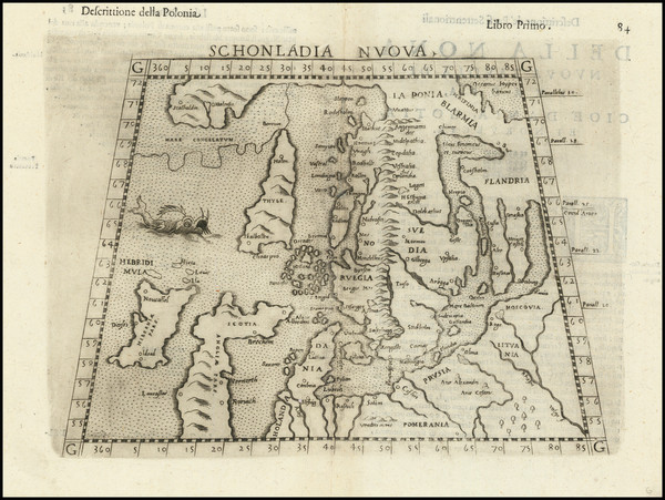
Place/Date:
Venice / 1598
Size:
10 x 7 inches
Condition:
Stock#:
103403
1598 original Ruscelli map showing the Baltic Countries.

Place/Date:
Frankfurt / 1627
Size:
12.5 x 10.5 inches
Condition:
VG+
Stock#:
90774
Place/Date:
/ 1705 circa
Size:
22.75 x 18.25 inches
Condition:
VG+
Stock#:
103586
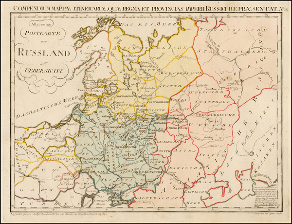
Place/Date:
Vienna / 1799
Size:
19.5 x 13.5 inches
Condition:
VG+
Stock#:
39700
1799 original von Reilly map showing the Baltic Countries.

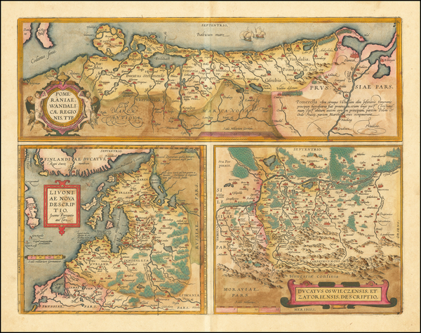
Place/Date:
Cologne / 1581
Size:
16 x 5.5 inches
Condition:
VG+
Stock#:
56724
1581 antique Braun & Hogenberg map showing the Baltic Countries.
Place/Date:
Venice / 1548
Size:
6.5 x 5 inches
Condition:
VG+
Stock#:
59426
1548 rare Gastaldi map showing the Baltic Countries.
Place/Date:
Amsterdam / 1730 circa
Size:
23 x 19 inches
Condition:
VG
Stock#:
67709
Homann's 1730 antique map showing the Baltic Countries.
Place/Date:
Amsterdam / 1623
Size:
14 x 10.25 inches
Condition:
VG
Stock#:
75076
Place/Date:
Cologne / 1596
Size:
10 x 7.8 inches
Condition:
VG+
Stock#:
98955
Place/Date:
Vienna / 1831
Size:
24 x 19.5 inches
Condition:
VG
Stock#:
98958
Place/Date:
Amsterdam / 1698 circa
Size:
17.5 x 22.5 inches
Condition:
VG
Stock#:
47557
Antique map showing the Baltic Countries by Allard, 1698.
Place/Date:
Vilnius / 1933
Size:
38 x 26 inches
Condition:
VG
Stock#:
60532
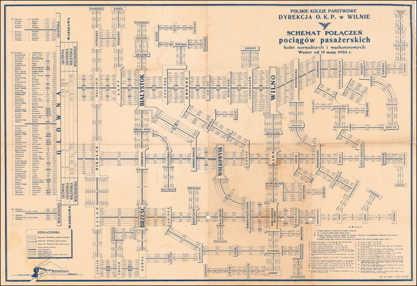
Antique map showing the Baltic Countries by Polskie Koleje Panstwowe Dyrekcja, 1933.

Place/Date:
Frankfurt / 1609
Size:
9 x 7.3 inches
Condition:
VG
Stock#:
68157
Place/Date:
Amsterdam / 1644 circa
Size:
19.5 x 15 inches
Condition:
VG
Stock#:
70460
Rare map showing the Baltic Countries by Blaeu, 1644.
Place/Date:
Cologne / 1584
Size:
17 x 13.5 inches
Condition:
VG+
Stock#:
89171
Place/Date:
London / 1730 circa
Size:
24 x 20 inches
Condition:
Good
Stock#:
79933
Place/Date:
Amsterdam / 1630 circa
Size:
19 x 15 inches
Condition:
VG
Stock#:
99235
Place/Date:
London / 1813
Size:
26 x 24 inches
Condition:
VG+
Stock#:
51373
1813 antique Faden map showing the Baltic Countries.
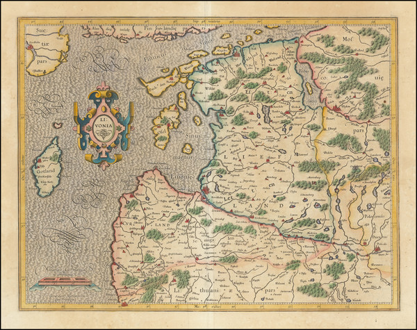
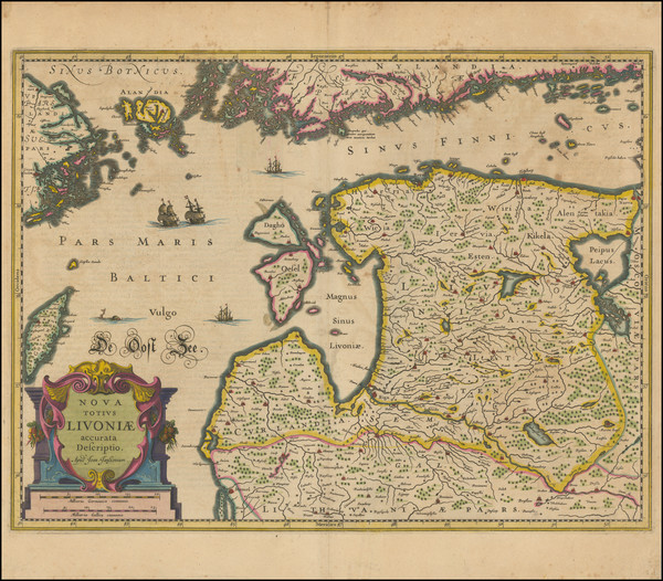
Place/Date:
Amsterdam / 1620 circa
Size:
18.5 x 14.5 inches
Condition:
VG
Stock#:
69198
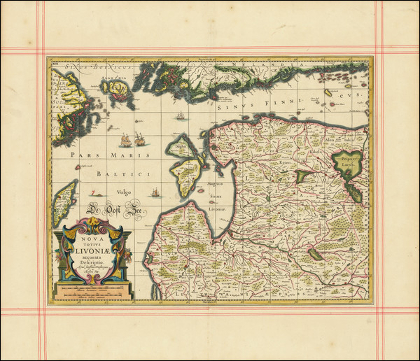
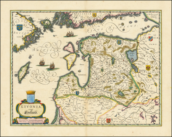
Antique Map of Estonia , Latvia and northern Lithuania
Place/Date:
Amsterdam / 1623
Size:
6.5 x 10.5 inches
Condition:
VG
Stock#:
28761
1623 antique Blaeu map showing the Baltic Countries.
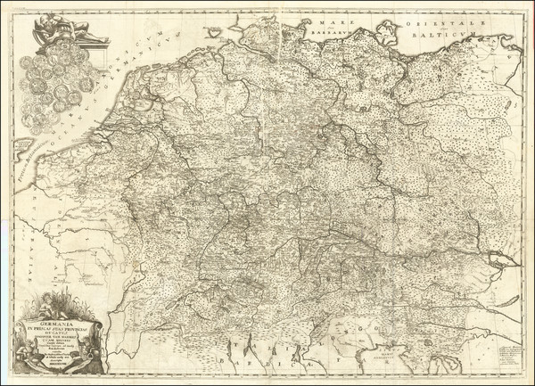
Place/Date:
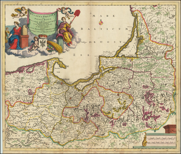
Berlin / 1791
Size:
28 x 19 inches
Condition:
VG+
Stock#:
69148

Place/Date:
Augsburg / 1740 circa
Size:
19 x 22 inches
Condition:
VG+
Stock#:
70300
Place/Date:
Paris / 1723
Size:
21 x 16 inches
Condition:
VG
Stock#:
80099
Antique map showing the Baltic Countries by Sanson made in 1723.
Place/Date:
Amsterdam / 1640 circa
Size:
20.5 x 15.5 inches
Condition:
Good
Stock#:
95496
Place/Date:
Tegernsee (Bavaria) / 1729
Size:
35.5 x 25 inches
Condition:
VG
Stock#:
80508
Place/Date:
Amsterdam / 1640
Size:
19.25 x 14.75 inches
Condition:
VG
Stock#:
87724
Place/Date:
Paris / 1745
Size:
24 x 18 inches (each sheet)
Condition:
VG
Stock#:
30758
Original map showing the Baltic Countries by Buache, 1745.
Place/Date:
Paris / 1742
Size:
21.5 x 19.5 inches
Condition:
VG+
Stock#:
34483cr
Antique map showing the Baltic Countries by Le Rouge, 1742.
Place/Date:
Frankfurt / 1650 circa
Size:
10.5 x 8.5 inches
Condition:
VG+
Stock#:
100591
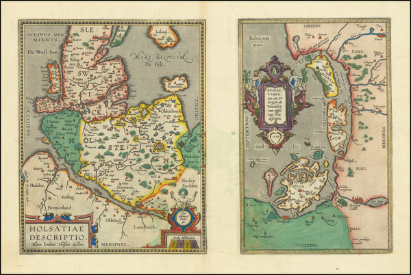
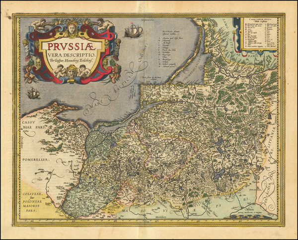
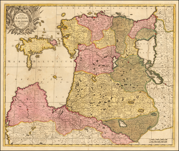
Holsatiae Descriptio [with] Rugiae Usedomiae et Iulinae Wandalicarum insularum Vera descrtiptio 1584
Place/Date:
Antwerp / 1598
Size:
19 x 12 inches
Condition:
VG+
Stock#:
83746
Place/Date:
Amsterdam / 1695 circa
Size:
23.5 x 19.5 inches
Condition:
VG
Stock#:
91157
Rare map showing the Baltic Countries by Danckerts made in 1695.
Place/Date:
London / 1794
Size:
28.5 x 20 inches
Condition:
VG
Stock#:
102963
Place/Date:
Amsterdam / 1690 circa
Size:
23 x 19 inches
Condition:
VG
Stock#:
56408
Valk's 1690 antique map showing the Baltic Countries.
Place/Date:
Antwerp / 1609
Size:
19.5 x 15 inches
Condition:
VG
Stock#:
61683