
Search
Place/Date:
London, Edinburgh, Dublin, and New York / 1850
Size:
14.5 x 21 inches
Condition:
VG
Stock#:
94579
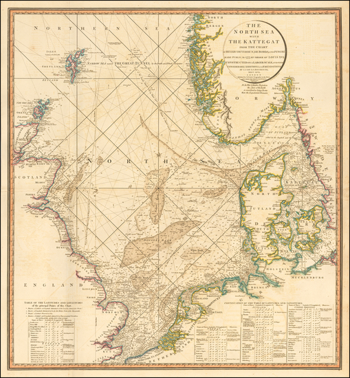
Place/Date:
Edinburgh / 1817
Size:
25 x 20.5 inches
Condition:
VG
Stock#:
48416
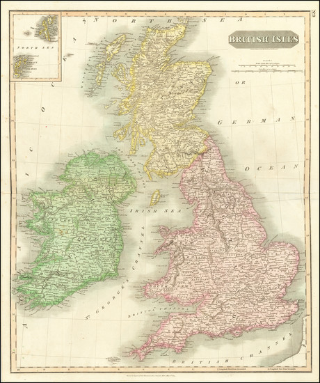
1817 antique Thomson map showing the British Isles.
Place/Date:
Edinburgh / 1817
Size:
20 x 23.5 inches
Condition:
VG+
Stock#:
77453
Place/Date:
London / 1675
Size:
11 x 13 inches
Condition:
VG
Stock#:
53318
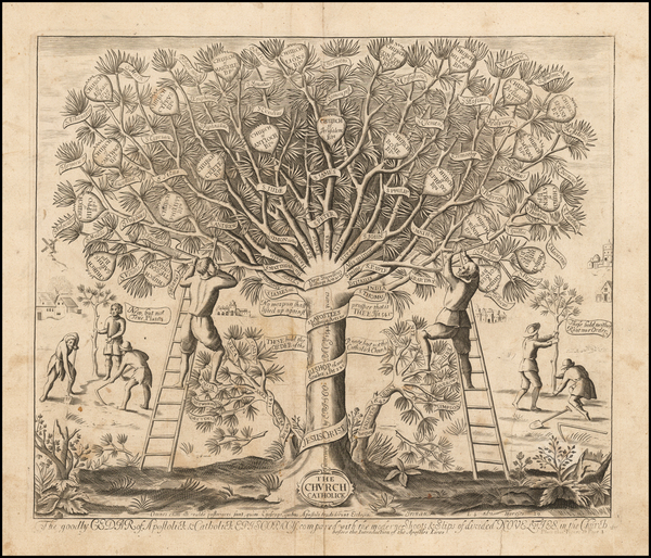
Original map showing the British Isles by Anonymous, 1675.
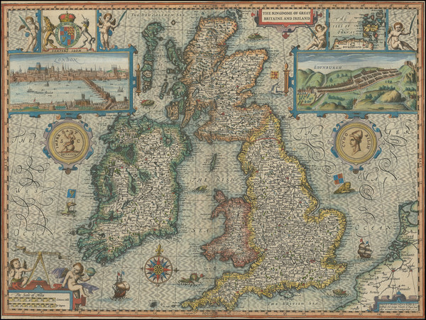
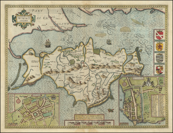
Place/Date:
London / 1610 circa
Size:
20.25 x 15 inches
Condition:
VG
Stock#:
94248
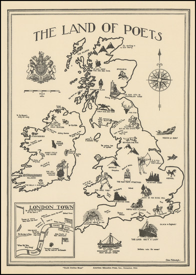
Place/Date:
Columbus, Ohio / 1930 circa
Size:
9.2 x 13 inches
Condition:
VG+
Stock#:
101737
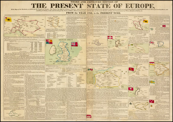
Place/Date:
London / 1813
Size:
26 x 24 inches
Condition:
VG+
Stock#:
51373
1813 antique Faden map showing the British Isles.
Place/Date:
Derby / 1818 circa
Size:
26.5 x 19.5 inches
Condition:
VG+
Stock#:
40168
Wilkins's 1818 original map showing the British Isles.
Place/Date:
London / 1834
Size:
27 x 32.5 inches
Condition:
VG-
Stock#:
51236
Antique map showing the British Isles by Le Gros made in 1834.
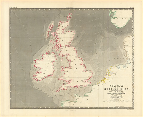
Place/Date:
London & Edinburgh / 1857
Size:
23 x 19 inches
Condition:
VG+
Stock#:
97263
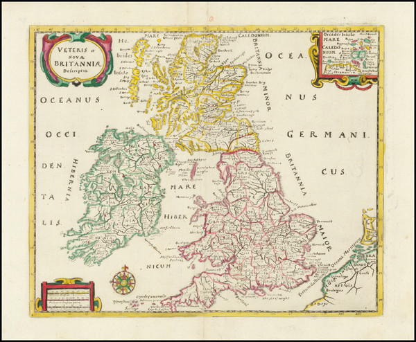
Place/Date:
Amsterdam / 1661
Size:
10.5 x 8.5 inches
Condition:
VG+
Stock#:
91779
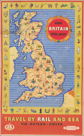
Place/Date:
UK / 1950 circa
Size:
23.75 x 38.5 inches
Condition:
VG
Stock#:
97855
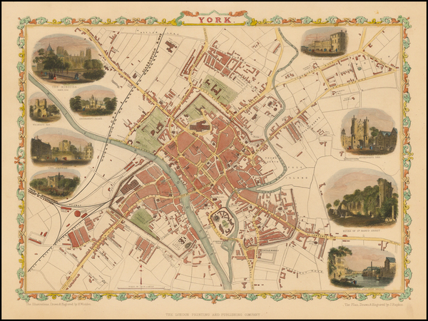
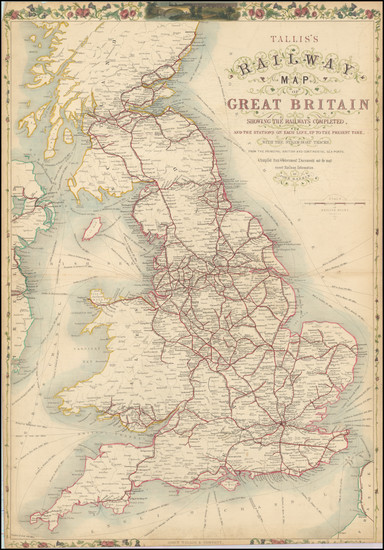
Antique map showing the British Isles by Tallis made in 1851.