|
||

|

|
|

|
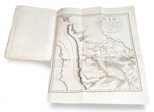
Nice example of Tanner's map of Michigan, with interesting early/primitive counties, Indian Lands, etc. A massive Ottawas and Michilimackinac area is shwn, with the Chippewa, Menomonie Indian areas in the Upper Peninsula. The large Saginaw region is is now being subdivided into counties, along with the area to the west. Shows Canals and Railroads (actual and proposed), steam and stage routes and distances and other early details. A terrific ephemeral map of Michigan, at a time when it was changing annually. Tanner's New Universal Atlas became the standard work in the Industry until Tanner sold the rights to the atlas in 1846 to SA Mitchell. The atlas is well regarded for the high quality paper and fine engraving, comparable to the American Atlas. Tanner's Universal Atlas is now rare on the market and the separate maps are now increasingly difficult to obtain.
![Carte De La Louisiane Et Du Cours Du Mississipi . . . Juin 1718 [1st State!]](https://storage.googleapis.com/raremaps/img/small/59797.jpg)