The item illustrated and described below is sold, but we
have another example in stock. To view the example which
is currently being offered for sale, click the
"View Details" button below.
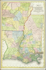
1832 Hinton, Simpkin & Marshall
$ 295.00

Stock# 97131d