This item has been sold, but you can enter your email address to be notified if another example becomes available.


|
||

|

|
|

|
Stock# 9616
Description
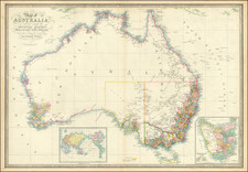
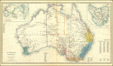
Detailed map of the region, colored by counties. Shows towns, rivers, mountains, lakes, roads, islands, etc. Inset plan of Sydney. The Society for the Diffusion of Useful Knowledge was active from the 1830s through the 1860s and published some of the best regional maps of the era.