


|
||

|

|
|

|
Stock# 92968
Description
The Ancient Sites of Great Britain!
Fascinating, mammoth-sized map of the British Isles showing sites of historical interested ranging in age from Paleolithic to Medieval.
Hundreds of sites are shown on the map, including neolithic villages, Roman baths, and ancient forts. The age of the various sites is demarcated with changing symbols.
This map was published in 1951 by the Ordnance Survey. In all, an attractive and fascinating piece.
The map was issued in later editions through at least the 1990s.
Condition Description
Two sheets, unjoined. Some toning. Paste-down Corrigenda. Manuscript/stamped price. Minor loss in lower map of southern sheet.
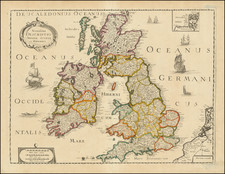
![[ Roman Britain ] Britannicae Insulae in quibus Albion Seu Brittania Major, et Ivernia Seu Brittania Minor juxta Ptolemaei mentem divisa . . . 1778](https://storage.googleapis.com/raremaps/img/small/103269.jpg)
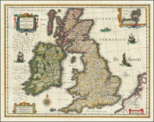
![[ Atlas of England & Wales ] Geographiae Blauianae Volumen Quintum, quo Anglia, quae est Europae liber undecimus, continentur](https://storage.googleapis.com/raremaps/img/small/99196.jpg)