|
||

|

|
|

|
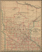
The First Map of Hastings, Minnesota Territory
Finely executed map of the future City of Hastings, published at the end of the boom period following the opening of the region to settlement in 1851.
The map shows the town as it was surveyed and laid out by Ignatius Donnelly, although the Panic of 1857 would significantly slow the growth of the town.
The present example is lacking a small top sheet, with title and two smaller regional maps along with a short key to locations on the map.
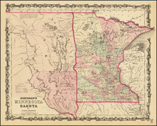
Hastings
In 1820, a military detachment led by Lieutenant William G. Oliver was sent from Fort Snelling to the Hastings area to take control of a blocked shipment of supplies. The area would soon be called Oliver's Grove.
By 1833 a trading post was opened at Oliver's Grove. Following the Treaty of Mendota (1851), the area was opened to settlement.
By 1857, Oliver's Grove was surveyed and incorporated as a city and Hastings was became the county seat of Dakota County.
In the mid-19th century, Hastings, Prescott, Wisconsin, and the adjacent township of Nininger were areas of tremendous land speculation. Ignatius L. Donnelly promoted the area as a potential "New Chicago." The Panic of 1857 put an end to this dream. The speculation and panic caused the cities' growth to be less than expected given their location at the confluence of two significant rivers; today, their combined population is approximately 25,000, and all that remains of Nininger is a few building ruins.
Rarity
OCLC locates 2 examples. Minnesota Historical Society and University of Minnesota (both with upper panel).
![[Hastings, Minnesota]](https://storage.googleapis.com/raremaps/img/small/92128.jpg)

![The Minnesota Handbook, for 1856-7 [with] Minnesota Published by J.H. Colton & Co... 1857.](https://storage.googleapis.com/raremaps/img/small/69729.jpg)