This item has been sold, but you can enter your email address to be notified if another example becomes available.


|
||

|

|
|

|
Stock# 91953
Description
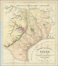
Scarce early map of Texas, colored by counties, from Morse's rare General Atlas of the World.
The map includes many early county configurations in the West.
The map employs the cerographic printing process, invented by the Morse family and described by David Woodward in The All American Map.

![[ Indian Territory / North Texas / Arkansas ] General Topographical Map. Sheet XXIV. Plate CLIX](https://storage.googleapis.com/raremaps/img/small/95113.jpg)