This item has been sold, but you can enter your email address to be notified if another example becomes available.


|
||

|

|
|

|
Stock# 91684
Description
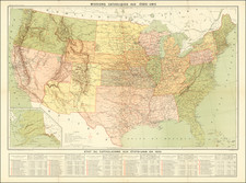
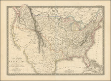
Pre-Civil War Map of the United States
Scarce mid-19th century map of the United States to just west of the Mississippi.
The map includes a large inset of south Florida and another of New England.
The map shows fine lines of distance radiating out from New York City.
Settlement was just reaching eastern Iowa and southeastern Wisconsin at the time.
Condition Description
Original hand-color. Minor toning.