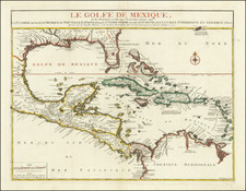
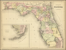
|
||

|

|
|

|
Scarce U.S. Coast and Geodetic Survey chart of the Florida Reefs, which extends from Key West in the east to Rebecca Shoal in the west.
The chart includes a wealth of hydrographic and bathymetric data, including the locations of various keys such as Marquesas Keys, Cottrell's Key, Woman and Man Keys, and others. The chart also includes a detailed plan of the city of Key West.
This edition of the chart was published in 1880 and printed in 1888, although the surveying work that went into its creation began in 1849.
This is a U.S.C. & G.S. nautical chart, which is a type of map specifically designed for use by mariners to navigate waterways. Nautical charts are typically characterized by the inclusion of extensive hydrographic and bathymetric data, as well as other information relevant to navigation such as the locations of navigational aids, the shape and nature of the coastline, and the locations of hazards. The U.S. Coast and Geodetic Survey is a federal agency responsible for producing and maintaining nautical charts and other geodetic products for the United States.


![[ Gulf Coast & West Coast of Florida ] De Cust van Westindien Van La Desconoscida, tot C. Escondido. . .](https://storage.googleapis.com/raremaps/img/small/65741.jpg)
![[Pensacola] Piano del Porto, e degli Stabilimenti di Pensacola](https://storage.googleapis.com/raremaps/img/small/89465.jpg)