|
||

|

|
|

|
Stock# 90688
Description
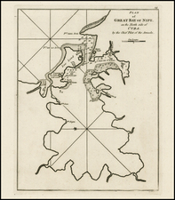
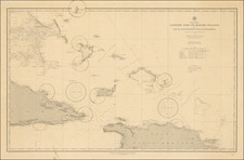
A scarce pair of nautical charts from the 1880s, together covering all of Cuba and some of the adjacent islands and cays.
The charts, which are printed in yellow and black, include some inset charts of harbors and coastal profiles and lighthouse profiles.
Though the charts were published by the U.S. Hydrographic Office, they include attribution to the British Admiralty Charts (numbers 2579 and 2580), on which they are based.
Condition Description
Two sheets, unjoined. Some scattered toning and soiling.
![Cuba Insula [with] Hispaniola Insula [with] Ins. Jamaica [with] Ins. S. Ioannis [with] I.S. Margareta [with] Havana portus](https://storage.googleapis.com/raremaps/img/small/95302.jpg)

![[Revolutionary War Plans of New York, Boston, Charleston, Delaware River to Philadelphia & Havana] Various Plans and Draughts of Cities, Towns, Harbours &c . . .](https://storage.googleapis.com/raremaps/img/small/83450.jpg)