|
||

|

|
|

|
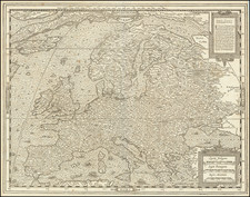
This impressive map, titled "Физическая Карта Европы" (Physical Map of Europe), provides a detailed representation of the geographical features and natural landscapes across the European continent during the late 19th century.
Created by Friedrich Arnold Brockhaus and published in Leipzig around 1890, the map is written in Russian, which is unusual for maps of this subject and time period. It showcases various physical features such as mountains, rivers, plains, and forests, offering a comprehensive overview of Europe's diverse terrain and ecosystems.
Different colors and shading are used to represent various geographical features and elevation levels, making the map visually engaging and easy to comprehend. While the map may contain some inaccuracies due to the knowledge of the late 19th century, it remains a valuable resource for historians, geographers, and anyone interested in understanding the historical perception of Europe's physical landscape and natural environment.
As a historical artifact, the map offers captivating insight into the evolving understanding of European geography and the continent's diverse ecosystems.
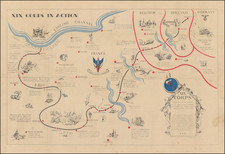
![[ First World War) ] The World Cannot Live Half Slave, Half Free -- The Prussian Blot -- 100,000,000 People Already Enslaved By Germany](https://storage.googleapis.com/raremaps/img/small/68731.jpg)