|
||

|

|
|

|
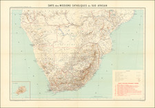
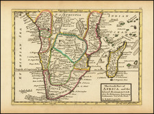
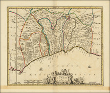
Fine old color example of Isaak Tiron's well engraved map of the southern part of the African continent.
The map covers all of South Africa and large portions of the neighboring countries of Namibia, Botswana, Zimbabwe and Mozambique.
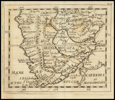
The map references the land of the Hottentots. Hottentot was a name historically used to reference the Khoekhoe people and/or the non-Bantu-speaking indigenous population as a whole, now collectively known as the Khoisan. The name began with early settlers in the Dutch Cape Colony run by United East India Company (VOC), who arrived in the region in the 1650s.
Isaak Tirion was a prominent Dutch publisher based in Amsterdam in the eighteenth century. He is best known for historical works that included prints showing scenes from around the world. He also produced maps, such as those in the Nieuwe Hand-Atlas of 1744.