|
||

|

|
|

|
Highly Detailed Allied Map of the Ludendorff Bridge Area. Printed Less than Two Months Before the Major Battle.
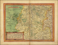
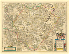
Important U.S. Engineer map of the region around Remagen, on the Rhine River, printed in 1945. The map shows the site of the Ludendorff Bridge, the Allies' critical first bridgehead across the Rhine, which is thought to have advanced the rate at which the Allies crossed the river by three weeks.
The map comes from a series of highly detailed maps of Germany published in advance of the Allied invasion and the defeat of the Siegfried Line. It shows nearly building-by-building detail with impressive topographical and geographical detail. An extensive legend appears to the right of the map.
The base map was produced in 1940. It was updated in November 1944 from aerial images. This edition was printed in January 1945 by the 663rd Engineers.
Maps such as this one would have been used by the American forces in preparation for taking the bridge.
Battle of Remagen
After the Allies crossed the Siegfried Line, the next major obstacle proved to be the Rhine River. The retreating German army was meant to destroy all bridges over the river after evacuating the west bank, but after an accidental early demolition of a different bridge, Hitler grew furious and required extreme caution before demolishing bridges.
The rapid advance of the Allies towards the Remagen area caught the enemy troops by surprise, and they failed to explode the bridge in time. American troops managed to cross to the east side of the bridge and hold their bridgehead for eighteen days before staging a breakout. In the meantime, five divisions crossed the Rhine under heavy artillery fire. The bridge eventually collapsed but the aid it provided to the war effort was immense.
![(Second World War - Battle of Moscow) [Red Army Operations at Solnechnogorsk, Moscow Oblast]](https://storage.googleapis.com/raremaps/img/small/83205.jpg)
![(Second World War - Holocaust) Walki z najezdzca Hitlerowskim I zbrodnie Hitlerowskie na terenie wojewodztw: Bialostockiego, Lomzynskiego i Suwalskiego w latach 1939-1945 [Fights with the Nazi invaders and Nazi crimes in the following voivodeships: Bialostocki, Lomzynskie and Suwałki in 1939-1945]](https://storage.googleapis.com/raremaps/img/small/82911.jpg)