|
||

|

|
|

|
Stock# 89057
Description
Rare Overprint Edition
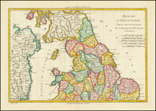
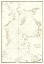
General map of the British Isles and Ireland, published in Nazi Germany during the waning days of the blitz. The map shows the topography and roads of England, Scotland, and Ireland, with roads, railroads, towns, cities, and more all shown.
This map was used by the German Luftwaffe during the planning of sorties. It is based on captured English intelligence, as suggested in the lower left.
The map acts as an index map of the British Isles, with purple boxes denoting maps available at a finer resolution of 1: 100 000. The purple overprint on this map is uncommon to see and would have been useful to Luftwaffe pilots in navigating between the general map and smaller, regional maps.
Condition Description
Fold toning. Small pair of holes in lower left legend.
![[ Northwest Cornwall ] De Custen van Engelandt tussche C. Corwal et het eijlandt Londey](https://storage.googleapis.com/raremaps/img/small/96664.jpg)