|
||

|

|
|

|
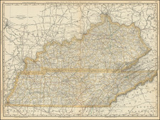
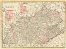
The First Map of Tennessee Published in Europe
A fine example of the Alexandre Buchon's map of Tennessee.
The map is hand colored by county and shows the various towns, roads, rivers, and is surrounded by text describing the state, its population, governors, religion, education, commerce, climate, topography and other details.
From the French edition of Carey & Lea's American Atlas. The French edition is known for being a superior work, using better paper and a superior engraving technique.
Jean Alexandre Buchon (1791-1849) was a French scholar and historian. Born as the French Revolution raged, Buchon was dedicated to recovering France’s history in order to help the country heal and grow. He gathered French stories and published them as part of Collection des chroniques nationales franciases ecrites en langue vulgaire, du XIe au XVIe siècle (4 vols, 1824-1829). He also compiled and published an exploration collection and several histories, particularly about medieval France.
For geography, his most important contribution was publication of the French edition of Carey & Lea’s American Atlas in 1825. Each page of the atlas includes highly detailed text about the state or territory depicted, as well as a map of the area. The French edition is generally considered in high regard as compared to other editions, as it has quality paper and superior engraving.
![[Shows Franklinia!] Charte Der XV Vereinigten Staaten von Nord-America Nach Murdochischer Projection . . . F.G. Gussefeld . . . 1804](https://storage.googleapis.com/raremaps/img/small/91386.jpg)