|
||

|

|
|

|
Stock# 88500
Description
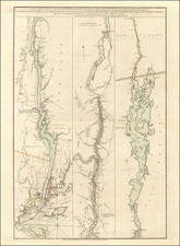
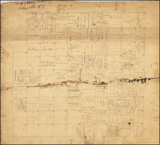
Interesting large-scale plan for a proposed artificial harbor meant to allow commercial shipping to make its way around Niagara Falls and thereby transit between the western Great Lakes and the St. Lawrence River.
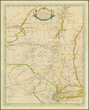
The map covers the area between Lake Erie and Lake Ontario, in the vicinity of modern-day Queenston, Ontario, and Lewiston, New York.
The map was made under the direction of William G. Williams of the United States Topographical Engineers.
Condition Description
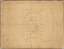
Two sheets joined as one. Old folds. Some stoning and offsetting.