|
||

|

|
|

|
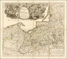
The Polish Republic During Its Earliest Days.
Rare and impressively sized map of Poland published during the interwar years, focusing on transit corridors and lines of communication.
The map divides Poland into its constituent states and shows not only railroads and roads but also nascent air routes. Other geographical features are shown. Insets of major cities appear in the lower left. The administrative divisions of Poland are shown below the map.
The map shows the interwar configuration of Poland, with "East Prussia" carving out a large part of its present-day Baltic Sea coast. This configuration would last until the outbreak of the Second World War.
The youngest date to appear on the map appears to be 1921 (a census was made in that year), suggesting that this map was made in the years immediately after the 1918 founding of the Polish Republic.
Rarity
The map is extremely rare, as very few examples seem to have survived due to its large size and fragile nature. We can trace only a single institutional example, held by the Staatsbibliothek zu Berlin; while we have not been able to find any sales records for any other examples.
![Thietmarsiae, Holsaticae Regionis Partis Typus Auctore Petro Boeckel [with] Prussia Descriptio ante aliquot annos ab Henrico Zellio ab coque D. Ioanni Clur. civi Gedanesi Ded:](https://storage.googleapis.com/raremaps/img/small/45904.jpg)